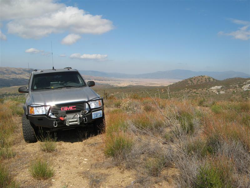
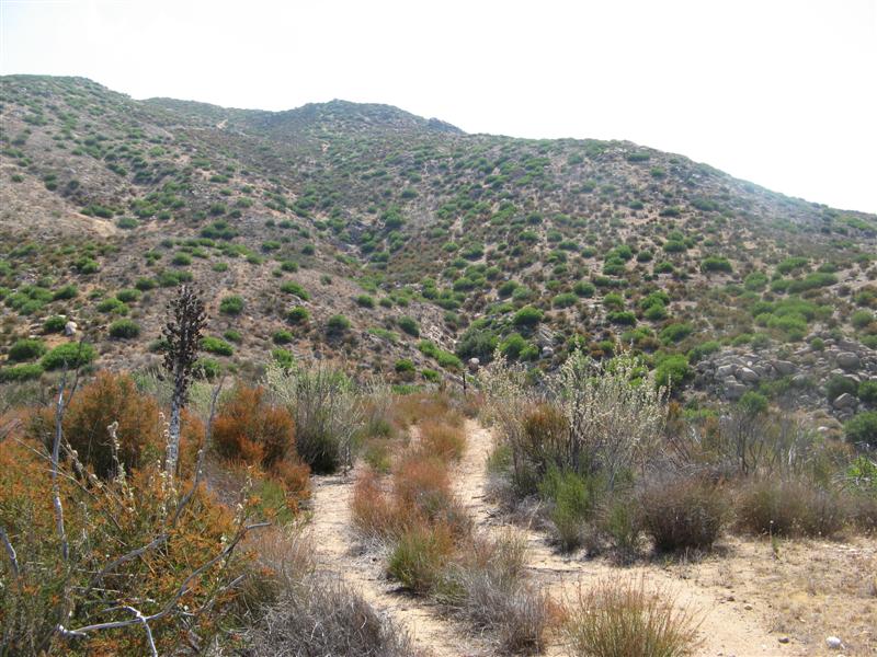
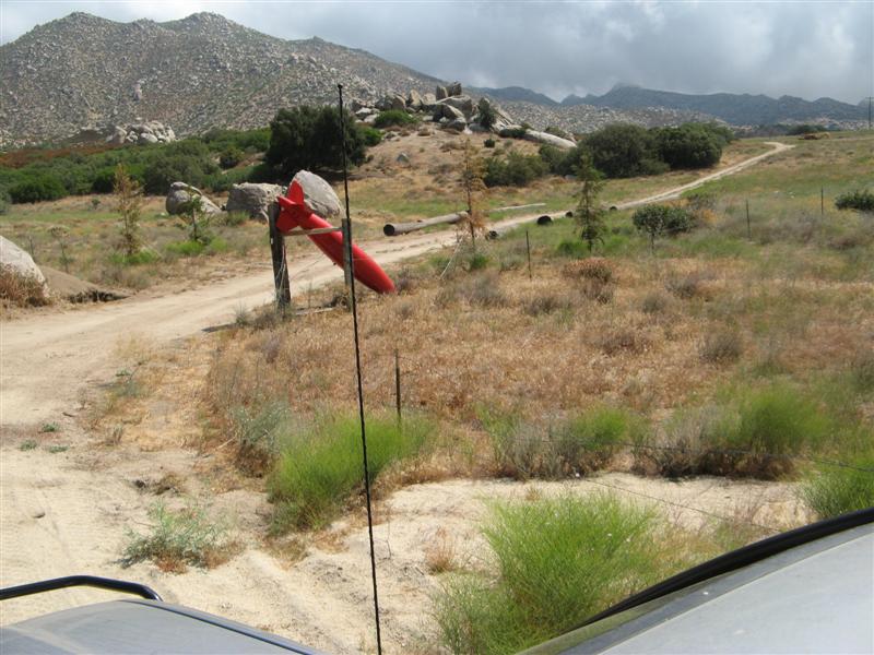
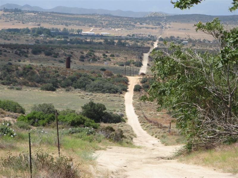
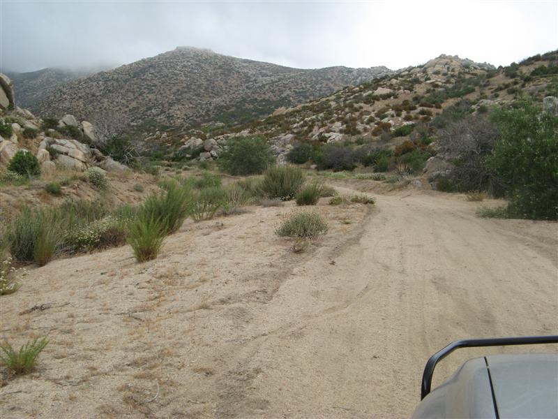
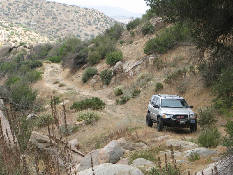
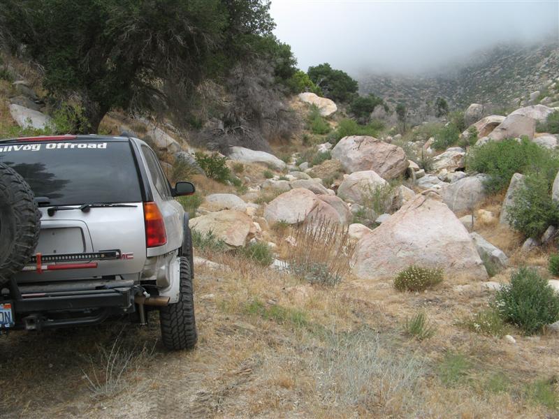
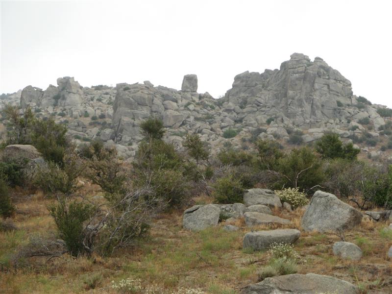
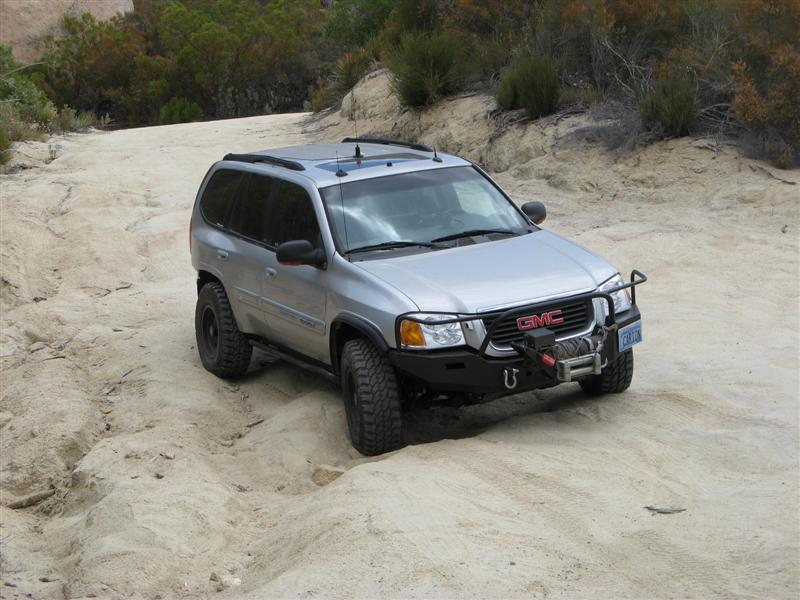
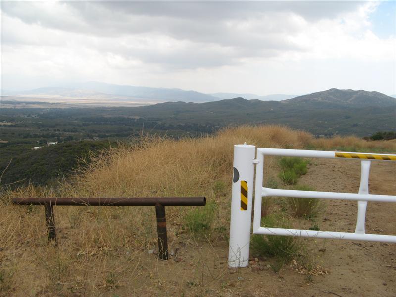
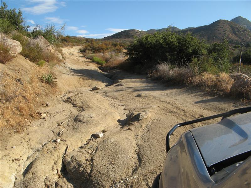
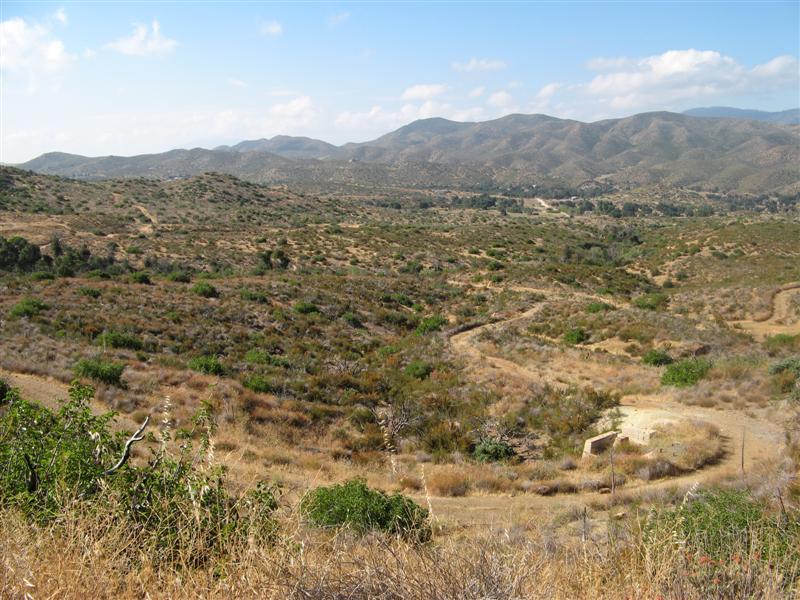
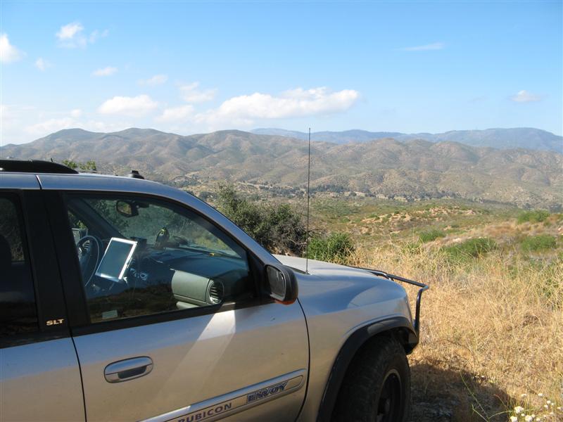
It was outstanding. Narrow in places, and brushy, and almost no signs at all of significant traffic. I might guess only a dozen vehicles a year come up here? No tracks to speak of and overgrown centers where the rain encouraged it.
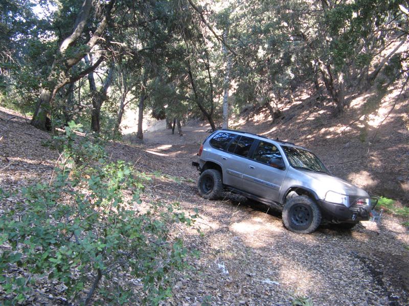
Nice grove.
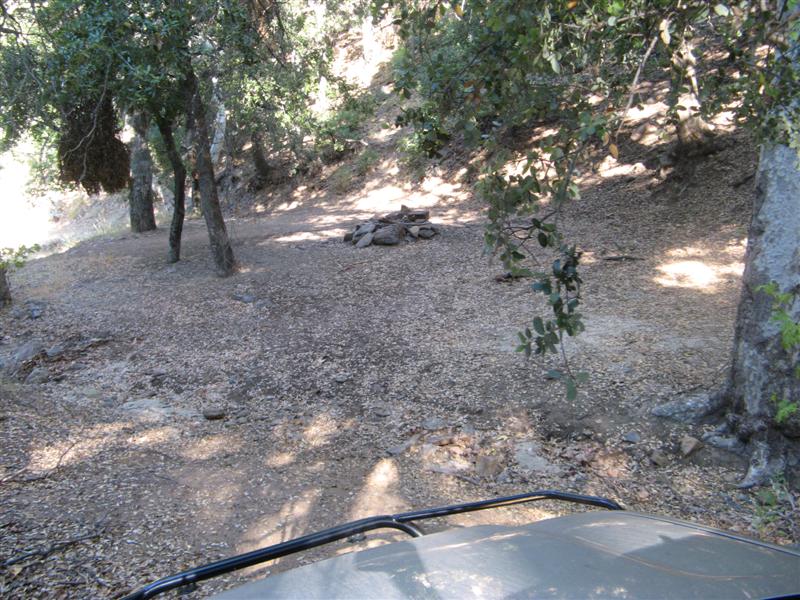
One fire ring - BLM allows free camping, and this remote and secluded site didn't show evidence of the possible yahoos that sometimes infest remote and secluded sites with beer cans to clean up, shotgun shells, brass casings, trash, etc. A clean, underutilized and remote site is worth keeping track of.
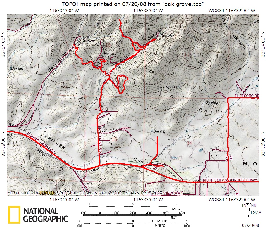
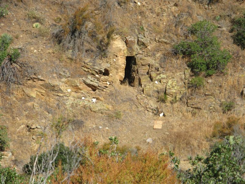
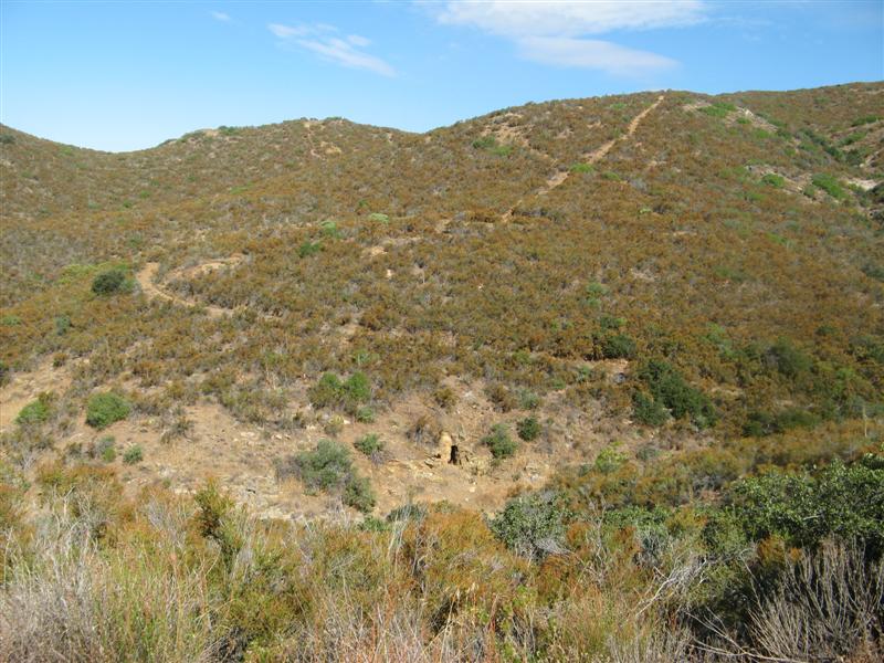
Outside the canyon, there's a trail to the Montezuma Mine, mentioned on gorp.com as follows:
...it dead-ends high on the mountain at a caved-in gold mine workings, Montezuma Mine. California Dept. of Mines and Geology (CDMG) Report #3 offers this on the Montezuma (Rice) Mine district:
Gold-bearing deposits in the district consist of northeast- trending quartz veins in metamorphic rocks that consist mainly of schist, and hybrid rocks composed of schist and quartz diorite. The deposits probably were prospected first in the 1890s by the Rice brothers of Warner Springs.
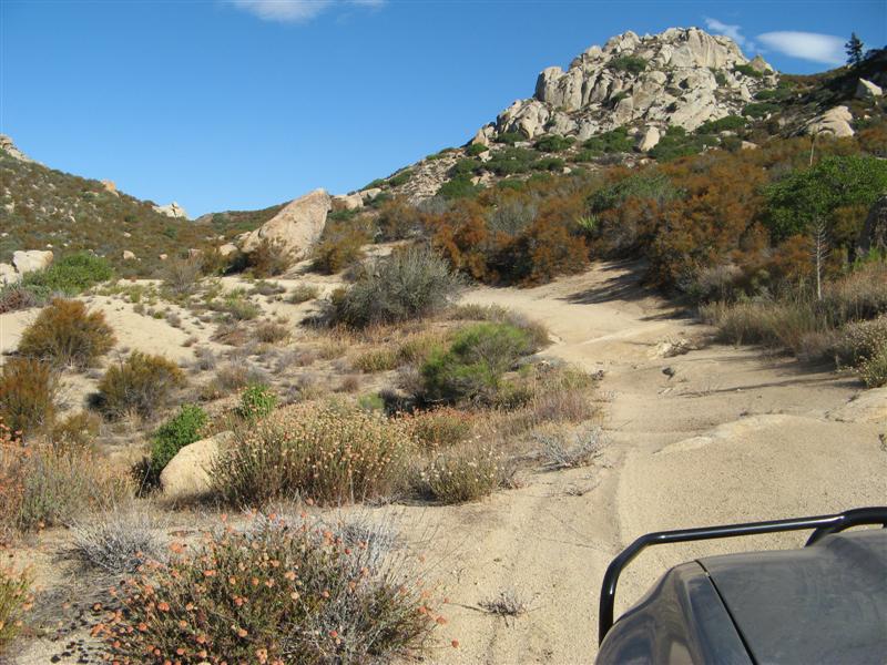
View down-valley
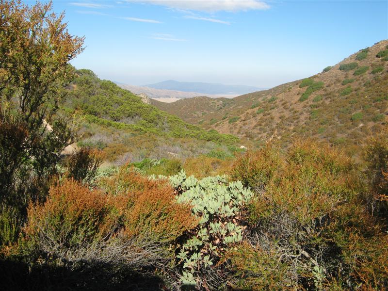
Progress stopped by this gulley
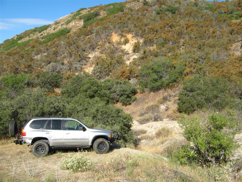
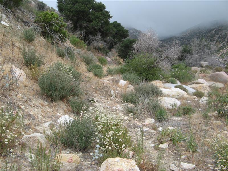
Grass on the trail
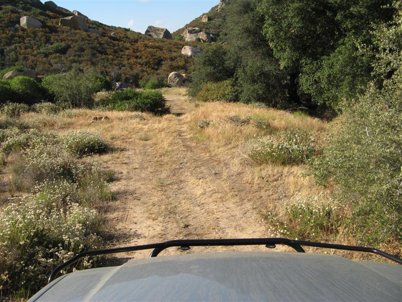
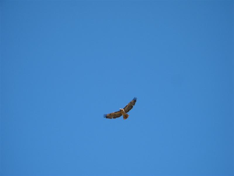
Mr. Hawk about 30 feet up
More trail
More grass on the trail
Mine entrance
More trail beyond the mine.
More to come......

