Here's the start of this slow thread. I'll try to document a good bit of the trip.
My wife and I set out Friday, Sept 9th from Maryland. It will take us 3 days of driving to get to the mountains of Colorado. 2 planned stops between MD and CO. The first in WV with family, the next in Topeka KS.
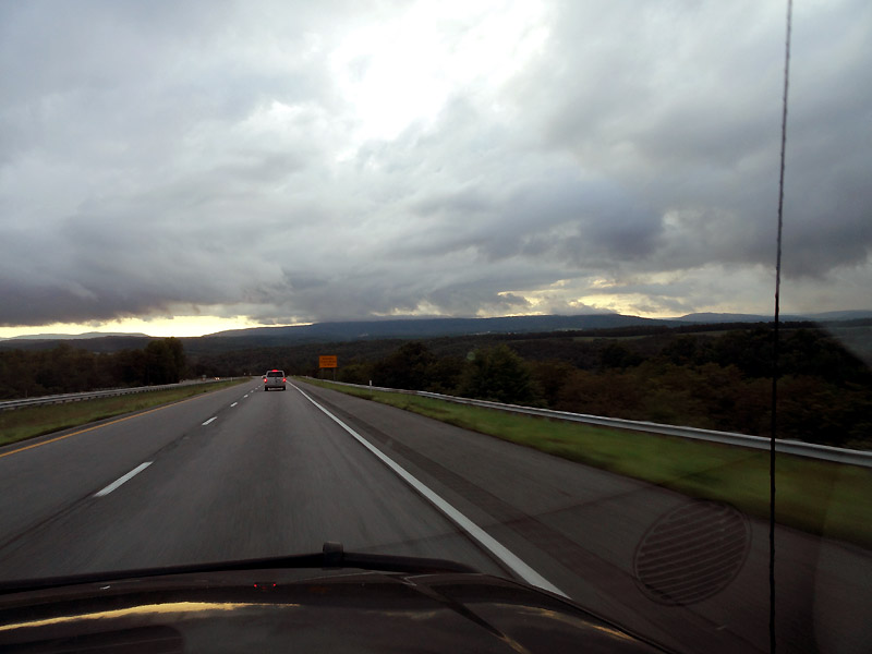
We left after work on Friday, and headed out under an ominous sky.
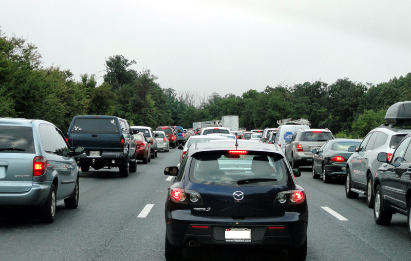
Soon after hitting the road, we hit the traffic that turned the 6 hour drive into an 8 hour drive. Not great when hitting the road at about 4pm, and getting up early the next.
During the remaining dark hours of the drive, we passed the "east coast continental divide". Max elevations were around 2800 feet. Sounds like nothing now that we've been through CO... but those inclines certainly challenge any heavily laden vehicles.
After a restless night and a quick breakfast with the family, we headed off.
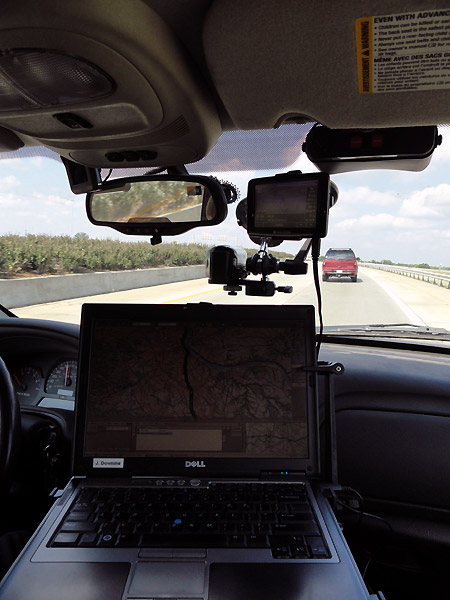
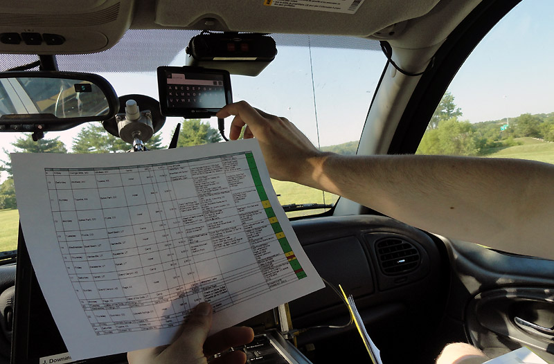
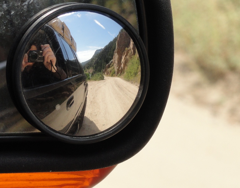
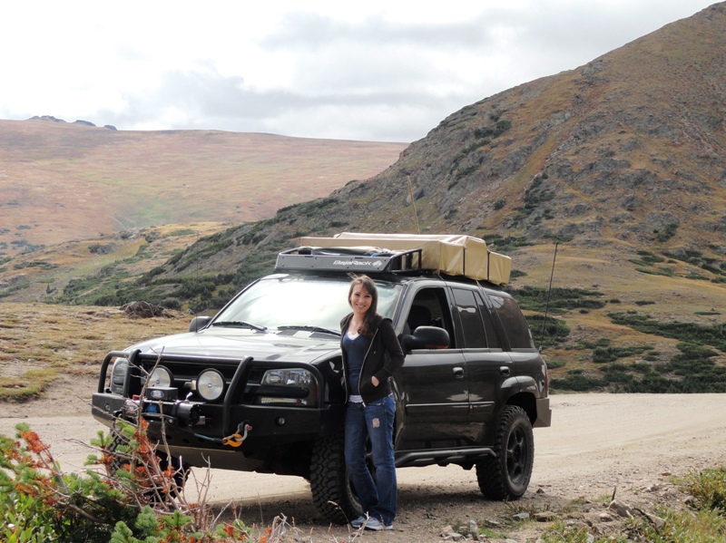
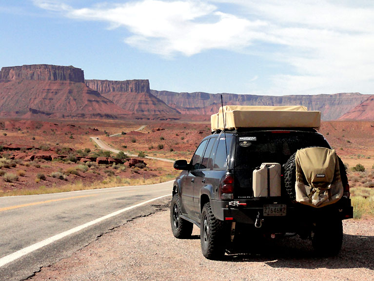
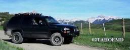
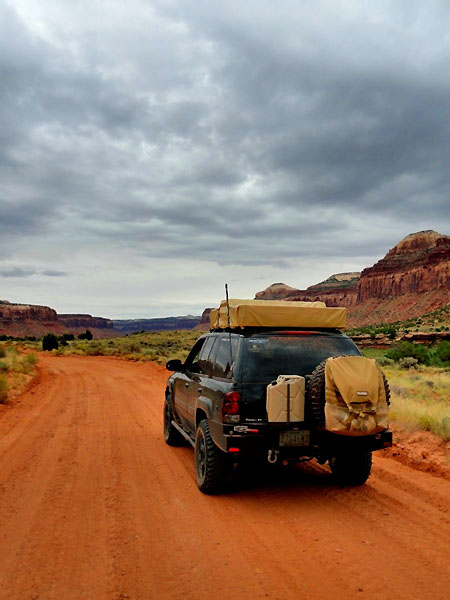
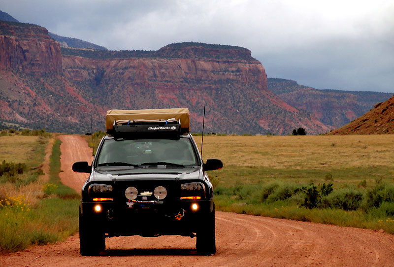
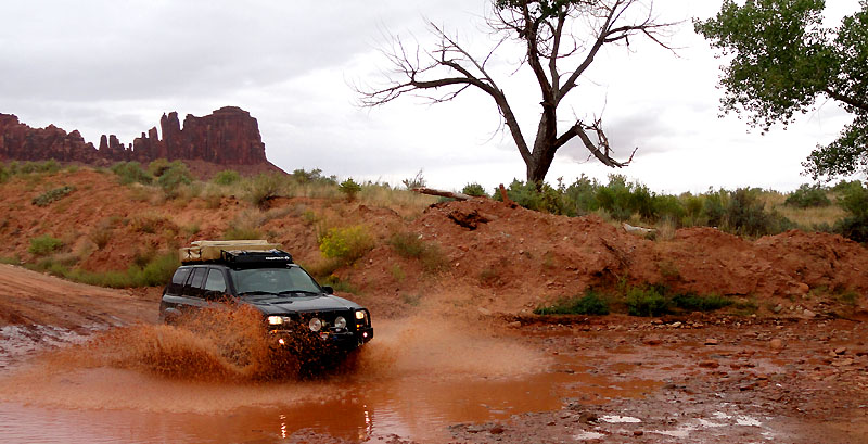
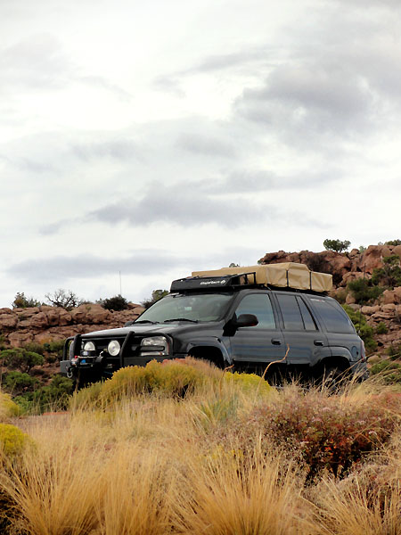
With a conventional road GPS, a laptop GPS, and a SPOT tracking our location, we headed off. Below you can see the layout, including the dash cam setup on a suction mount.
West Virginia, Kentucky, Indiana, Illinois, Missouri, Kansas... time for a rest stop...
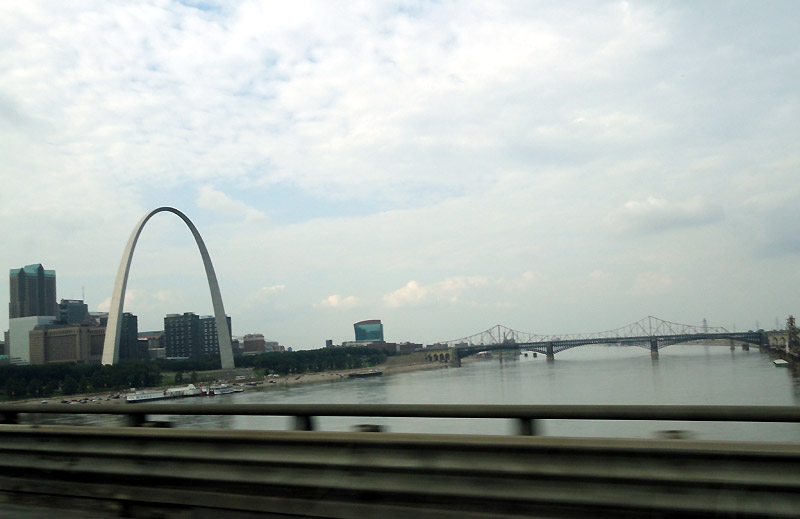
Mississippi River, and the St. Louis arch. Basically the only notable location of the day.
Stayed at a fancy hotel that night to try to get more rest before the haul to Estes Park, CO for the next night. Here's a look at the itinerary sheet... plugging it all into the GPSes. Megan said she felt like she was navigator for the space shuttle or something with all the tracking systems we had. Maybe it was overkill for much of this trip, but there were times when it was certainly nice to have them all.
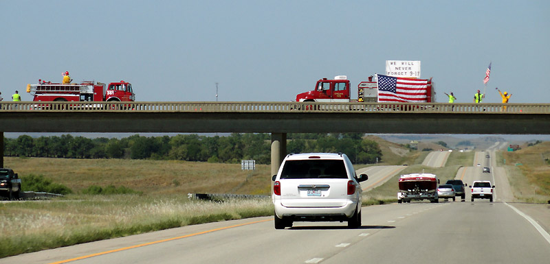
Today was also the 10th anniversary of 9-11. I thought it was incredible that even though we were in the middle of nowhere, Kansas, that every single overpass had people or firemen hanging out, waving flags, showing their support for this country. Even though there were no skyscrapers nearby, people didn't forget, and gave their time to show their support. At one overpass there was a single motionless fireman in full turnout gear, holding a flag. That single image was quite powerful and will probably stay in my mind just as some of the other images from 9-11 will.
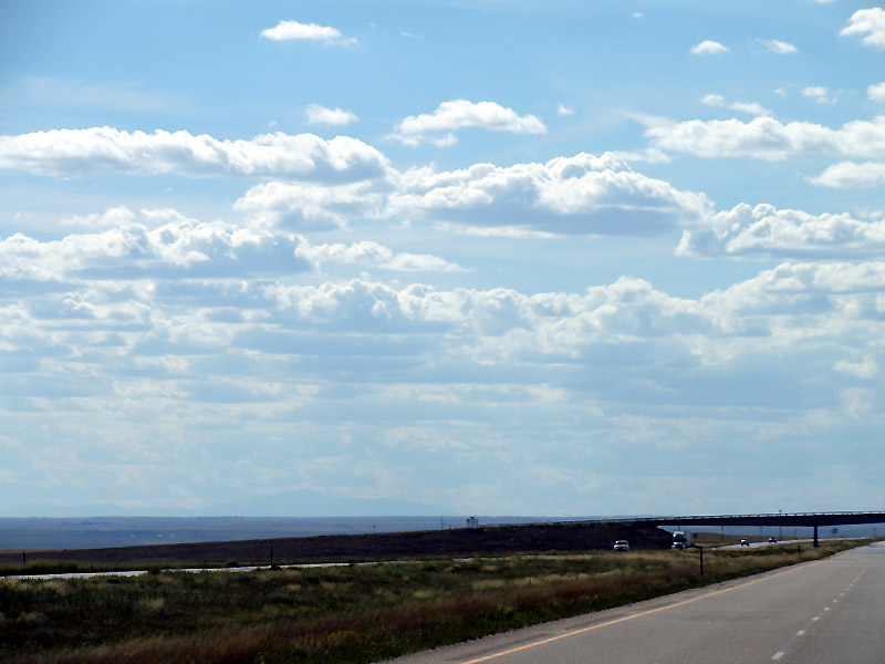
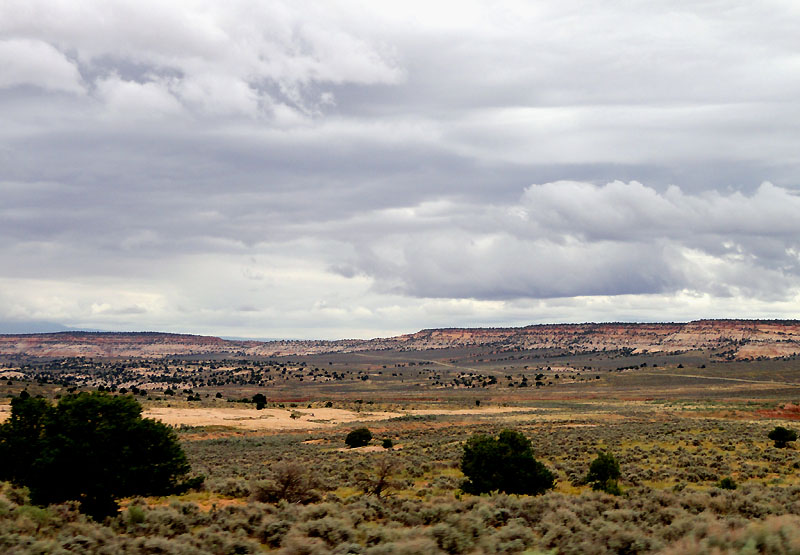
The rest of the drive was very uneventful. If you've never been through Kansas, it is actually very beautiful, but in it's own unique way. The beauty doesn't really carry through the entire 8 hour drive to Denver... at a certain point you just want out... your foot presses on the gas, and the fuel economy goes out the window.
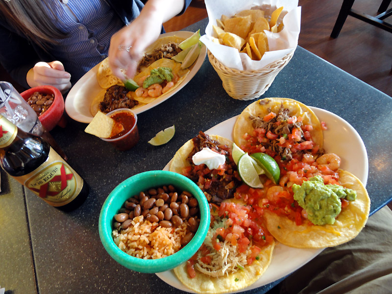
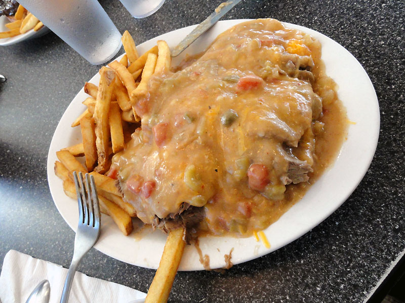
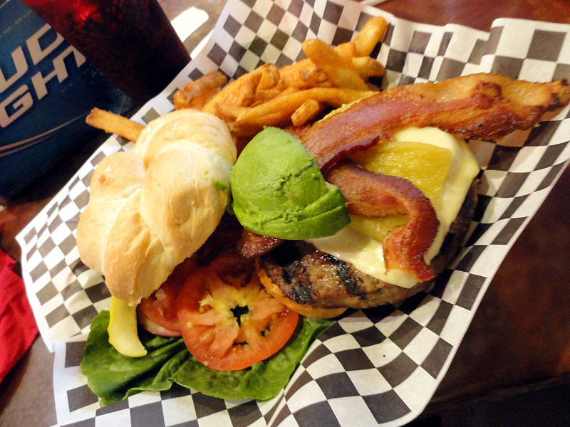
Once we got to Denver, we quickly found a good local food joint and chowed down. This was a place called "Jack-n-grill". Nice fresh Mexican food... if anyone's in the area, we surely enjoyed it.
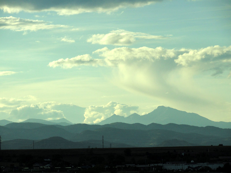
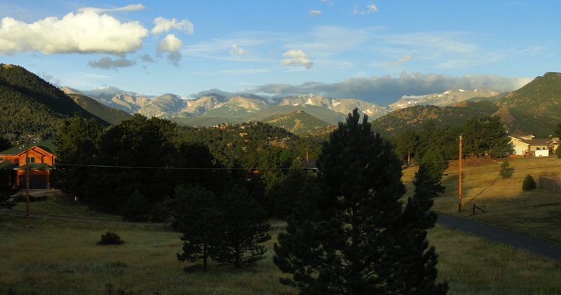
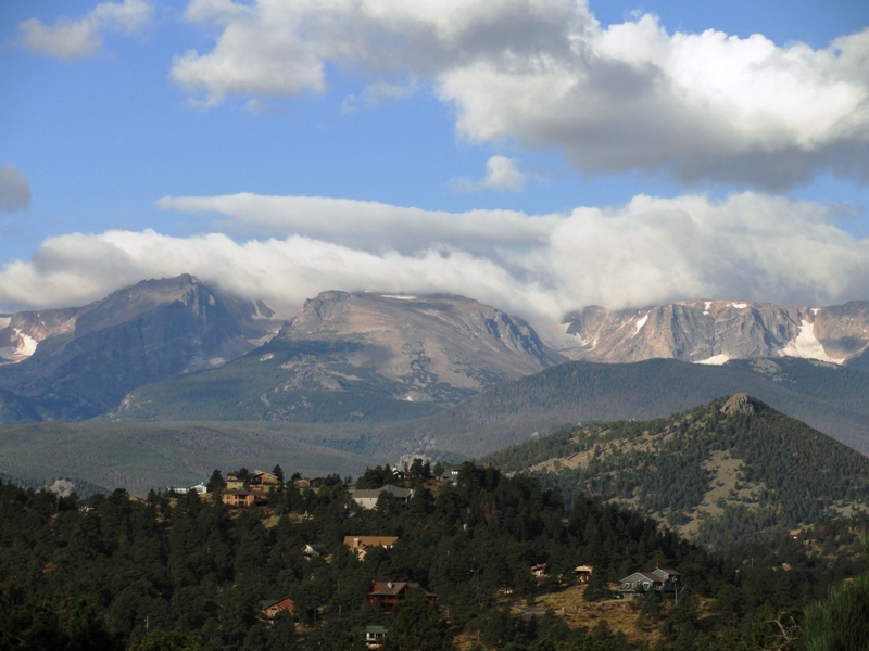
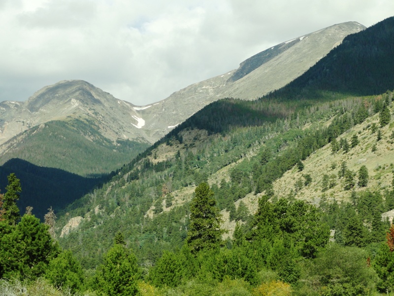
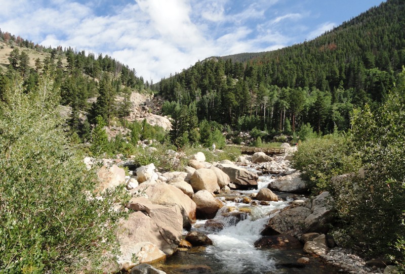
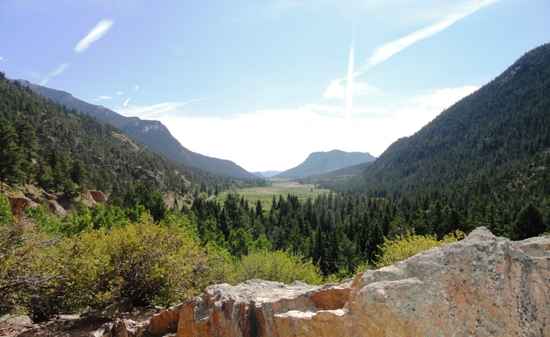
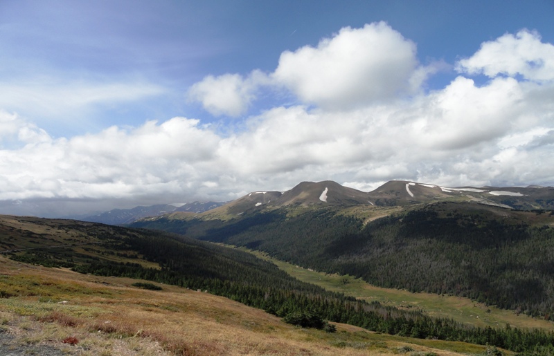
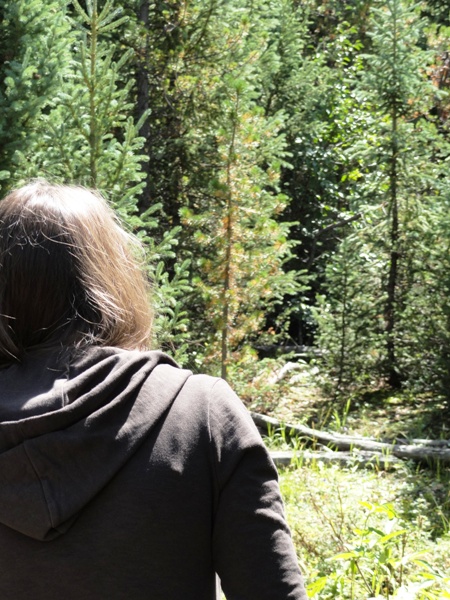
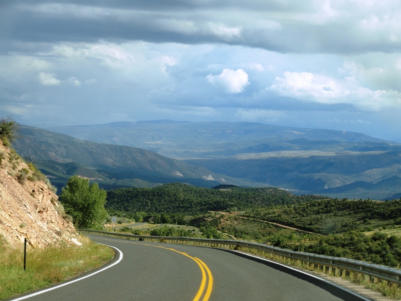
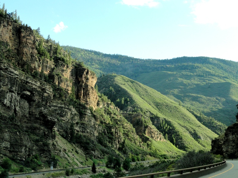
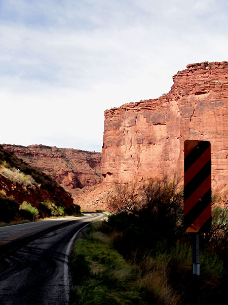
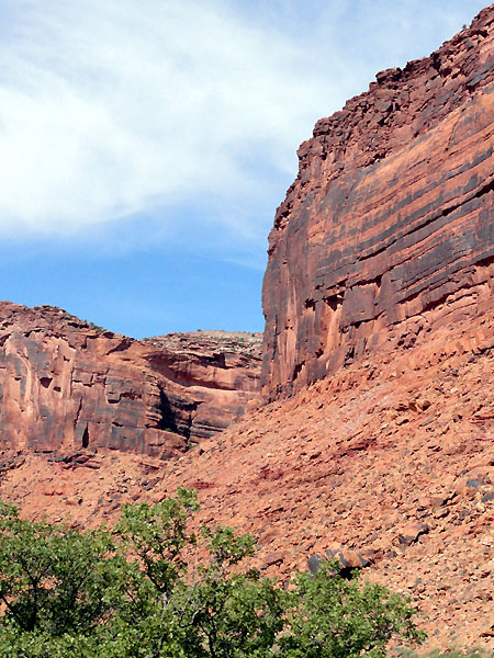
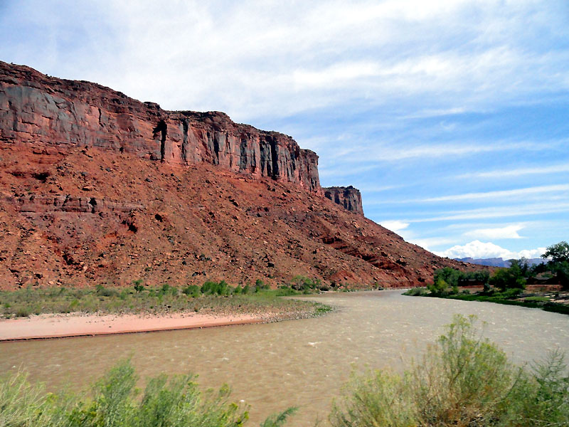
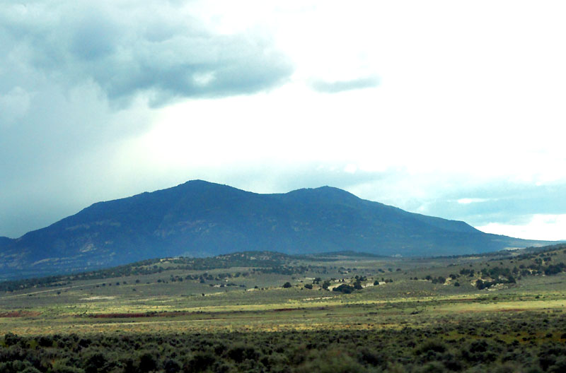
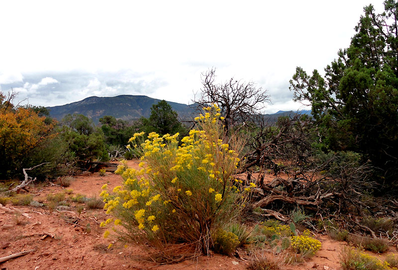
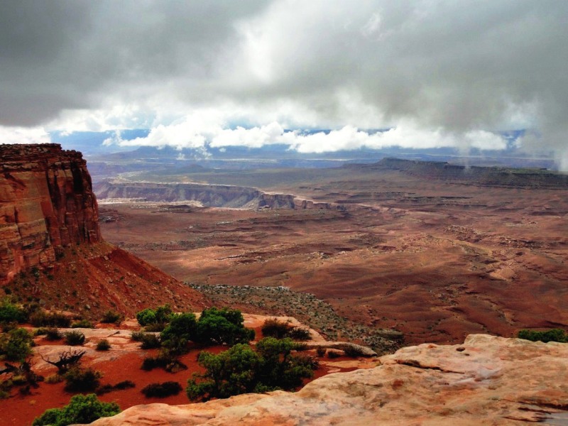
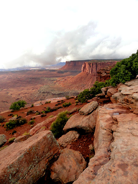
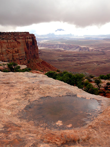
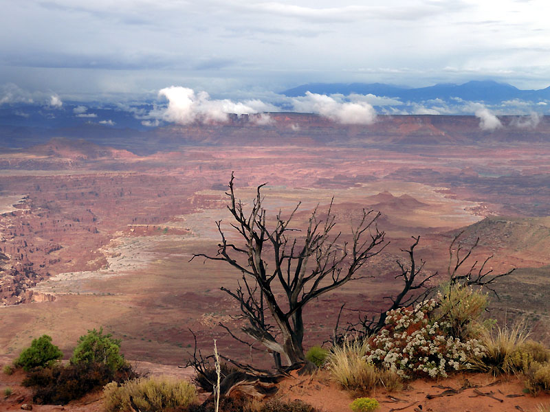
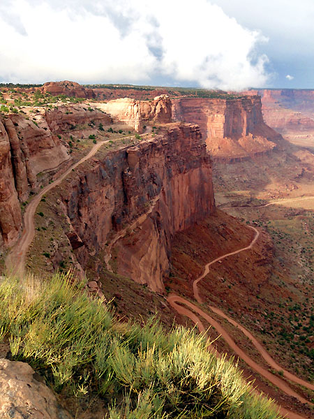
The last leg of the drive was the prettiest. It took us from approximately 5k feet to 7.5k feet in Estes Park. Much of the drive was in the dark, but we still enjoyed our first taste of the Rockies, and made us look forward to the next day, which would be the first with any time off pavement.
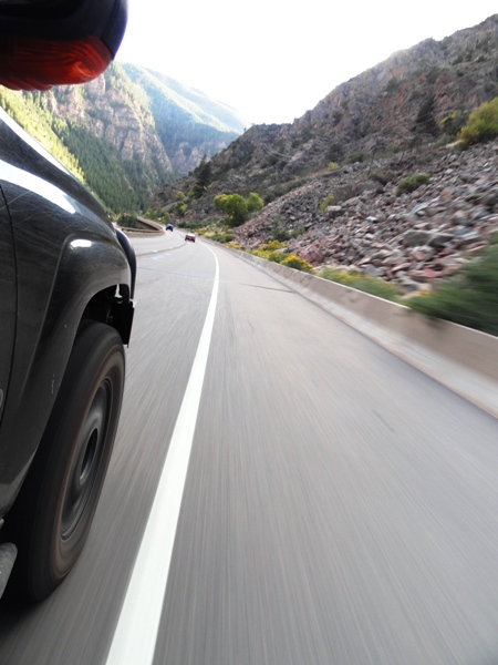
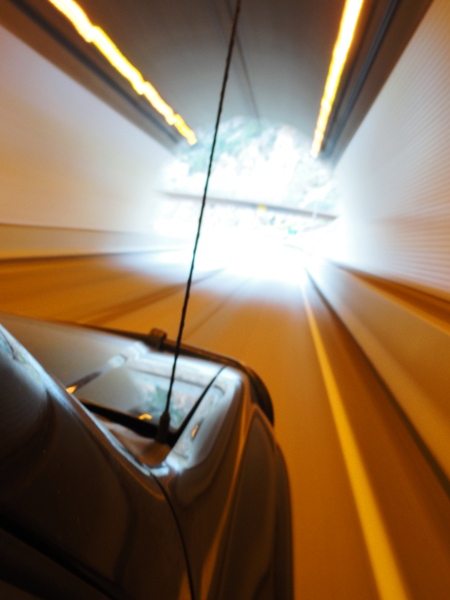
Here's a collage of videos from the dash cam, giving you a peek into our travel for the day:
Hoping to get up day 4 soon...
Last edited by Trail X on Fri Oct 07, 2011 10:09 am, edited 1 time in total.
Reason:Added video
The next day started with a surprising view of the Rockies from our room. Since we had arrived at night, we had no idea what the surroundings may be.
Driving out through Estes Park gave us a nice view towards the Rocky Mountain National Park, which we would be traversing today. This photo makes me want to own one of those homes on the hill in the foreground. Looks like a nice place.
My wife started getting worried about the possibility of high altitude sickness. So she was sure to read up on it. However, since we were going up a one way road, the only possible direction would be up.
At the entrance to the park, we actually opted for one of the annual national park passes, since we would be heading into a few during our trip. It may have saved us $5 during the trip, but it is good for a whole year too.
Every view in the park was extraordinary.
A nice side attraction was the "alluvial fan" that was caused by a dam breach some time ago. Makes for some nice pictures at least!
We took a turn up the Old Fall River Road. This road is a fairly well maintained and well traveled one-way dirt road. Nothing difficult or technical about this road. A few nice switchbacks, and some good cliffs. My wife is very afraid of heights, so I felt this road would be a good introduction into the rest of the trip. I figure if she can handle this road, she should be able to adjust to the rest of the trip. The road didn't really have any negative effects on her, and she still says this was one of the highlights of our trip in her mind.
The views were stunning as we climbed from what appeared to be a glacial valley up into the alpines. I'm going to let some of the pictures speak for themselves now.
Some decent heights involved, but nothing too bad.
Here we are with "Coop". That's right, during this trip the wife named the trailblazer. In the past I've been a bit wary of naming a vehicle... but since we were really depending on him for this trip, it just felt right. It really brings the vehicle alive, and I think even Megan grew some new affinity for ol' Coop.
See if you can spot the Elk. He was about 100 feet away, 12 points on his rack. Beautiful animal.
Panorama of the area... the alpine bowl was a pretty neat surrounding, especially when you're from the East.
Megan and Coop.
Once we got to the top, we were at approximately 11,500 feet. No altitude sickness, just a big sky and incredible views.
Poudre Lake.
The official sign for the continental divide. It's all downhill from here!
We took a short side trail to the "Head of the Colorado River". Little did we realize we would be loosely following this river for the next few days.
A couple that was also exploring the nearby area then came over and said "we think we saw something over here". What was it?!
We finally hunted down the creature in the thick underbrush. Just a female Elk eating some lunch. Kinda neat seeing her in her own domain.
More incredible views as we slowly meandered back to I-70.
Interstate... I had a great day, so I spent some quality time hanging out the window snapping shots of stuff. Some were rather ridiculous, so I'll omit them here. Here are some of the more interesting ones. I-70 dops through some very interesting terrain, following the Colorado river down to the high plains of western CO.
We made some good time and distance that day. Tomorrow we finally get to take a more relaxed pace, enter Utah, and camp.
The next day (the 13th), we headed into Utah and took a back way into Moab. It finally gave us a taste of the red rocks that we had been so looking forward to. It wasn't an off-road route, but it was very scenic. A good way to immerse yourself into this alien land.
Again, we realized we were following the Colorado River, hello old friend.
We pulled off a few times just to enjoy the weather and the serenity of the area. Only the occasional passing car broke the silence.
I saw a few trails I wanted to explore, but I wanted to make sure Megan had some time to explore Moab before we had to head off to camp.
Didn't see many animals, a few lizards and ravens. I guess that's par for the course.
The blue of the sky, the orange of the rocks, and the green of the plants really made for a neat color pallet.
We continued on to Moab, checked out some of the vendors, and grabbed lunch at the Moab Diner. I'm really digging anything with the green chillies in it. Solid meal there, and we got the impression that the employees really took pride in their jobs. Nice to see that, coming from Baltimore.
We had a few options at this point. We could go north to Canyonlands. I had originally reserved a campsite near the northwest side of the white rim trail. I had planned to do a simple out-and-back drive up Mineral Canyon Road, and take the less crazy switchbacks in and out (to try and keep my wife sane (remember, she hates heights)). However, that campsite had been washed away recently and the white rim trail in that area was underwater. The rangers had been kind enough to give me another campsite, but the only way in now was via the Shafer Trail switchbacks. So we had a contingency of heading out to Beef Basin area.
As we were heading south towards Monticello, we looked out towards the Abajo Mountains and saw them wrapped in rain. I had heard that the Beef Basin trail was considered impassible when wet, so I got a bit worried. We quickly stopped along the road while we still had service and I tethered to the laptop. The radar showed the large storm over the mountains, but it didn't look like it would get as far north as Beef Basin. So we pressed on.
Newspaper rock was very neat... it was fun trying to decipher some of the images. Some of the beastly characters were especially interesting. I'm guessing they are some sort of personification of a buffalo, elk, and other animals? Interesting how some of them are drawn on all fours, and others standing.
I especially like the stick turtle.
On to the basin! The road was good, the tunes were good, and the views were stimulating. We checked out a few possible campsites, but kept going, figuring we could find something better.
Megan found the wildflowers fascinating. The splashes of yellow really lit up some areas.
The valley between the mesas was incredible. The view down the corridor was stimulating as we slowly watched the road pass. We got out numerous times to snap photos of things. Glad I brought the tripod.
We were making good time and almost passed up a small side trail. We decided to turn around and inspect it, and wow, what a view!
We decided to pitch camp here for the night, under the friendly face of the Bridger Jack Mesa.
The site was perched at the edge of a little 200 foot deep valley. The light from the setting sun on the rocks made for some nice photos.
Since we were still full from the meal at the diner, we had some simple snacks, enjoyed the views, and read a bit before dark.
Although the moon obscured the stars a bit, the light was just enough to get a nice shot of Cathedral Butte (the right one) and some stars before retiring for the night.
One surprising thing about this campsite was the stillness. Air wasn't moving at all when we went to bed. The silence screamed in my ears... I wasn't used to this at all. My ears strained to hear anything, and thus amplified every little rustle. It had been a year or so since I had last camped. Just to get some sleep, I had to pull out my tent fan and turn it on high. It was a bit cold that night, but we found the tent mattress to be fairly comfortable (better than some hotel beds at least), and we zipped the sleeping bags together for warmth. We fell asleep to the drone of the fan, and the gentle glow of the moon.
"One surprising thing about this campsite was the stillness. Air wasn't moving at all when we went to bed. The silence screamed in my ears... I wasn't used to this at all. My ears strained to hear anything, and thus amplified every little rustle. It had been a year or so since I had last camped. Just to get some sleep, I had to pull out my tent fan and turn it on high. It was a bit cold that night, but we found the tent mattress to be fairly comfortable (better than some hotel beds at least), and we zipped the sleeping bags together for warmth. We fell asleep to the drone of the fan, and the gentle glow of the moon."
What a beautifully painted paragraph.
The night tent pic is especially well lighted, also a great story teller.
Bravo on the pics so far! Looks like you had a good trip James. I hadnt been here in awhile and stopped in to see if you had gone on your Adventure yet. Your trip report makes me long for my own return out there.
We woke early the next morning to a bit of a contrast to the night before. Clouds had rolled in overnight, the wind had picked up, and rain was threatening. Where did our good weather go?
We had a quick breakfast of pop-tarts, and while the wife was getting ready, I explored our little peninsula and grabbed a few more pictures. I've been experimenting a bit with bracketing photos and doing the HDR thing, but I've found it's absolutely critical to use a tripod. So, if any of them appear a bit blurry, that's probably why (not all photos are, but I ended up experimenting with it a good bit today).
It's hard capturing the depth of a landscape as diverse as this.
Anyways, it was time to head off and explore some more. I really wanted to spend the day going deeper into Beef Basin - at least to Bobby's hole. However, I thought it wouldn't be smart to press on with the clouds looking as they were. This was a good call in retrospect, because as we were driving back towards Moab, we looked back at the area north of the Abajos and sure enough it looked like heavy rain was falling on the basin. I confirmed that with the weather radar.
I really like this picture as we were heading out of the basin. It captured the looming cloud cover well.
Megan reluctantly stood out in the sprinkles and got a good shot of me hitting the stream crossing near the entrance to the basin. I think it was well worth it, but then again, I wasn't the one getting wet.
Upon returning to Moab, our hunger caught up with us again. This time we tried Zax, and thus started my love affair with southwest burgers (I love those green chillies!).
So we headed on to Arches (which turned out to be the busiest time of day to go), so we decided to explore some of the dirt roads in the area to escape the hordes of RVs.
I liked the depth of this image... kinda felt 3D to me. Possibly due to the slight double image on the right side foreground.
After putting around a bit, not seeing much, we decided to hack it back with the throngs of tourists. Since it was raining, we weren't in much of a mood to hike up the 3 mile hike to see the delicate arch, so we took the "medium" trail. Not very close, but we got a few snapshots anyways.
The location of the delicate arch was more impressive than anything. Its perched atop a 400 foot sheer cliff... which I hadn't before recognized from the close-in photos I've seen. We stood in wonder, while the skies spit on us, of how the heck it was formed.
I think this shot might do better as a high contrast black and white.
It started to rain harder as we got towards the truck, so we thought maybe we should try our luck in Canyonlands.
As we climbed up to the level of the Island in the Sky, we climbed into cloud cover. Great.
The fog lightened up a bit... this gives you an idea of the view... rain, cloud, fog, and the Shafer Trail.
Back into the thick fog... we evidently drove past a few overlooks, not knowing there was anything to look at. I was partially driving by GPS to know what turns were ahead, we could only see about 100 feet at times. A few times I said... maybe we should turn back, there's not going to be anything to see! Luckily Megan said, we've gone this far, lets just go and see.
Luckily, about a minute before we hit the end of the road, the clouds miraculously cleared out at our level. The contrast between fog and clarity made the view that much more sweet. We hung out there for a while, drank in the views and took plenty of photos.
Next time we head out here, by Joe, I'm going to try to get the wife down the switchbacks so we can explore the White Rim... It looks awesome to me, however terrifying to her. We looked back at this picture later in the trip and it didn't look so bad. At least it has a shoulder!
From there, we headed to the small desert town of Hanksville, and stayed in a motel for the night due to the looming possibility of rain. If I was camping near home, I'd have said no big deal... but camping with the wife... on vacation... no need to complicate things.
Tomorrow brings a new landscape to explore (this was my battle cry nearly every night).
Video from the day:
Last edited by Trail X on Tue Oct 11, 2011 9:03 am, edited 1 time in total.
Reason:Added video
I don't know how much more of this I can take, JD if the engineer thing ever goes bust you have a future in photography. And again awesome pics Keep it coming!!
Uploaded Moab Day 1 video - into Beef Basin. Hopefully the music isn't too detracting... I've been trying to find soundtracks that will fit the scenery well... but it's really hard finding just the right music sometimes.
I don't think there's much video to day 2, so I'm hoping I can get that up quickly, and then head on to more photos and dialogue.