Offroad Trailblazers and Envoys

COMPLETED: Sierra Nevada / Death Valley Expedition - Sep 07

Trips/trails in the western coast of the U.S. (loosely follows the Pacific Time Zone)
Forum rules
Please label new threads with the following to indicate the type of thread:

COMPLETED: a completed trip
IN PROGRESS: a trip currently in progress
PLANNING: researching or recruiting

Please feel free to utilize the trail rating article.

by The Roadie » Sat Aug 25, 2012 1:27 am

First MAJOR week-long expedition. Second trip to the Sierra Nevadas.

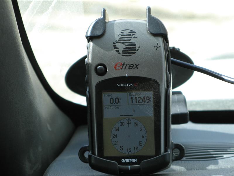
You would not BELIEVE the connection I'm able to post this report with, but I'm in a backcountry campground near Big Pine, CA, but my Moto Q phone is able to get a data connection, so from my tablet PC I can use the Q as a modem and so forth. Isn't technology wonderful?

Anyway, no time for longer report, since it's time to sit in the stream nearby and wash off the day's dust, but enjoy these pics for what it's worth.

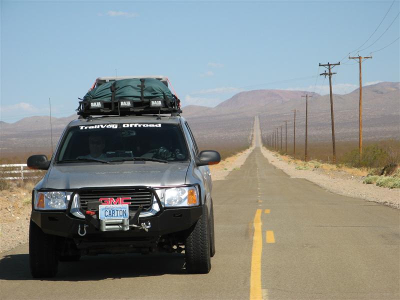
Near Jawbone Station sort of near Lake Isabella, CA. Yes, you CAN stop in the middle of the road and take pictures. It's that deserted.

Image

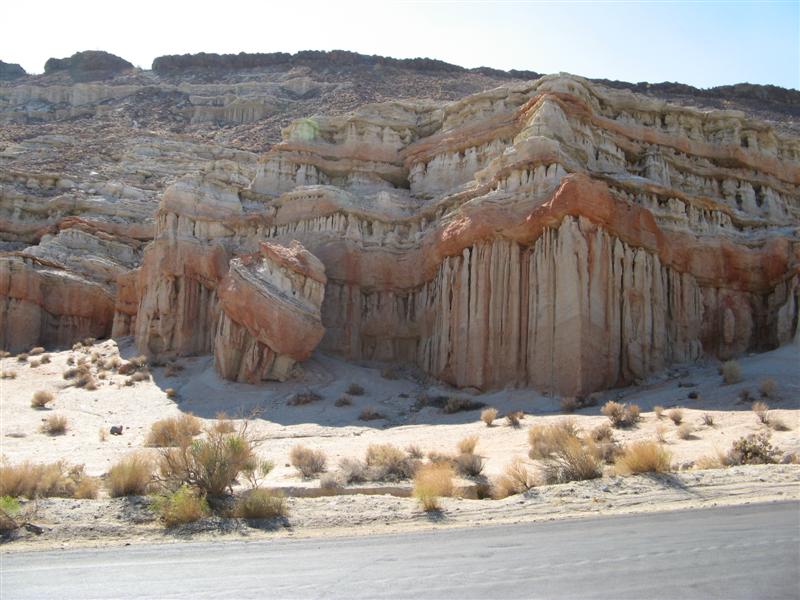
Red Rock Canyon State Park. Was going to camp here Sunday night, first night of the trip, but it was 92 degrees at 6PM so we said bah. And moved on.
Image

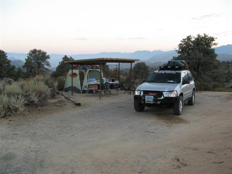
Ended up at Walker Pass campground just off a road, but traffic wasn't too bad. Cooled off to 55 degrees at night. Stars like you couldn't believe.

Image

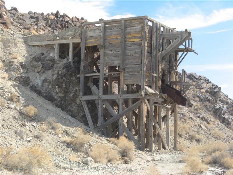
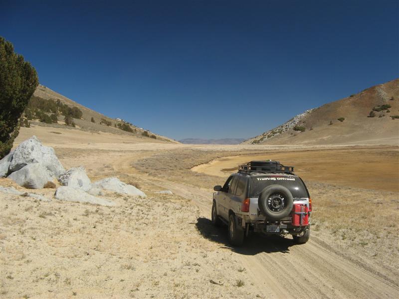
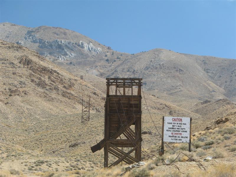
Cerro Gordo Mine road into Death Valley

Image

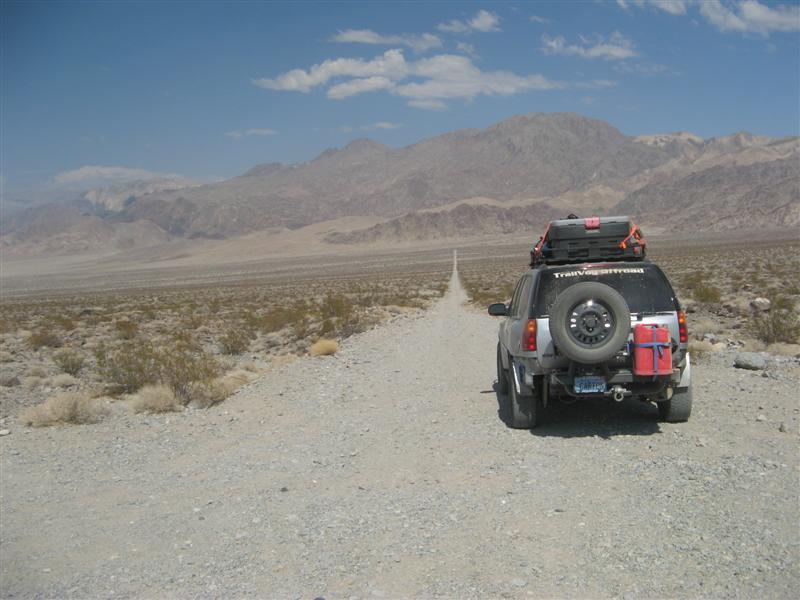
Lippincott Mine Road - nasty trail into the Racetrack area of Death Valley (Google for it)

Image

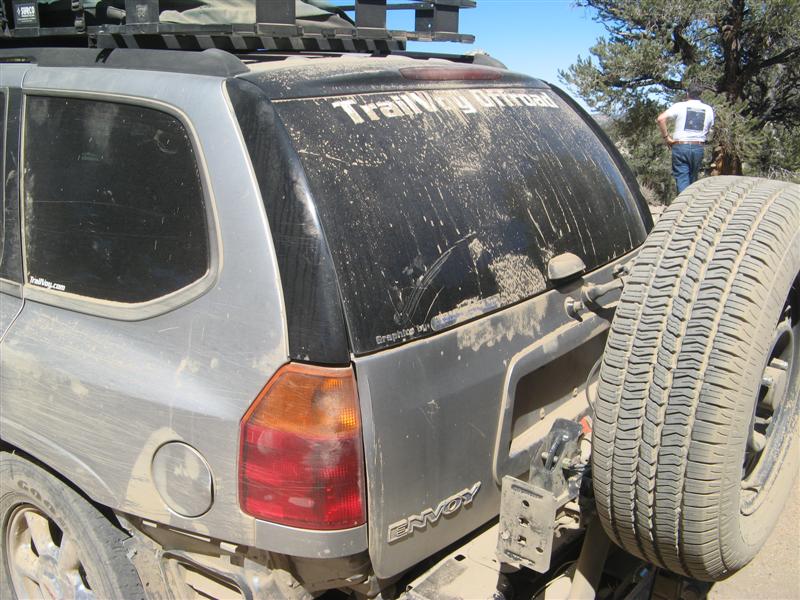
Lippincott Mine Road - yes we survived it, but my Airlift 1000 bags did not. I neglected to relieve the pressure as the temp went from 70 to 115. More data later on getting replacement Airlift bags overnighted into the nearest town that I could change them out at.
Image

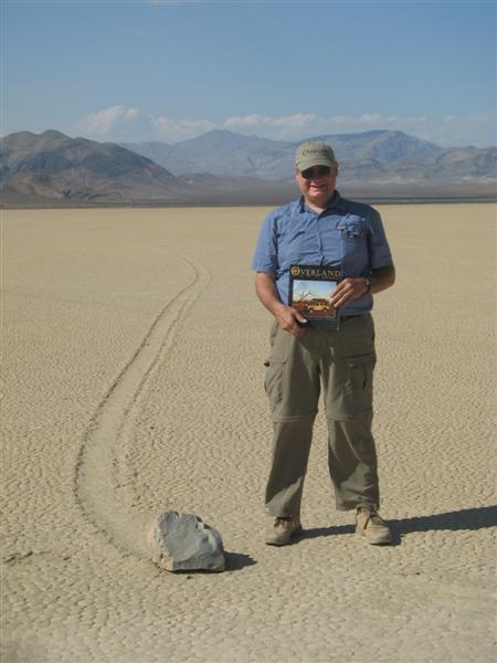
Here's me and the Spring copy of the Overland Journal that has a report on visiting the moving rocks on the Racetrack. We found the EXACT rock in one of their pictures and took a pic like this with the magazine open to the picture of THAT rock!

Image

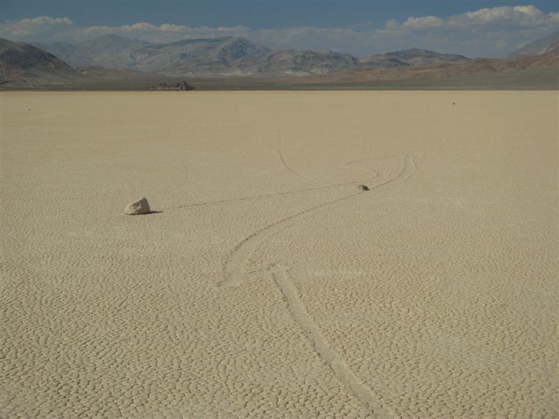
What the mud tracks look like left by the rocks.

Image

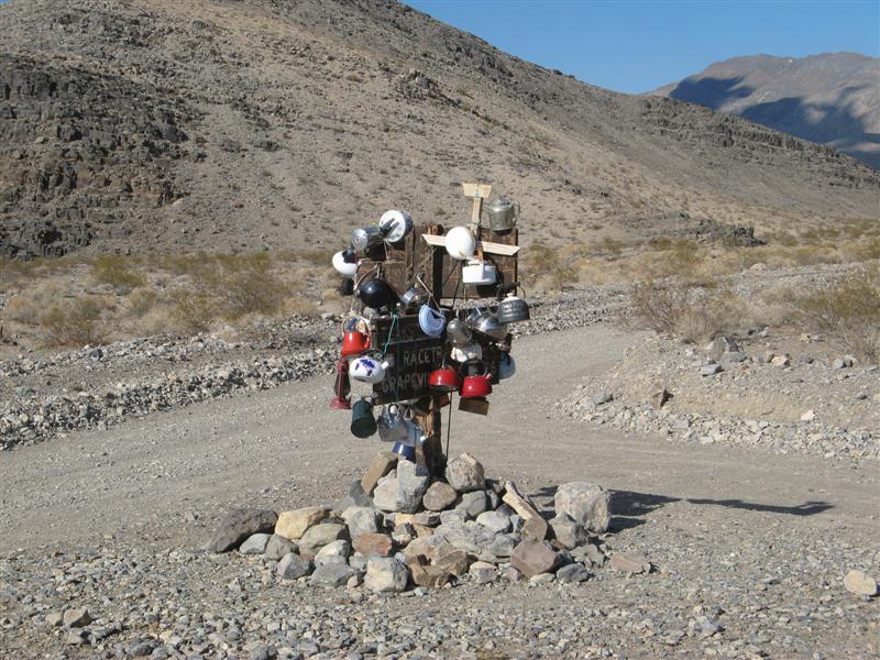
Teakettle Junction - Death Valley

Image

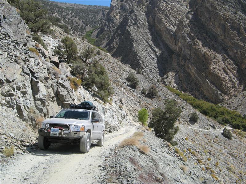
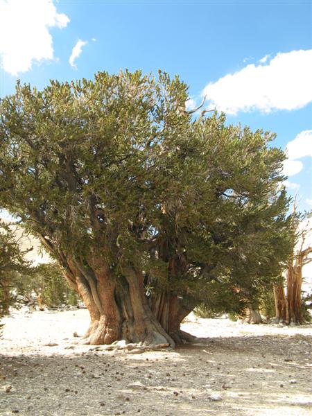
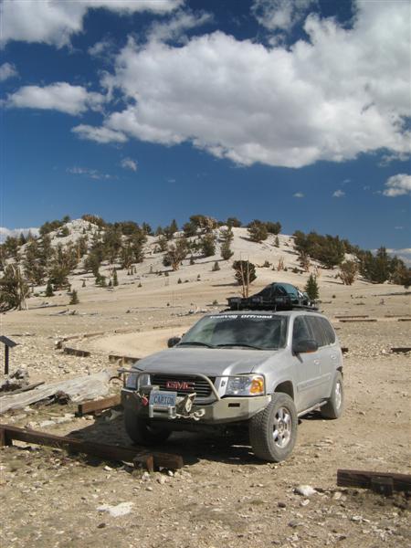
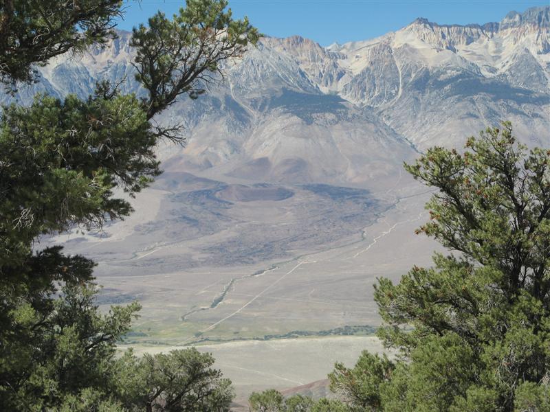
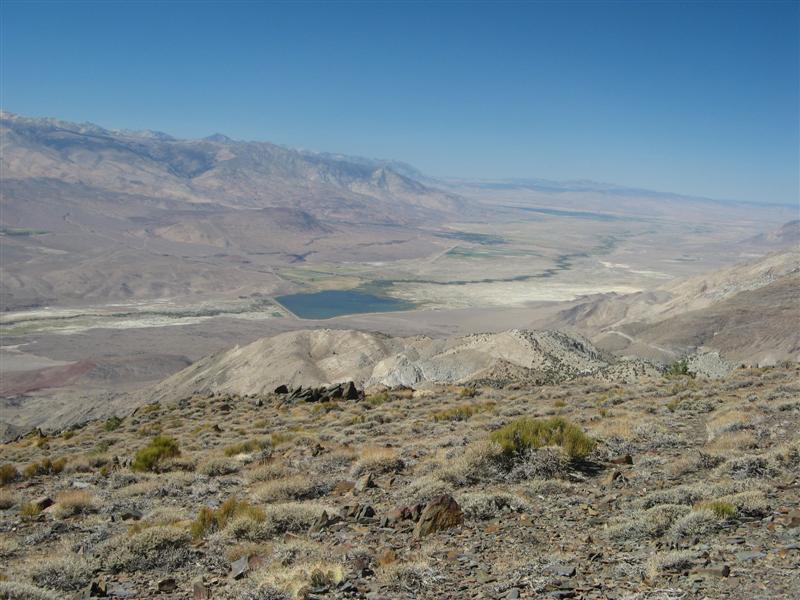
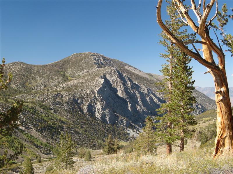
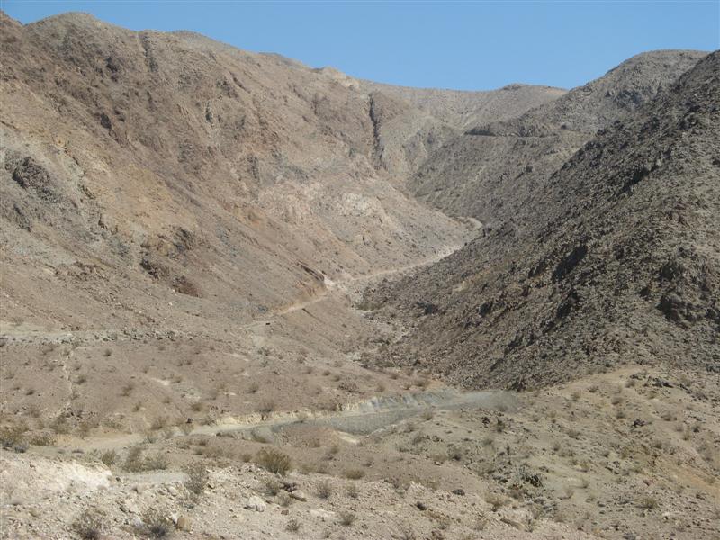
Silver Canyon from Bishop, CA to the Ancient Bristlecone Pine Forest.
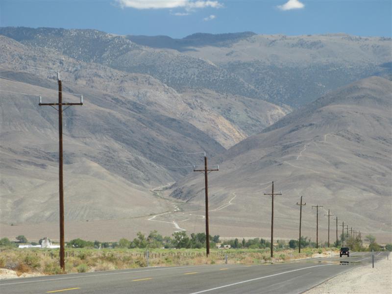
Image

More Silver Canyon

Image
User avatar
The Roadie
Founder
 
Posts: 5011
Joined: Mon Sep 07, 2009 11:29 pm
Location: CA, Vista, San Diego County
Name: Bill Carton
Vehicle Year: 2004
Vehicle: GMC Envoy
DriveTrain: 4WD w/ G80
Rank: Expedition Guide

by The Roadie » Sat Aug 25, 2012 1:27 am

Highest altitude so far this trip:

Image

Patriarch tree - the largest (though not the oldest) Bristlecone Pine. Others are up to 4000 years old. Oldest living things.

Image

Parked at the forest at 11,000 feet.

Image

You get a bit dusty offroad.

Image

Looking Westward towards the eastern flank of the Sierra Nevadas - the next destination:

Image

Papoose Flat with interesting rock formations. Excitement here was an F18 from Navy China Lake going overhead at 150 feet, 90 degree bank, in an air combat exercise with two other jets. Wow! Too surprising for picures!

Image

Looking north from 10,000 feet towards Bishop, CA (in the valley at 4000 feet):

Image

Some kind of mine loader remnants.

Image
User avatar
The Roadie
Founder
 
Posts: 5011
Joined: Mon Sep 07, 2009 11:29 pm
Location: CA, Vista, San Diego County
Name: Bill Carton
Vehicle Year: 2004
Vehicle: GMC Envoy
DriveTrain: 4WD w/ G80
Rank: Expedition Guide

by The Roadie » Sat Aug 25, 2012 1:28 am

Wheeler Ridge goes to 11,000 feet from the Owens Valley floor of about 4000 feet, just south of Tom's Place, CA and west of the larger town of Bishop. This was the last of my four main expedition objectives, which I'm posting a bit out of order because this was the first video I converted.

Image

It's quite an investment of time to crawl on sand and gravel on a shelf road around the ridge until you get to the final 1000 foot rocky climb to the top. This year, the unnamed lake at the top was dry, a minor disappointment. Only two of my trail guide books mention this run, which is right at the limit of what I'd attempt solo. Even at that, my buddy Paul who rode shotgun exercised his veto power at an increasingly tough overlook spur at the very lip of the ridge. So I'll convince somebody to come back here with me someday.

The high country:

Image

New used BFG KO's bought for $90 to make sure I had good rubber after I had to discard one of my Silent Armors for an unrepairable puncture. A technical trip report on the tire and other problems will be posted later in the Offroad forum.

Image

Surrounding peaks:

Image

Looking down 1000 feet to the Rock Creek Canyon, where people camp who can only drive on pavement, poor sods.

Image

The start of the climb:

Image

Video link: http://www.youtube.com/watch?v=fXU2Qtb1Nok

Dry lake in the saddle at the ridge, 10,800 feet.

Image

Paul says this is the end of the trail, i agreed, and I had to back up 1/10 mile. Easy.

Image

Another peak on the way back:

Image

Nice lake at the end of a spur at lower elevation

Image

Image
User avatar
The Roadie
Founder
 
Posts: 5011
Joined: Mon Sep 07, 2009 11:29 pm
Location: CA, Vista, San Diego County
Name: Bill Carton
Vehicle Year: 2004
Vehicle: GMC Envoy
DriveTrain: 4WD w/ G80
Rank: Expedition Guide


Return to Pacific U.S.