Anyway, without much knowledge about any sort of trails (only rumours really) we all set off for old Rt. 61. Rt 61 fell victim to the coal fires and the state built another roadway to go around it, closing old Rt. 61 off. However, adventurers made their way back to the road way and provided some interesting art work. After spending time on 61, an adjacent trail leads up an elevation and down into Centraila - over what used to be a nice rolling hill. However, the fires, bootleg mining, and erosion have made it into a rocky decent with a few drop and climb area(my luck, I didn't get many photographs of this). However, the area is visit worthy, especially if you're passing through the area. There are only two houses left and the entire town is just filled with scary, distant signs of life.
When traveling, try to use Google Maps or a map pack that has satellite imagery so you can base where you are located by visual landmarks - a lot of roadways are not marked or hidden from plain view.
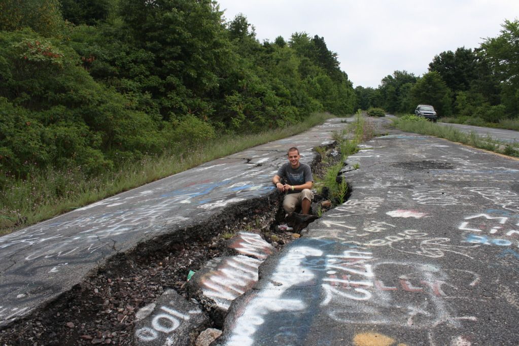
Beginning of the damage to Rt 61:
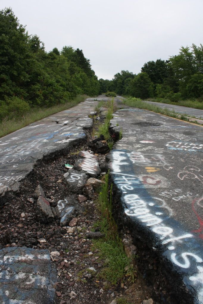
Major crack:
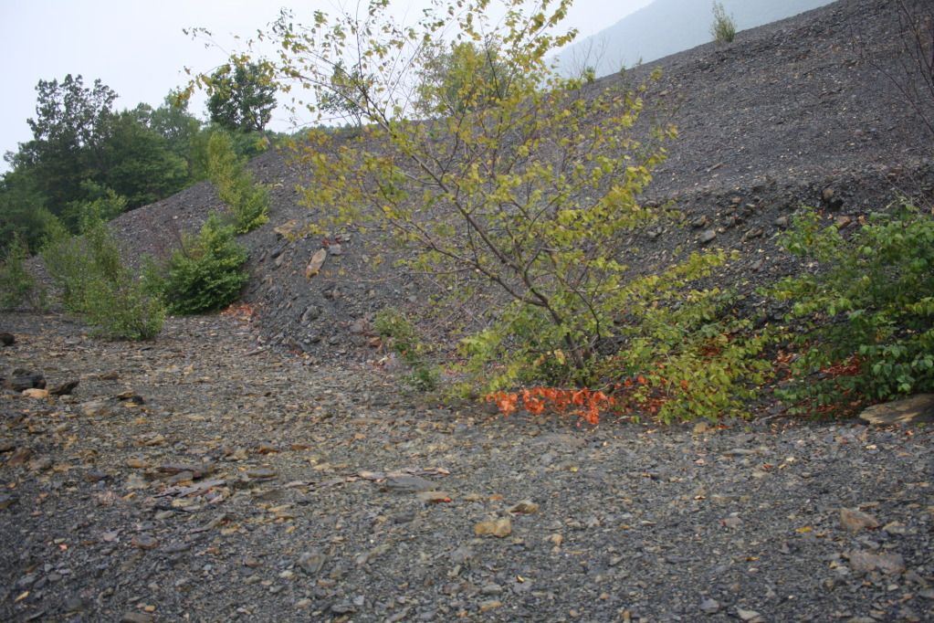
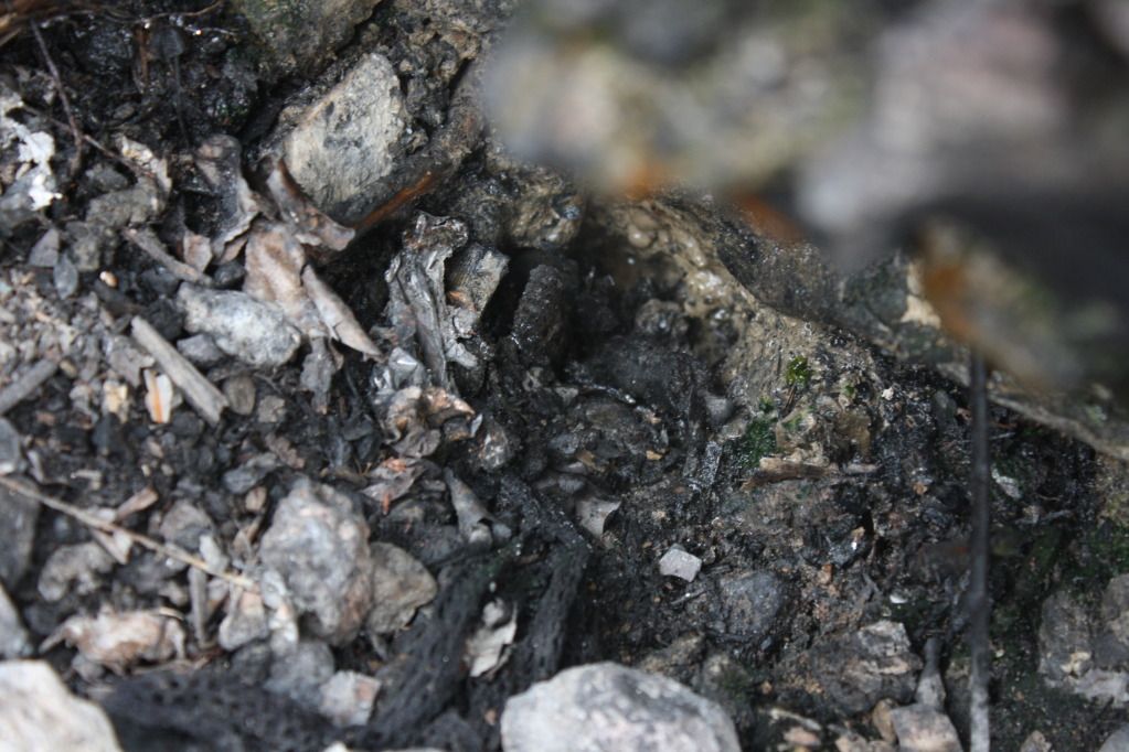
Source of extreme heat by the major crack on 61:
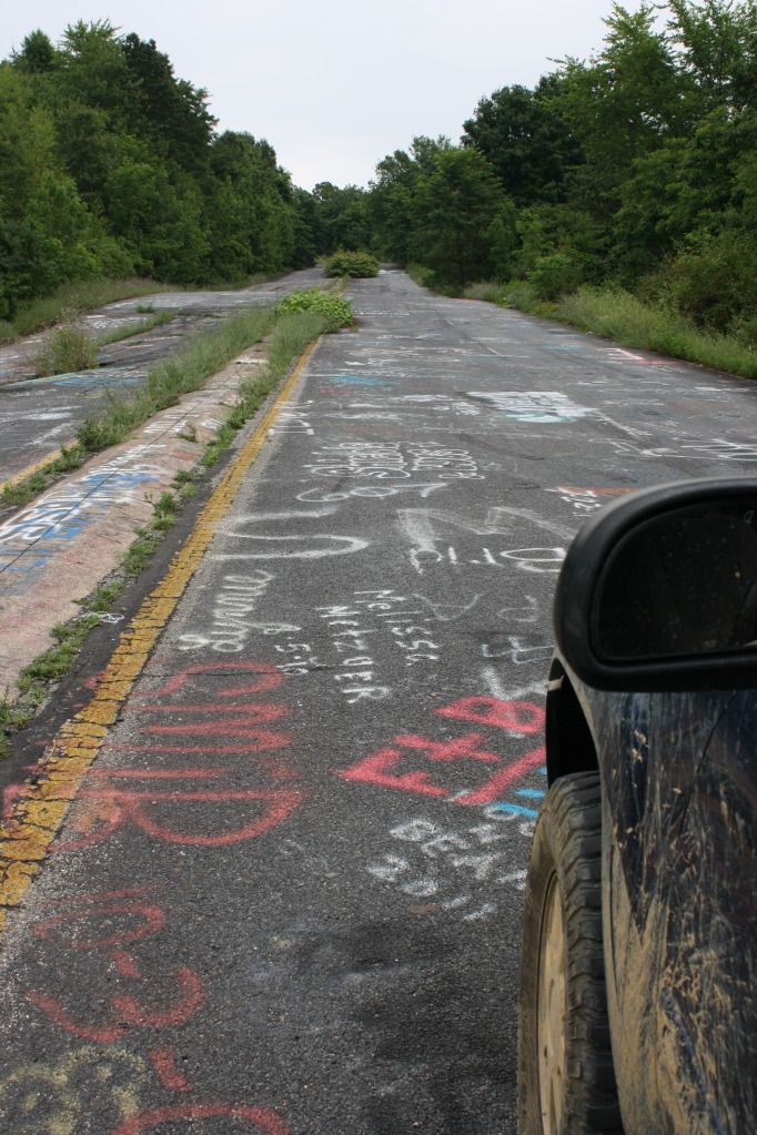
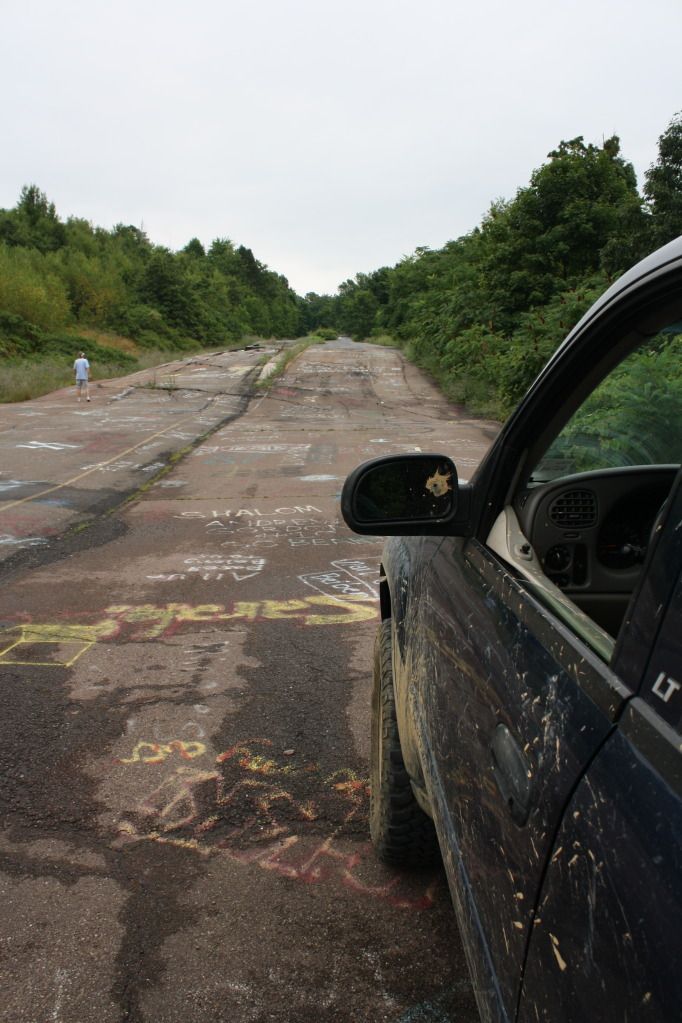
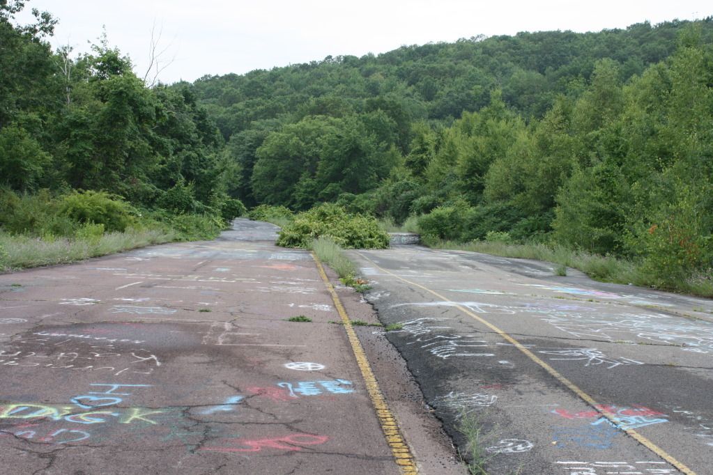
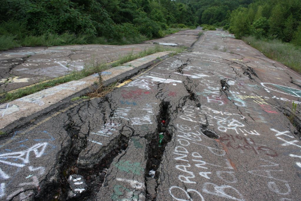
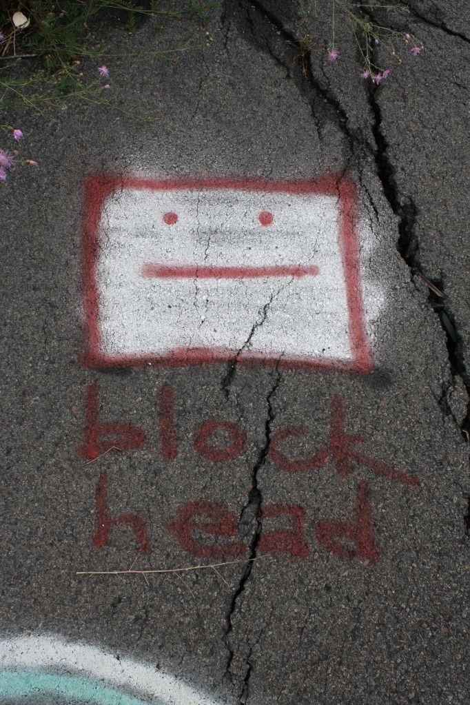
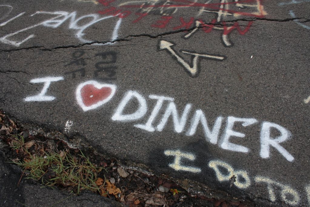
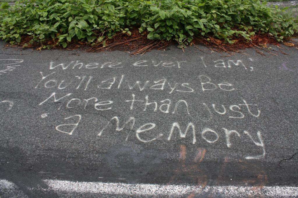
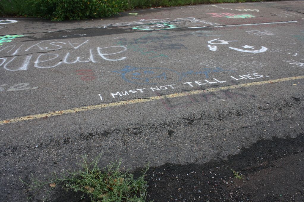
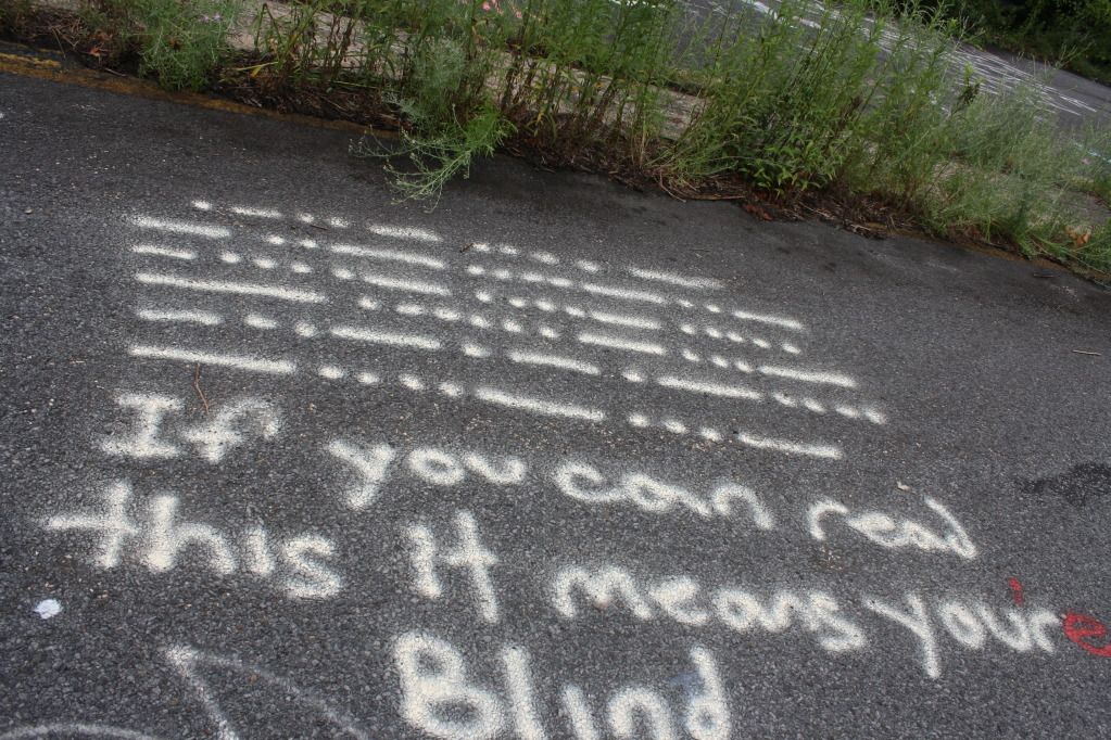
Some "artwork and inspiration:"
Decode?
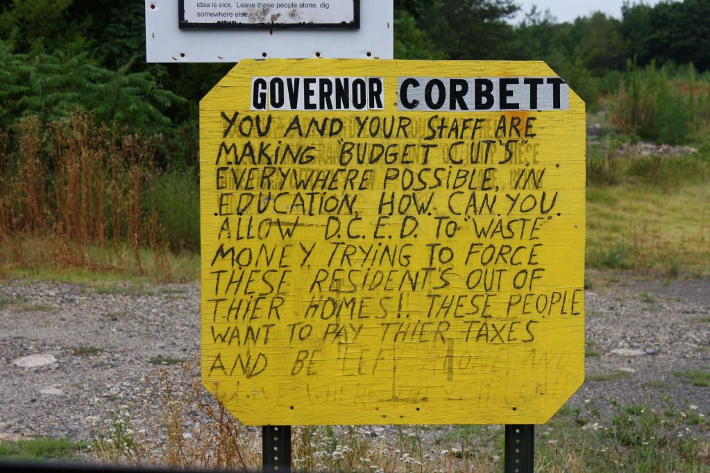
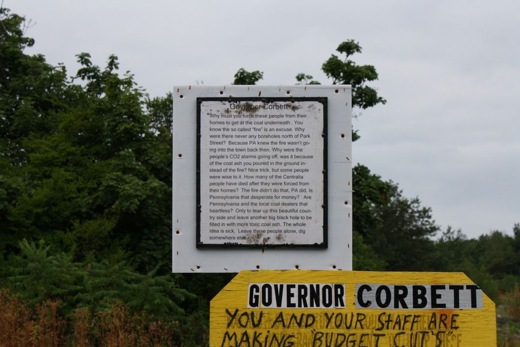
This whole thing has a lot of people fired up(no pun intended):
Wind turbines; view from the top of what used to be the big hill:
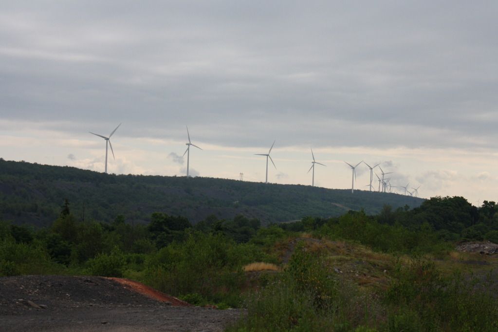
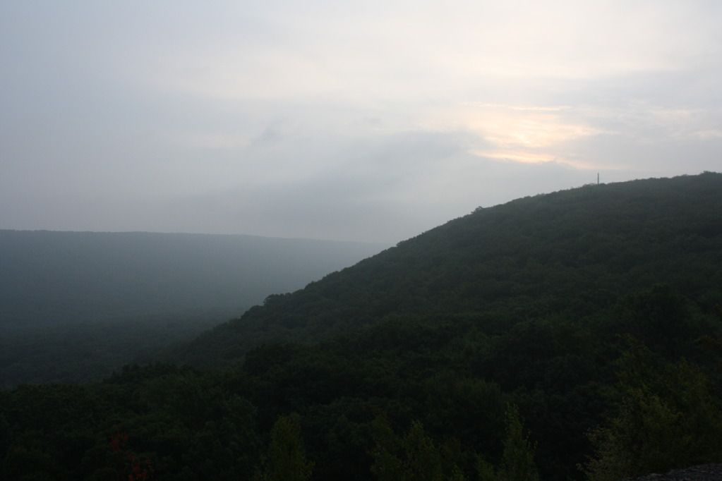
This part of the state is truly amazing:
Exposure on Rt 54 (towards Centraila):
If I had more time I would have spent it trying to show the sheer size and depth of this area; it is wide open to the public and just drops off into nothing. Aside from the trucks roaring back and forth above on 54, you really feel alone out here.