Offroad Trailblazers and Envoys

COMPLETED: Ranchita - July 2008

Trips/trails in the western coast of the U.S. (loosely follows the Pacific Time Zone)
Forum rules
Please label new threads with the following to indicate the type of thread:

COMPLETED: a completed trip
IN PROGRESS: a trip currently in progress
PLANNING: researching or recruiting

Please feel free to utilize the trail rating article.

by The Roadie » Sat Aug 25, 2012 1:53 am

This place needs some excitement, I figured - so I went out and made some. Always wanted to poke about near Ranchita, a tiny wide spot in the road at 3000 feet elevation on the way down to the desert. There are very interesting looking trails on the topo maps, but most of them turned out to be on private property. One of the open ones was Buck Canyon, on a small section of BLM land at the end of a bunch of private land. But the road was a right of way, and the property owners had to allow access. But I figure the "PVT" addition to the street sign for "Old Mine Road" would keep out all but the locals who knew better, or explorers like me with the topo maps.

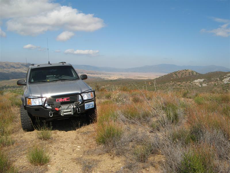
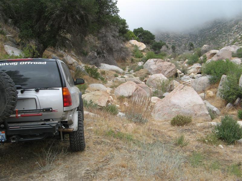
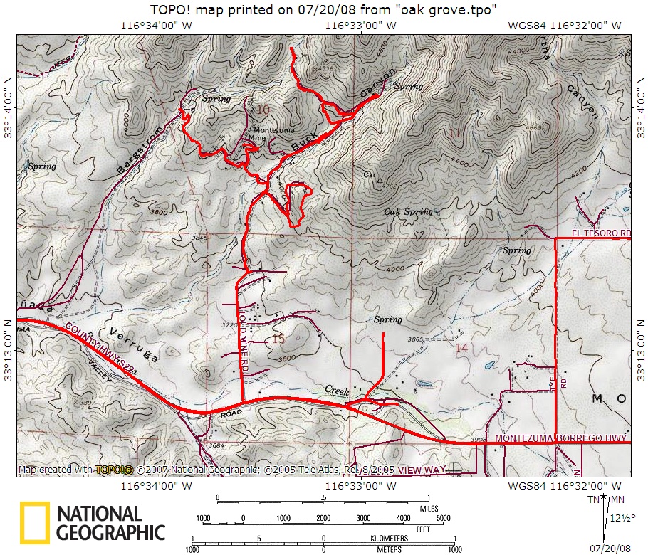
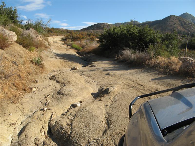
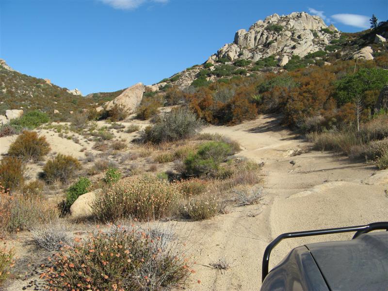
It was outstanding. Narrow in places, and brushy, and almost no signs at all of significant traffic. I might guess only a dozen vehicles a year come up here? No tracks to speak of and overgrown centers where the rain encouraged it.

Image

Nice grove.

Image

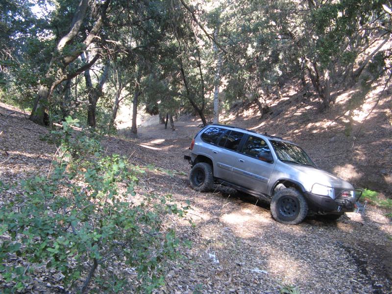
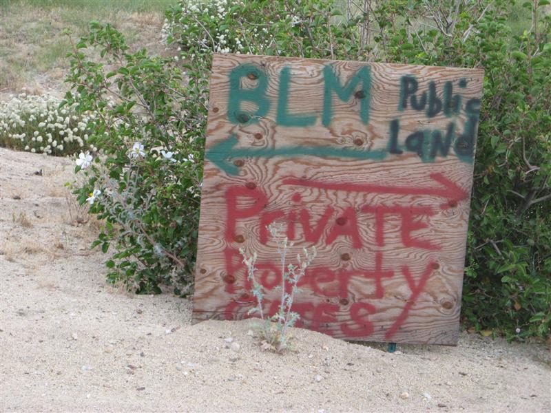
One fire ring - BLM allows free camping, and this remote and secluded site didn't show evidence of the possible yahoos that sometimes infest remote and secluded sites with beer cans to clean up, shotgun shells, brass casings, trash, etc. A clean, underutilized and remote site is worth keeping track of.

Image

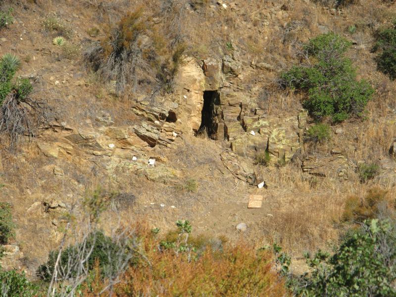
Outside the canyon, there's a trail to the Montezuma Mine, mentioned on gorp.com as follows:

...it dead-ends high on the mountain at a caved-in gold mine workings, Montezuma Mine. California Dept. of Mines and Geology (CDMG) Report #3 offers this on the Montezuma (Rice) Mine district:

Gold-bearing deposits in the district consist of northeast- trending quartz veins in metamorphic rocks that consist mainly of schist, and hybrid rocks composed of schist and quartz diorite. The deposits probably were prospected first in the 1890s by the Rice brothers of Warner Springs.
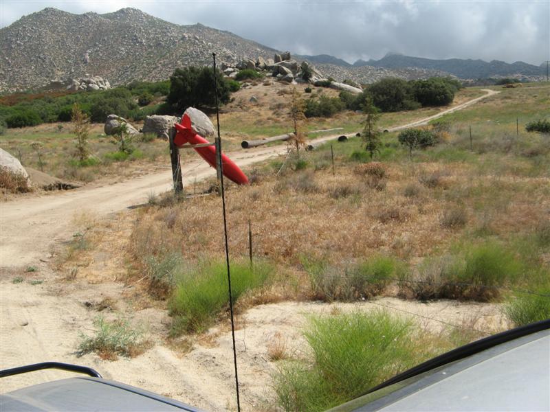
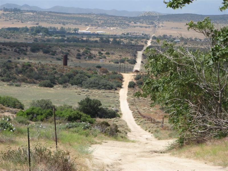
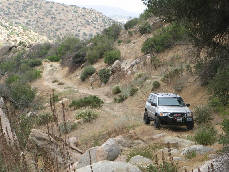
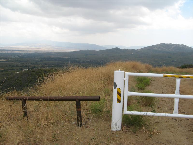
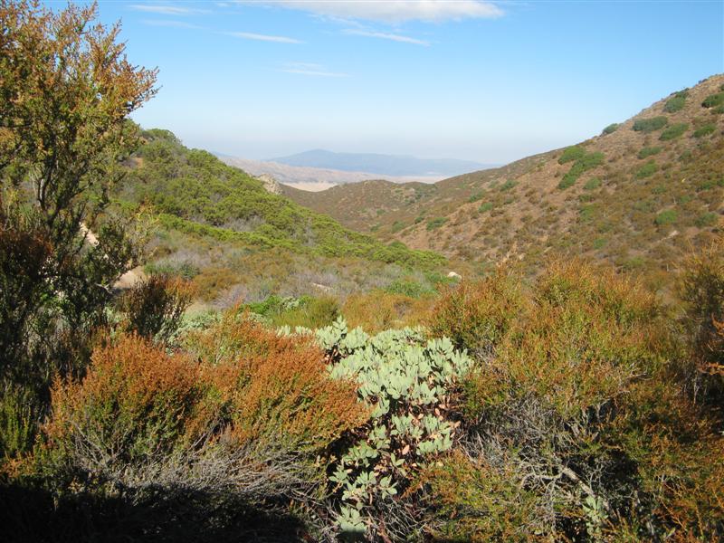
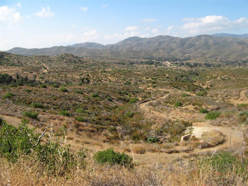
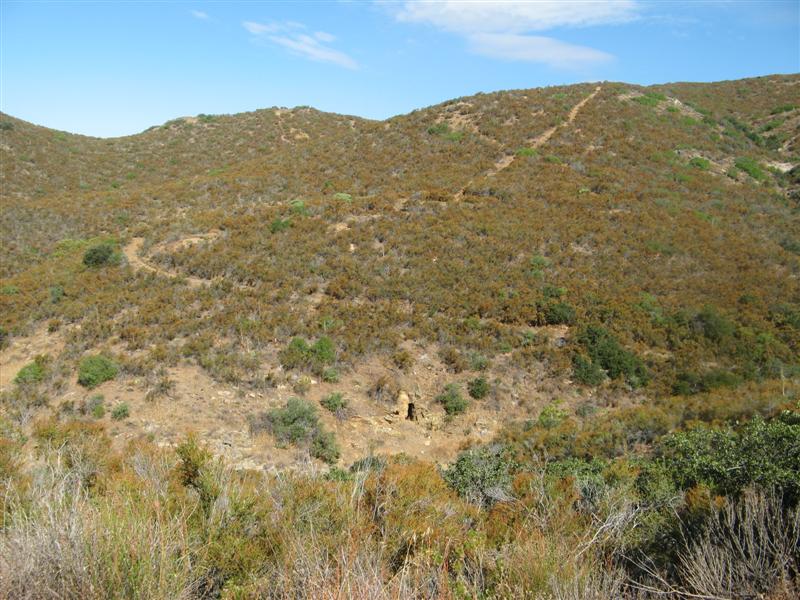

Image

View down-valley

Image

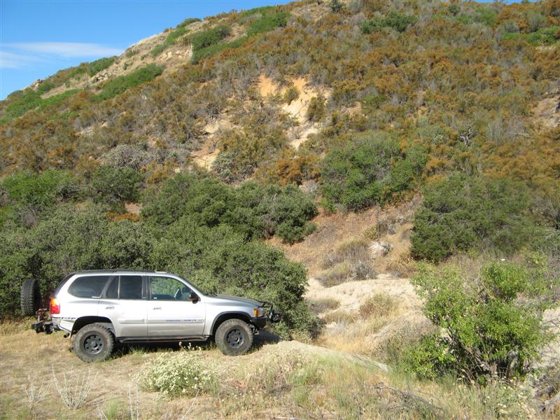
Progress stopped by this gulley
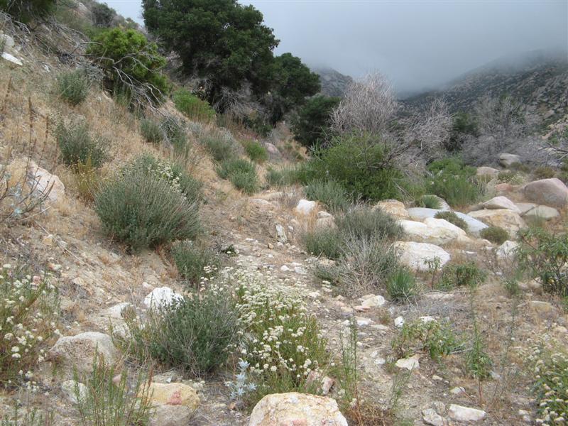
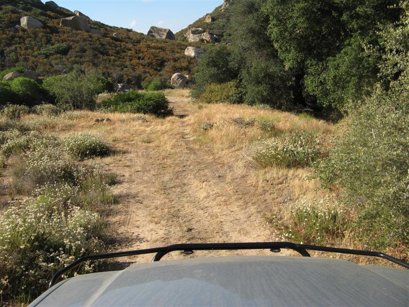
Image

Grass on the trail

Image

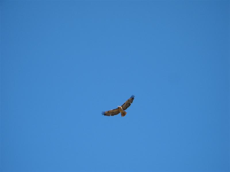
Mr. Hawk about 30 feet up
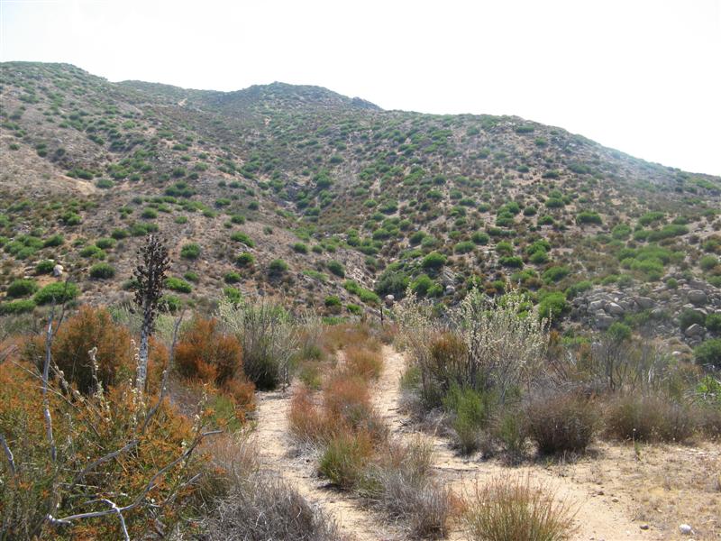
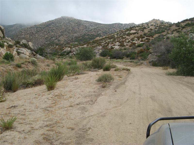
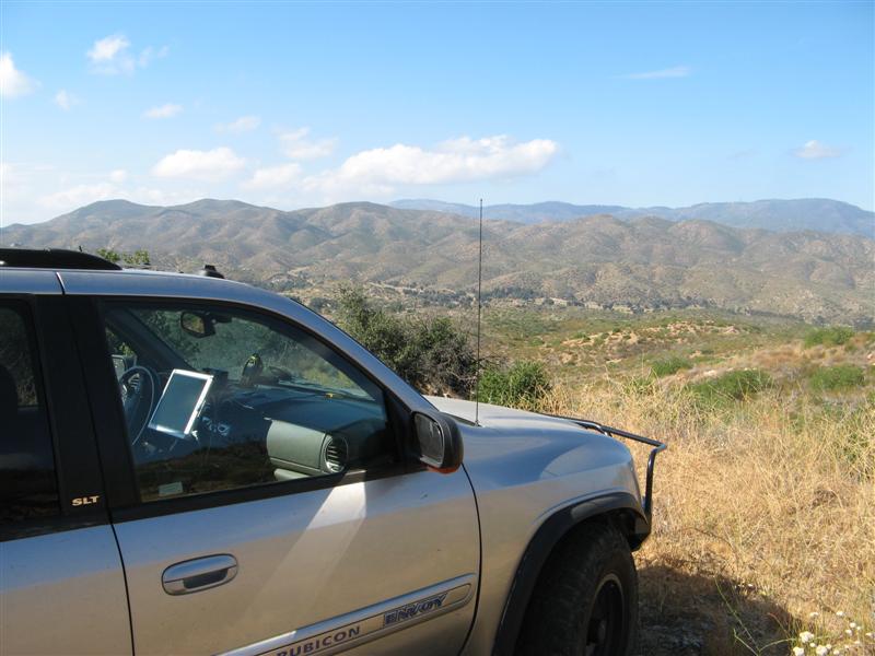
Image

More trail

Image

More grass on the trail

Image

Mine entrance

Image

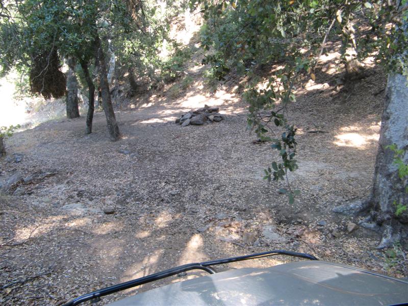
More trail beyond the mine.

Image

More to come......
User avatar
The Roadie
Founder
 
Posts: 5011
Joined: Mon Sep 07, 2009 11:29 pm
Location: CA, Vista, San Diego County
Name: Bill Carton
Vehicle Year: 2004
Vehicle: GMC Envoy
DriveTrain: 4WD w/ G80
Rank: Expedition Guide

by The Roadie » Sat Aug 25, 2012 1:54 am

What a day. Clouds held it to 85 degrees from the typical 95.

Image

More growth in the trail.

Image

Back to the edge of civilization. Odd boundary marker.

Image

The way back to the main road

Image

Up a nearby valley (Cherry Canyon) also hinted at by the topo maps as having a Jeep trail next to the creek. Property owners want to make sure you know which way is the BLM land.

Image

It starts out OK

Image

But gets extreme after a couple of miles. Sigh..... Note the clouds building at the top of the canyon

Image

Where I gave up.

Image

I saw tracks from an extreme rock crawler getting past this part.

Image

At this point I was getting concerned about the clouds looking like thunderstorm cells, and since I had a cell signal, checked Accuweather for the area:


...FLASH FLOOD WATCH REMAINS IN EFFECT UNTIL 9 PM PDT THIS
EVENING...

THE FLASH FLOOD WATCH CONTINUES FOR

* A PORTION OF SOUTHWEST CALIFORNIA...INCLUDING THE FOLLOWING
AREAS...APPLE AND LUCERNE VALLEYS...COACHELLA VALLEY...
RIVERSIDE COUNTY MOUNTAINS...SAN BERNARDINO COUNTY MOUNTAINS...
SAN DIEGO COUNTY DESERTS AND SAN DIEGO COUNTY MOUNTAINS.

* UNTIL 9 PM PDT THIS EVENING

* SLOW MOVING THUNDERSTORMS WITH HEAVY DOWNPOURS ARE EXPECTED
TODAY. THE POTENTIAL FOR FLASH FLOODING IN THE AFTERNOON AND
EVENING EVENING IS MODERATE. PEOPLE TRAVELING IN THE MOUNTAINS
AND DESERTS MAY ENCOUNTER VERY HEAVY RAIN...FLASH FLOODING...
AND POSSIBLE DEBRIS FLOWS IN THE BURN AREAS.

* NORMALLY DRY WASHES AND CREEK BEDS CAN QUICKLY BECOME INUNDATED
WITH RAPIDLY RISING WATER AND SHOULD BE AVOIDED.


Yep - time to leave the canyons for some nice safe shelf roads elsewhere

Nice pile of rocks on the way out.

Image

More hard sandy trails

Image

Grrrrr. National Forest web site said this road was supposed to be open. Wasted 8 miles driving to get to this gate that should have been a short cut to the pavement. Actually, it wasn't at all a waste because I got to see a bunch of unique terrain, and as the saying goes: A content person is one who can enjoy the scenery on a detour.

Image

Videos still baking. I'll call the Cleveland National Forest supervisor's office about the gate issue Monday. Seems they do this to me about once a year. Their web site is supposed to be updated with closures for rain, fire, resource protection - etc. This looks like a ranger's mistake.
User avatar
The Roadie
Founder
 
Posts: 5011
Joined: Mon Sep 07, 2009 11:29 pm
Location: CA, Vista, San Diego County
Name: Bill Carton
Vehicle Year: 2004
Vehicle: GMC Envoy
DriveTrain: 4WD w/ G80
Rank: Expedition Guide

by The Roadie » Sat Aug 25, 2012 1:55 am

Video's up now: http://www.youtube.com/watch?v=Xo1OVerqIU8

You would have loved this. Yes - I did some up near Indian Flats, which is northwest of Warner Springs and rt 79, but mostly I was poking about north of S22, just west of the Ranchita Store. South of S22 has some very tight brushy trails, one of them the historic Grapevine Canyon trail that connects to the difficult Jasper Trail and goes diagonally to rt 78. And the Culp Valley trail. I know all those. The ones north of Montezuma Valley Road were more of a mystery. I have a foreign exchange student I was supposed to take to Borrego today, but he go sick overnight and couldn't go. So I came up with this plan on no notice to do SOMETHING useful with a day off and a full tank of gas.

Image
User avatar
The Roadie
Founder
 
Posts: 5011
Joined: Mon Sep 07, 2009 11:29 pm
Location: CA, Vista, San Diego County
Name: Bill Carton
Vehicle Year: 2004
Vehicle: GMC Envoy
DriveTrain: 4WD w/ G80
Rank: Expedition Guide

by SallySpafford » Wed Apr 03, 2024 4:11 am

I'm sorry to hear about your student being sick. It may have been because of the workload, he is suffering from burnout. I want to share with him dissertation proposal writing service that can make the process of writing assignments easier. I hope it will help him.
SallySpafford
Newbie
 
Posts: 2
Joined: Wed Apr 03, 2024 3:58 am
Name: Sally Spafford
Vehicle Year: 2005
Vehicle: GMC Envoy
DriveTrain: 4WD


Return to Pacific U.S.

cron