Offroad Trailblazers and Envoys

COMPLETED: Borrego ares - April 2008

Trips/trails in the western coast of the U.S. (loosely follows the Pacific Time Zone)
Forum rules
Please label new threads with the following to indicate the type of thread:

COMPLETED: a completed trip
IN PROGRESS: a trip currently in progress
PLANNING: researching or recruiting

Please feel free to utilize the trail rating article.

by The Roadie » Sat Aug 25, 2012 1:50 am

Another one in the continuing series of "Offroad with the Roadie". This is about the end of the desert wheeling season, since it's almost getting to 90 degrees in the daytime. But nighttime is still mid 50's, so the camping is outstanding. Went out with Mrs. Roadie and a former co-worker and his daughter. They had a Suburban, so couldn't go on all the tight trails I like, but they rode along for those parts.

Enjoy:

Lunch in the shadow of the "Leaning Tower of Mud". Hope I"m luckier than Alekg and it doesn't fall over on me.

Image

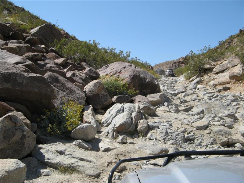
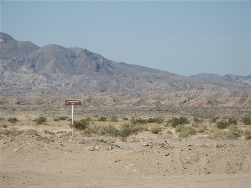
The elusive Pumpkin Patch Trail.
Image

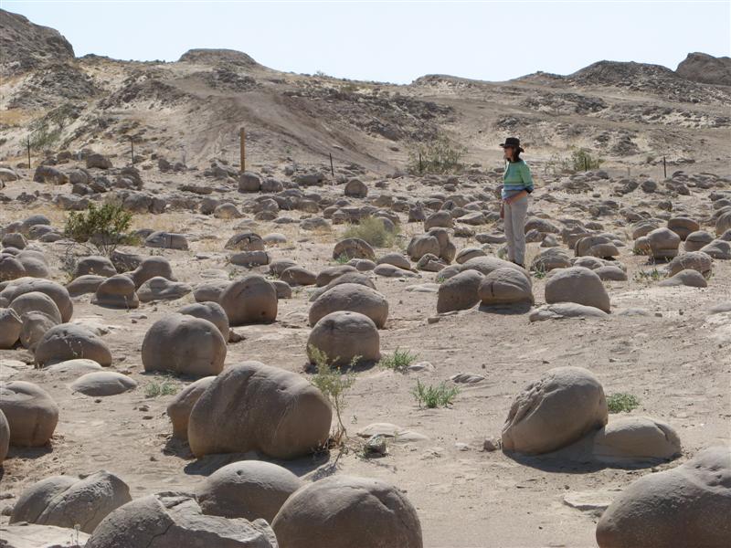
The Pumpkin Patch - a rare example of sandstone concretions formed underground by water action with a cementing agent, then exposed to the surface by wind removing the sand.
Image

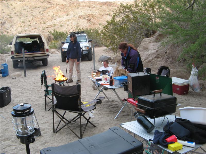
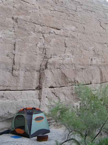
A luxurious campsite.
Image

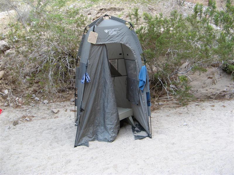
The best backcountry luxury. A PETT toilet.
Image

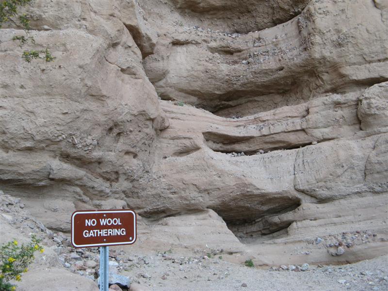
A modified warning sign
Image

We trust a lot that there will not be an earthquake while we sleep.
Image

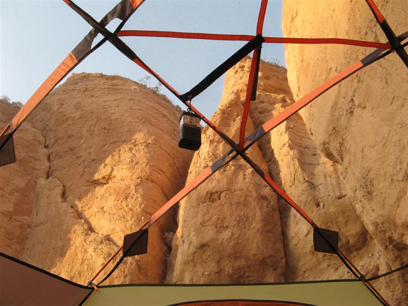
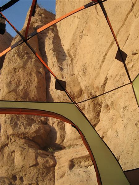
The view through our mesh roof at sunrise. This is worth the whole trip. This is in Hawk Canyon, and the hawks, owls, swallows, swifts, hummingbirds prove there's a lot of life in what could be a miserable environment.
Image


Image

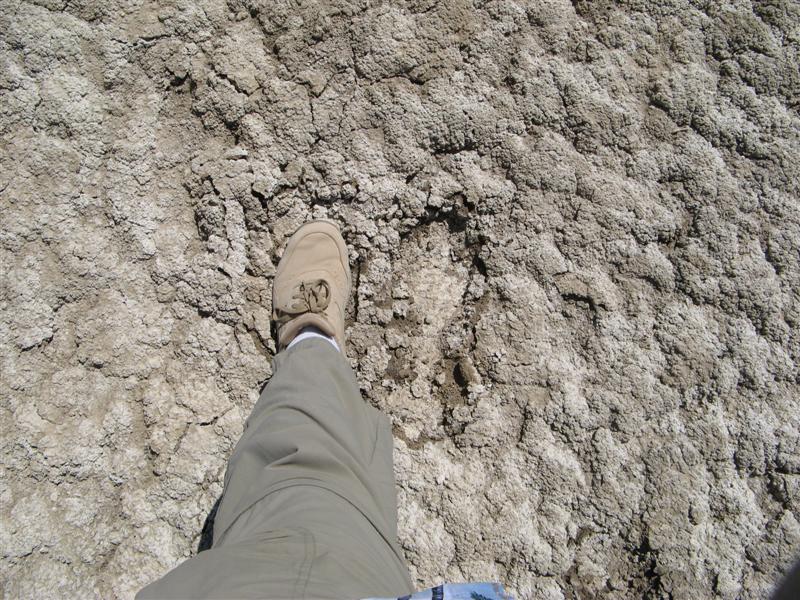
Back to the (now dry) mud pit called the Borrego Sink.
Image
User avatar
The Roadie
Founder
 
Posts: 5011
Joined: Mon Sep 07, 2009 11:29 pm
Location: CA, Vista, San Diego County
Name: Bill Carton
Vehicle Year: 2004
Vehicle: GMC Envoy
DriveTrain: 4WD w/ G80
Rank: Expedition Guide

by The Roadie » Sat Aug 25, 2012 1:50 am

Spongy surface left after it dried out. Will bake to a hard surface later in the summer.
Image

Back to the extreme Coyote Canyon "bypass road". I've posted about this before, but the Park just sent in a rock crusher to take off the sharp parts of the mose extreme obstacles and make the trip safer for the rangers who have to patrol the area 3-4 times a day. If it was a 6 out of 10 trail before, they didn't improve it that much, and now it's only a 5. Still at the limit of trailvoy suspensions with 31-33 tires and max BDS lifts.
Image

Image

Image

Image

Image

Image

Image

Image

Image
User avatar
The Roadie
Founder
 
Posts: 5011
Joined: Mon Sep 07, 2009 11:29 pm
Location: CA, Vista, San Diego County
Name: Bill Carton
Vehicle Year: 2004
Vehicle: GMC Envoy
DriveTrain: 4WD w/ G80
Rank: Expedition Guide

by The Roadie » Sat Aug 25, 2012 1:51 am

More rocks. Do not try this with stock suspension. I hit my frame a couple of times, but in its former condition, I'd take 8-10 slams, and have to pick my lines MUCH more carefully.

Image

Image

Image

Image

Start of the deep water crossing.
Image

Image

Bow wave
Image

Water line on the side. Probably 20" deep? Took a few ounces of water past the door gaskets. No surprises there.
Image
User avatar
The Roadie
Founder
 
Posts: 5011
Joined: Mon Sep 07, 2009 11:29 pm
Location: CA, Vista, San Diego County
Name: Bill Carton
Vehicle Year: 2004
Vehicle: GMC Envoy
DriveTrain: 4WD w/ G80
Rank: Expedition Guide


Return to Pacific U.S.

cron