Offroad Trailblazers and Envoys

COMPLETED: Otay Mountain area - Jan 2006

Trips/trails in the western coast of the U.S. (loosely follows the Pacific Time Zone)
Forum rules
Please label new threads with the following to indicate the type of thread:

COMPLETED: a completed trip
IN PROGRESS: a trip currently in progress
PLANNING: researching or recruiting

Please feel free to utilize the trail rating article.

by The Roadie » Sat Aug 25, 2012 12:26 am

Last weekend: couple of easy trails east of San Diego. Minnewawa Truck Trail (from Otay Lakes Road up the north approach to Otay Mountain. Ends at "Doghouse Junction" antenna farm.) and McCain Valley Road - excellent overlooks of Carrizo Canyon and the entire Anza Borrego desert region.

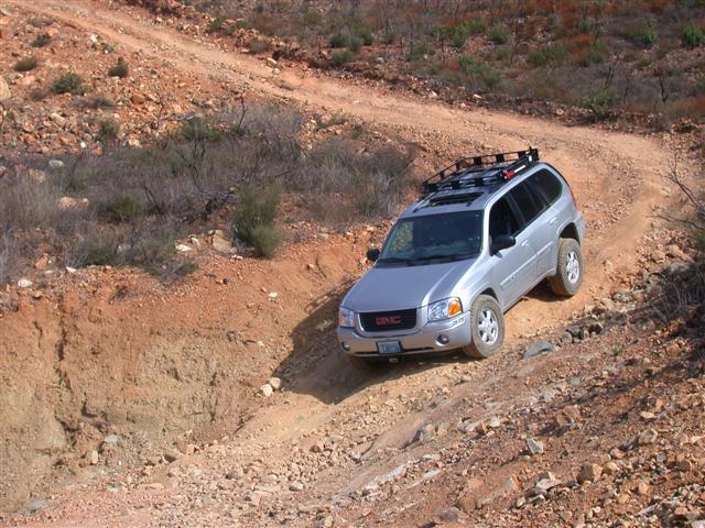
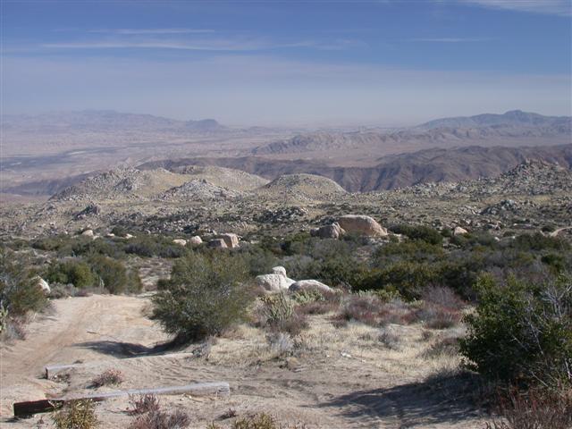
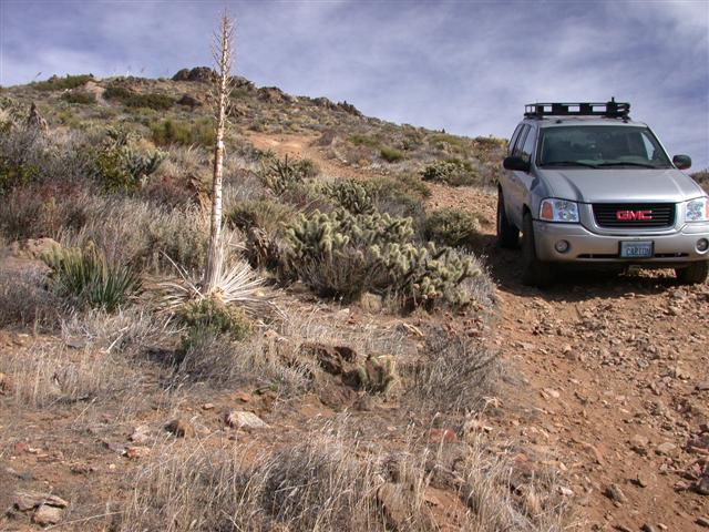
I discovered that a 30 degree slope is just at the limit of traction when the surface is dust mixed in with 2-6 inch broken rock shards. :yes:

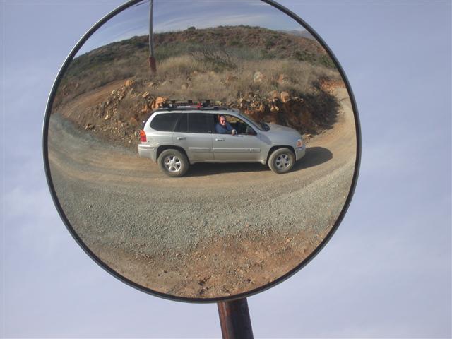
Note: this is *not* reflecto-porn:

Image

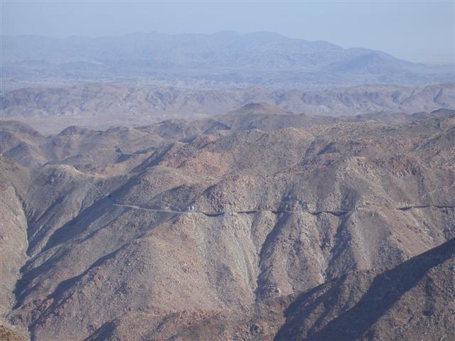
Yes, that's a railroad track attempting to cling to the canyon wall.

Image

Image

Image

Image

Image

Image

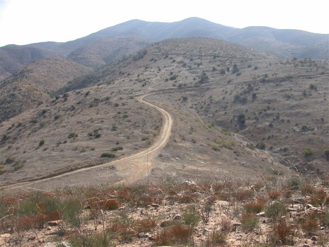
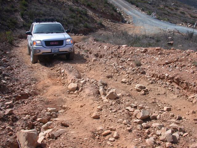
Time to get an inclinometer:

Image

Image
User avatar
The Roadie
Founder
 
Posts: 5011
Joined: Mon Sep 07, 2009 11:29 pm
Location: CA, Vista, San Diego County
Name: Bill Carton
Vehicle Year: 2004
Vehicle: GMC Envoy
DriveTrain: 4WD w/ G80
Rank: Expedition Guide

Return to Pacific U.S.