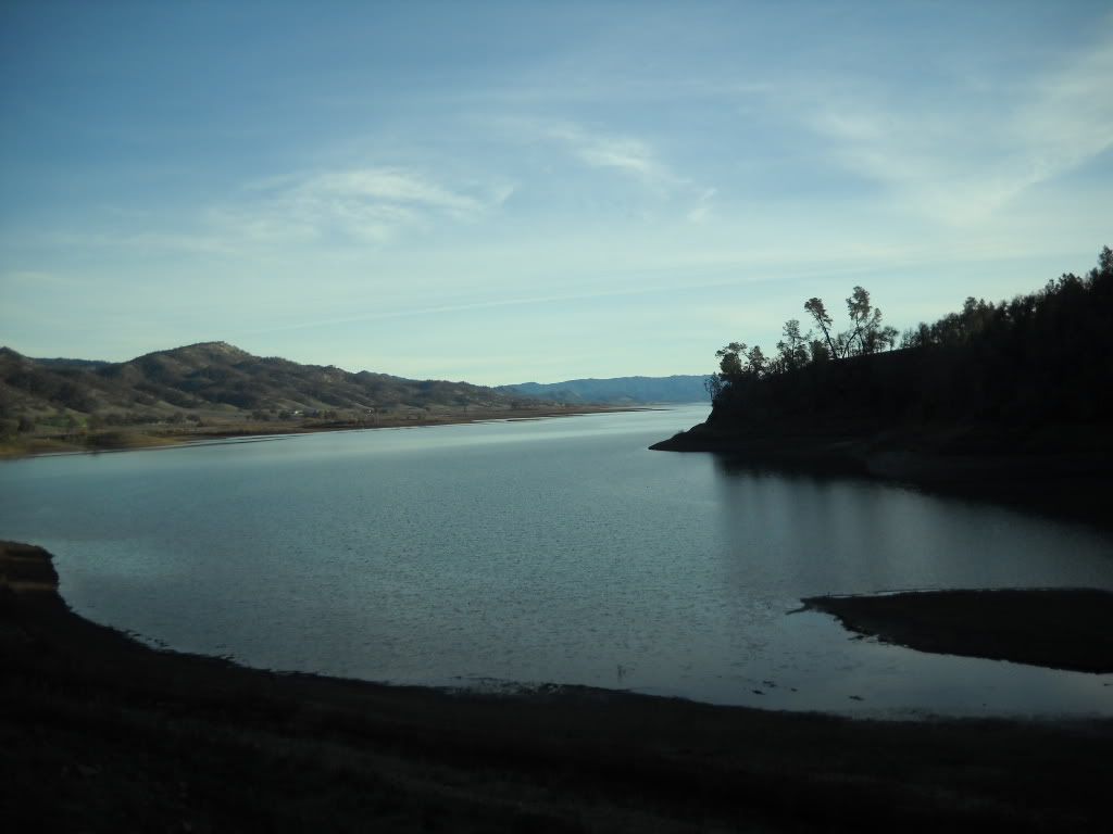
So this is located about an hour passed Lake Barryessa
It is known locally as just plain Knoxville, or the hell hole. It is BLM land and you can find maps on thier website.
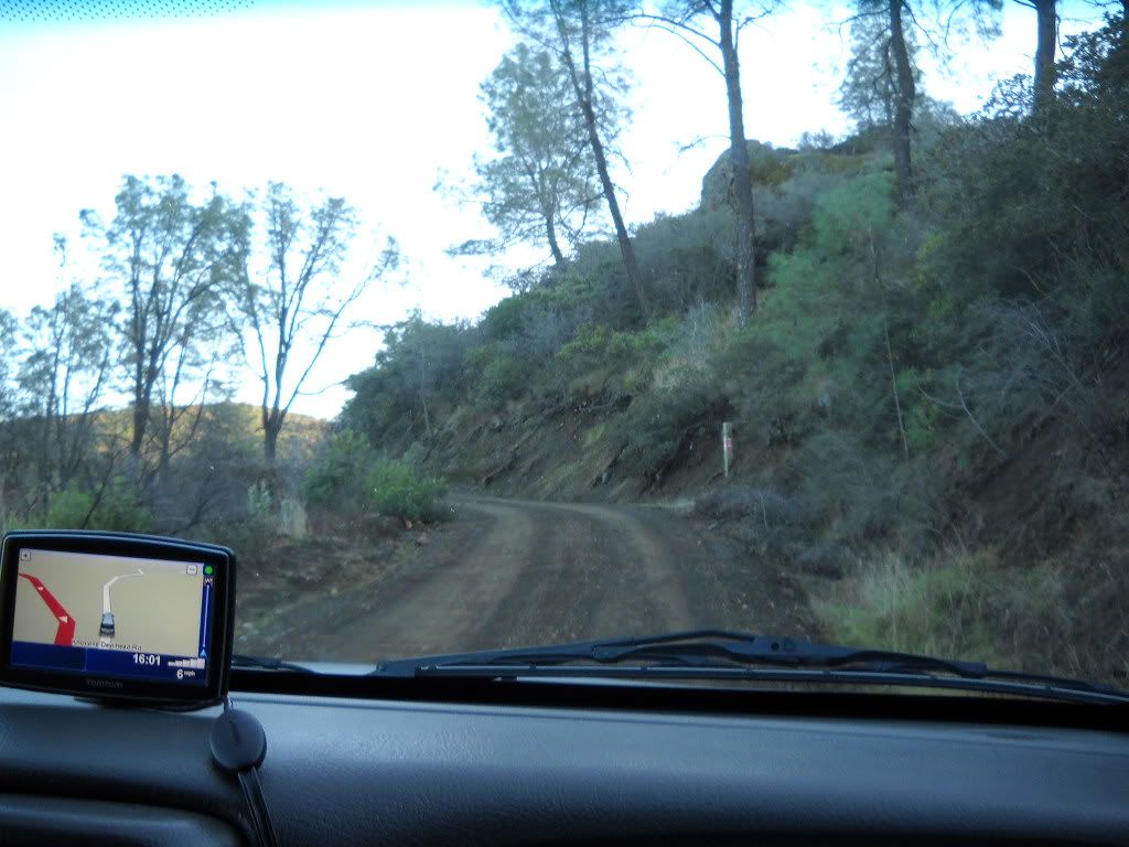
The entrance is off a paved road and turns straight into a one mile long hill that starts as stock 2x4 passable and the further up ou go the more you need(MT's, or 4x4)
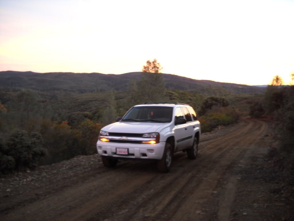
This trip I stuck to the main trail which is about a 10 mile loop and is only able to be completed with a lifted TB due to some very washed out and rutted hill climbs. this pic does it no justice however this is just passed what is known as hell hill, at the time it was a very slippery climb so I opted not to stop in the middle for the juicy pic, don't worry I am going back soon and it will be dry so I can capture the full hill
Off the main trail there are more trails then you can count, everything from quad trails to what everyone else calls Jeep trail. You can spend all day and not hit the same trail twice.
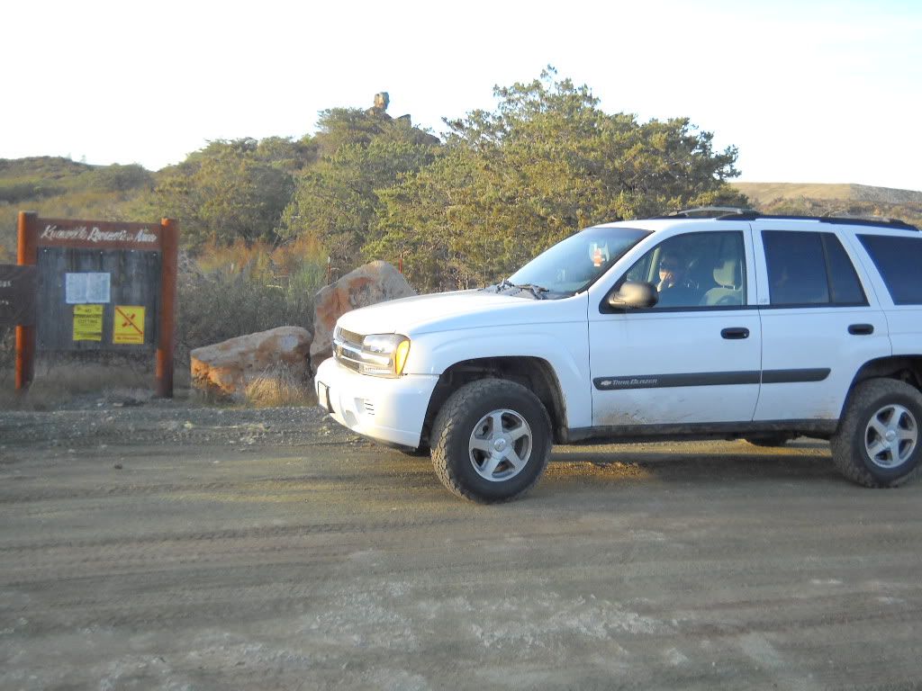
There is a message board at the top of the first hill climb where Knoxville splits
 This is where we post if we have gone down Knoxville rd, or Devilshead rd. I will do a write up on Devilshead next time I go up with someone as it is not a place to venture alone.
That's all I really have for now but I will post better pics of the more technical stuff in the next few weeks when I go back up and it's dry.
