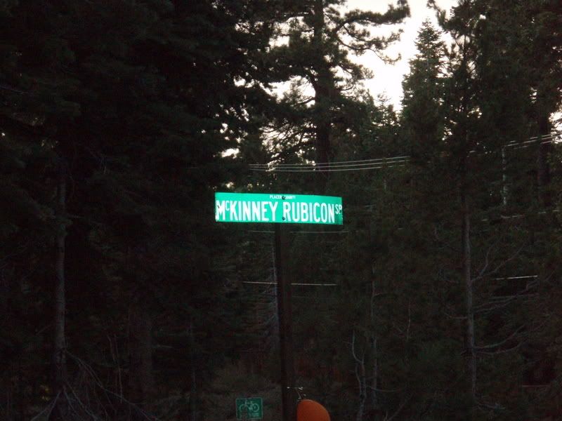
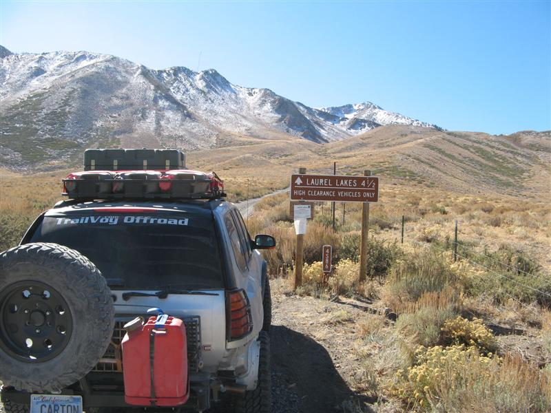
Day 3: Misjudgement Day - Wheeler Ridge
For a couple of reasons, some portions of this year's trails are repeats from last year's expedition to the same area. They're all new to Teebes, and I had to skip some interesting side trails last time. But Wheeler Ridge is an interesting and instructive story.
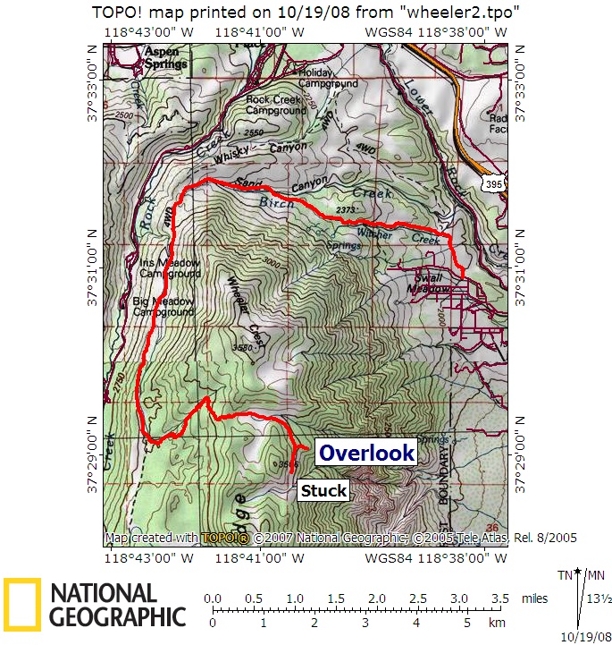
For more detail, click here: [url="http://www.roadie.org/wheelerridge2.jpg"]http://www.roadie.org/wheelerridge2.jpg[/url]
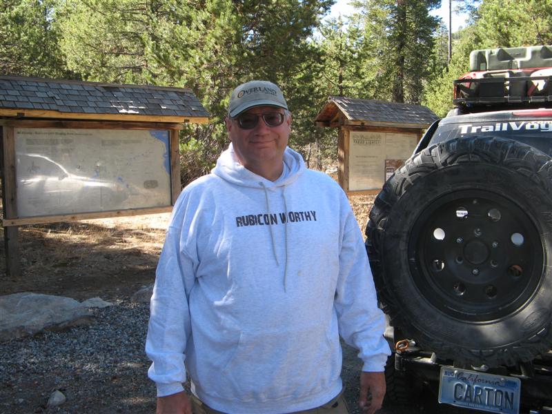
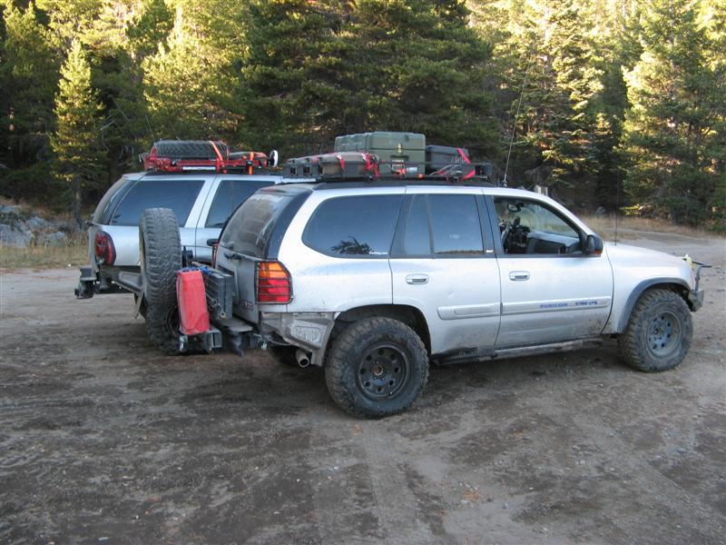
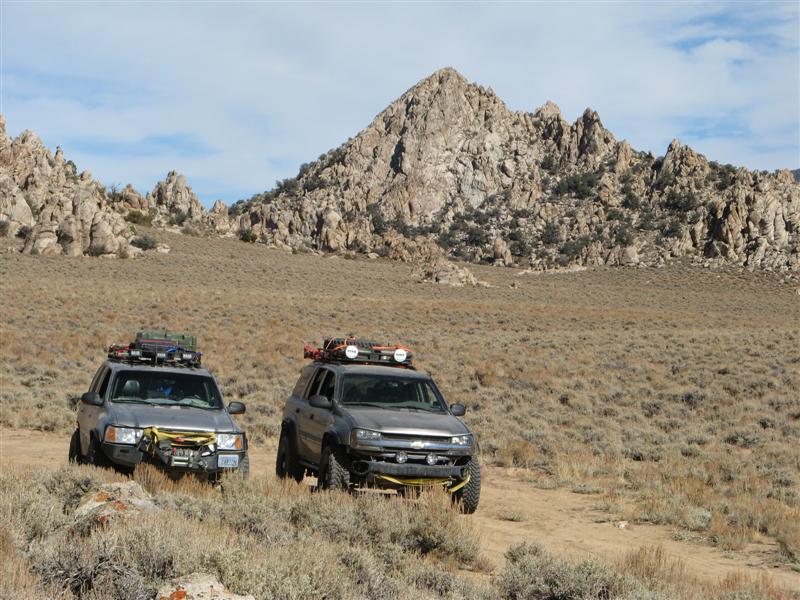
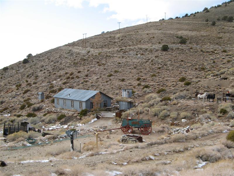
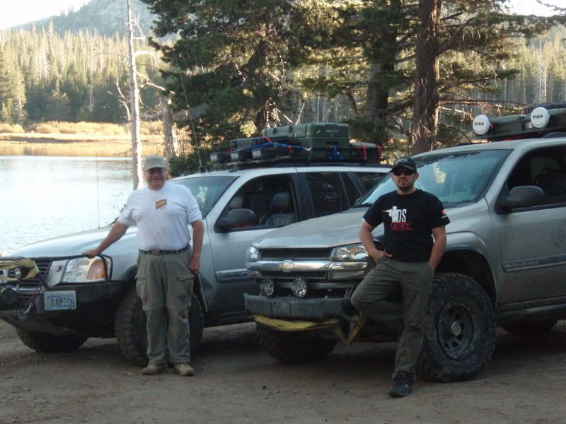
My normal expedition partner
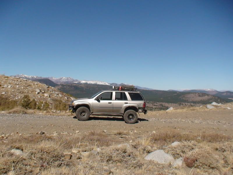
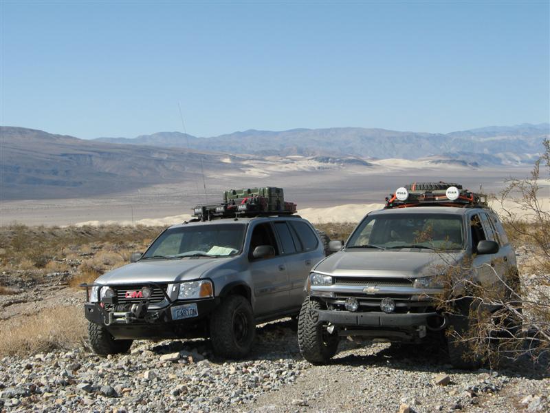
PK was a college housemate and close friend coming up on 40 years now. He couldn't come this year, and it was an amazing coincidence that Teebes with a similar vehicle, could arrange vacation on short notice. But you can do more risky things with two vehicles, which is always why they say to wheel in a group. With just my vehicle, and
PK riding shotgun, he was my voice of reason in case I was tempted to do a dumb thing. He knows the vehicle well, having helped me wrench on some of the suspension mods, and living out of it for two trips, and reminds me when I might be about to break something and have to hike out 20 miles.
Last year, on Wheeler Ridge, he used that veto power to stop just before what turned out to be a gorgeous overlook over Owens Valley. I had to admit he was right, with only one vehicle.
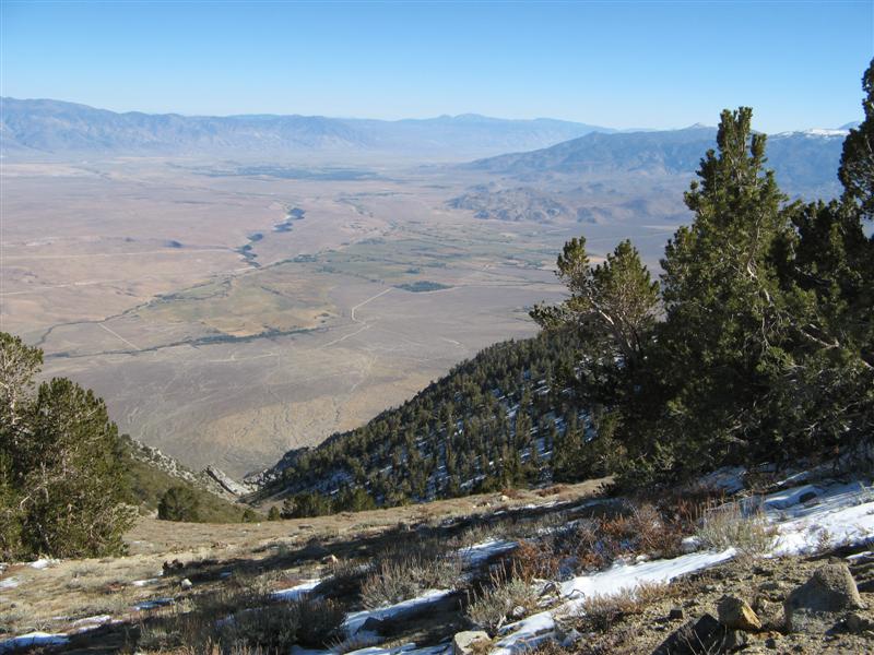
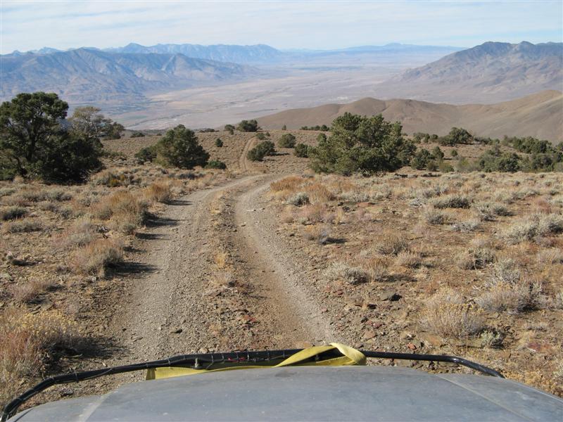
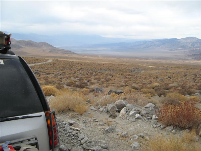
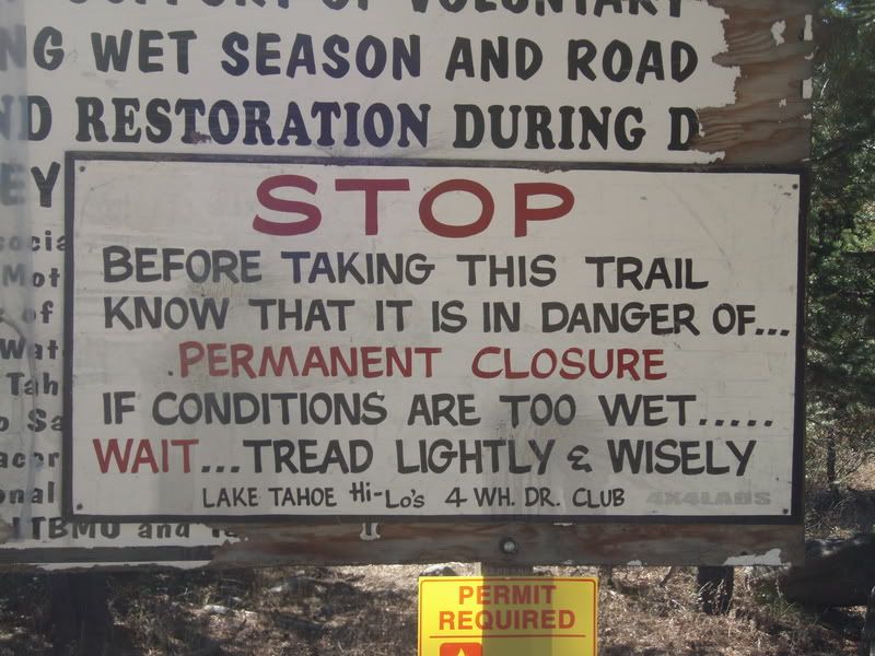
So this year with two of us in two vehicles, I thought we could safely go farther, and to a point I was right. The overlook was easily reachable, but did I stop there? Nooooooo. I went on ahead on a narrow shelf trail without checking it out on foot first. This one had FAR less traffic, and indeed, the two trail guides that even mention the Wheeler Ridge area both say - DON'T GO BEYOND THE OVERLOOK unless you're in an ATV or hiking. I had read and forgotten those paragraphs from last year, but I re-read them right after we got off the mountain that night.
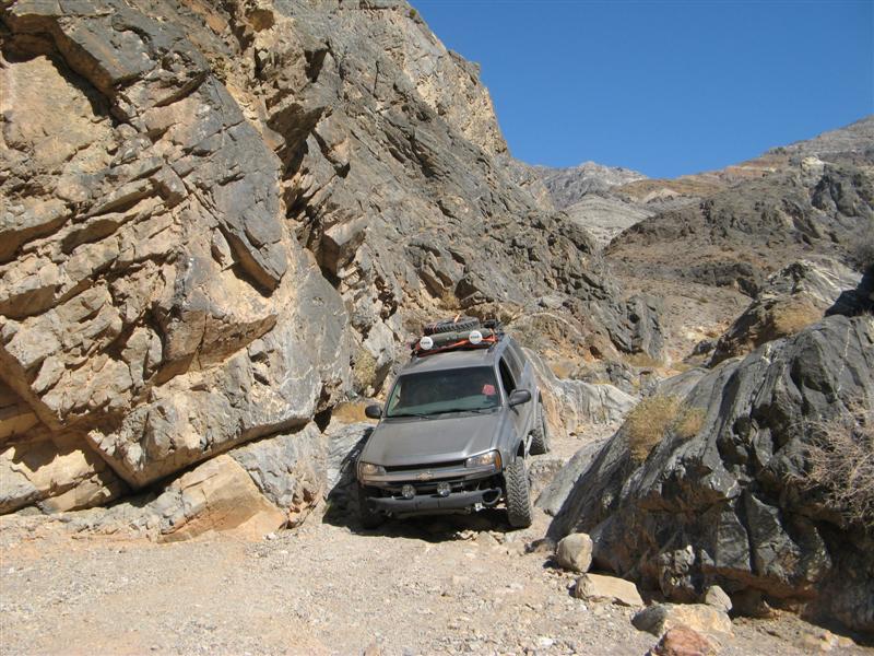
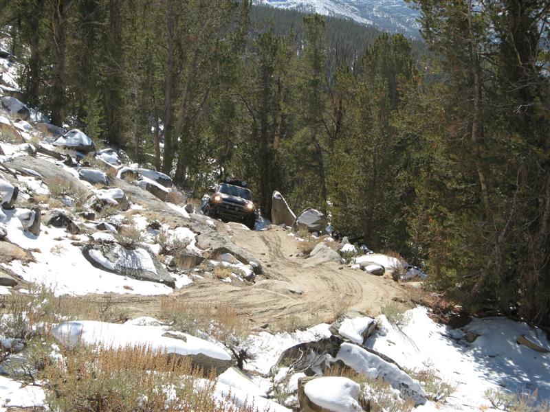
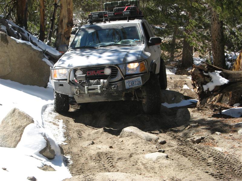
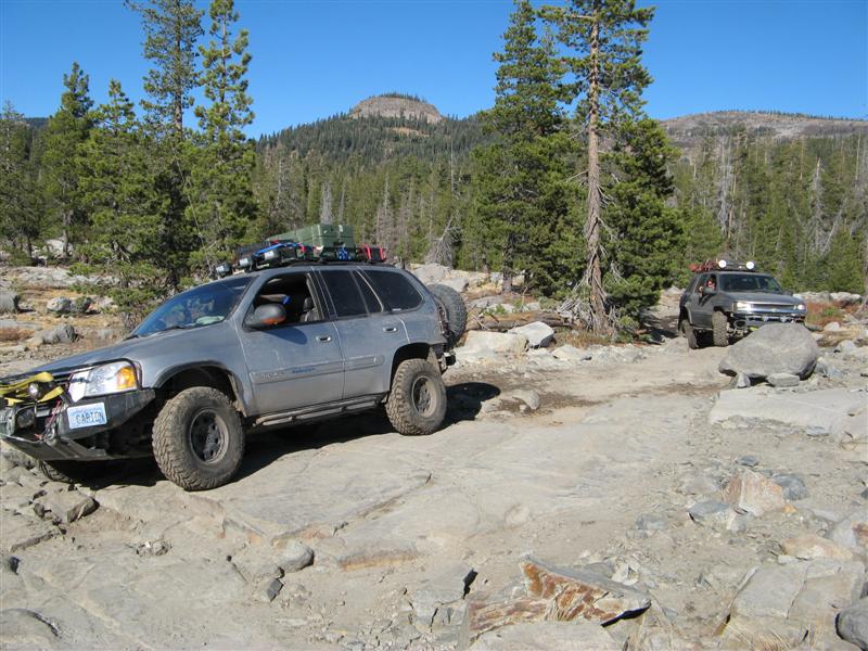
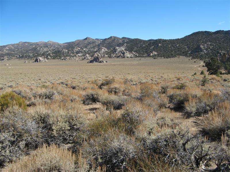
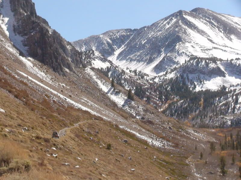
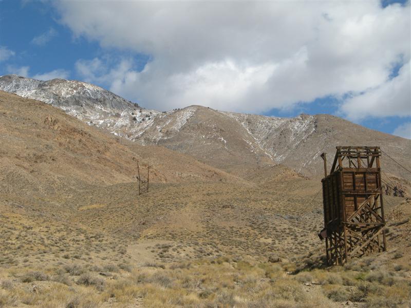
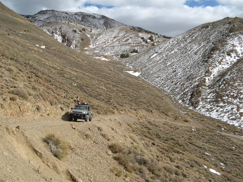
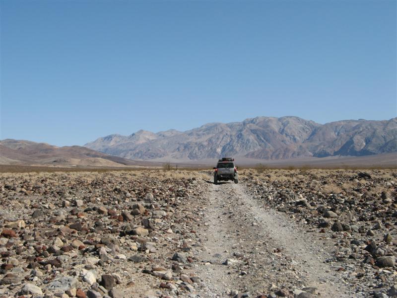
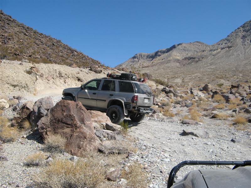
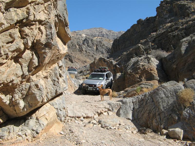
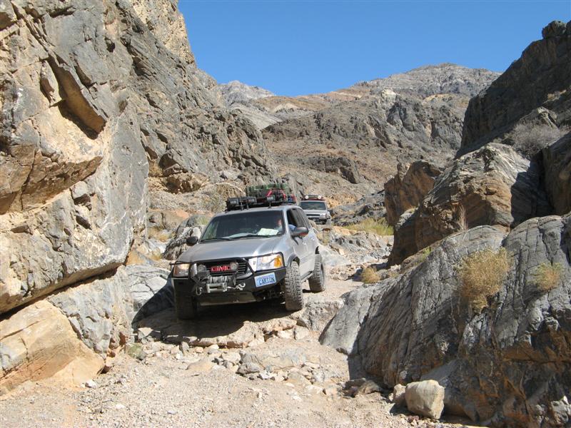
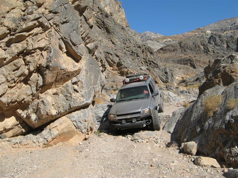
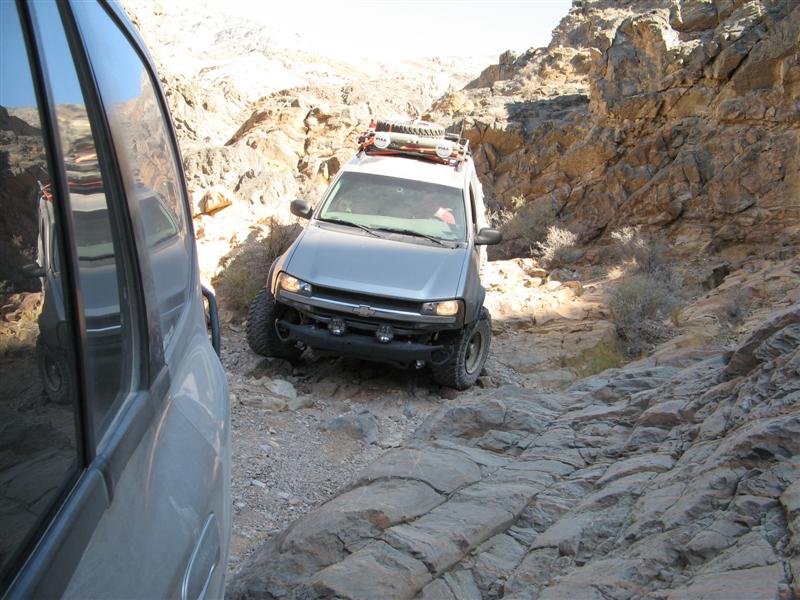
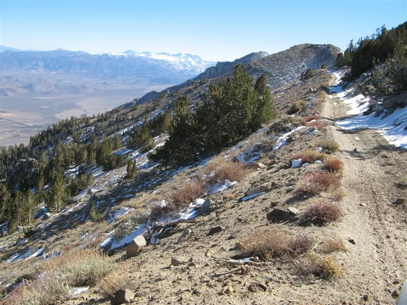
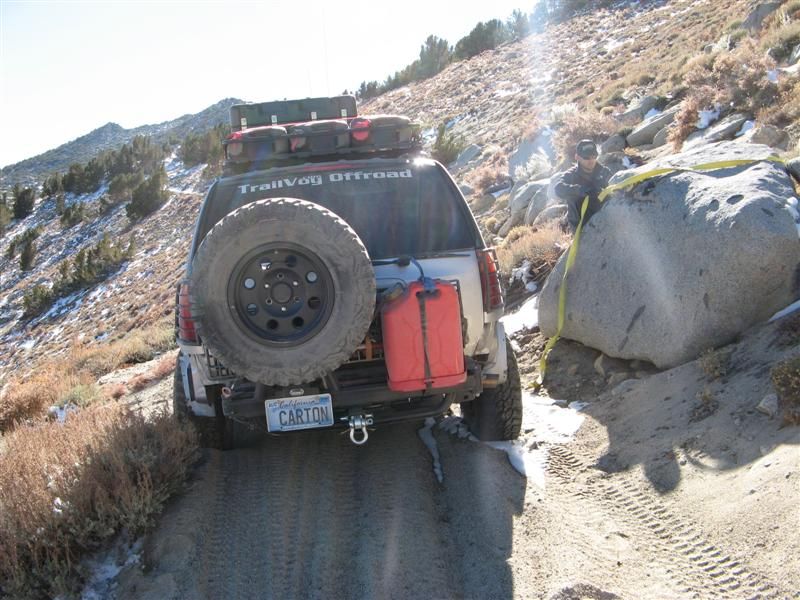
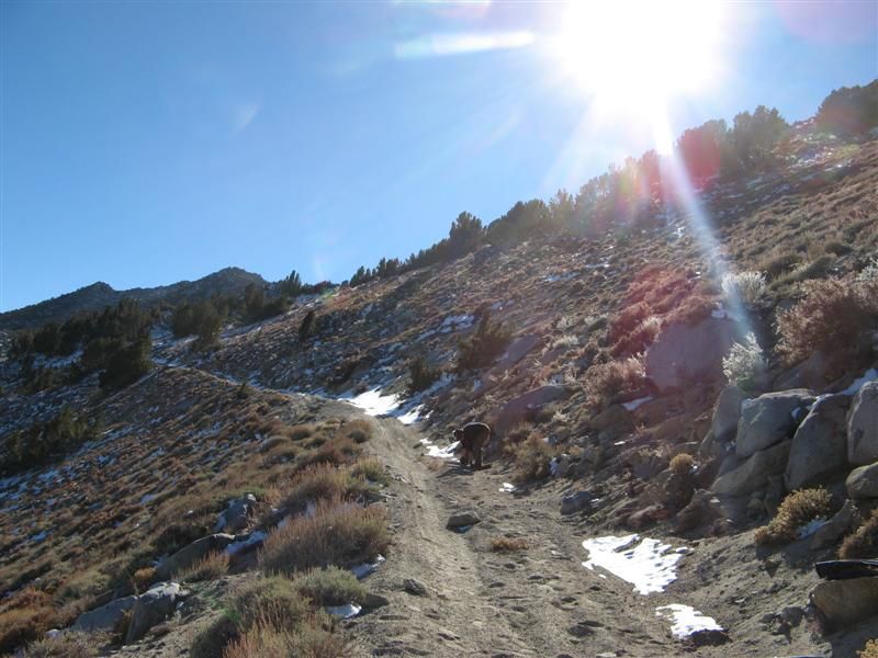
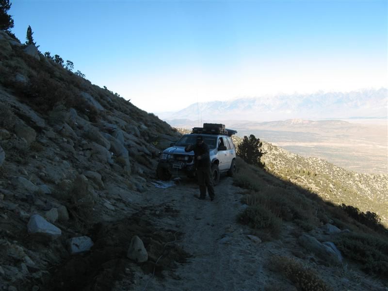
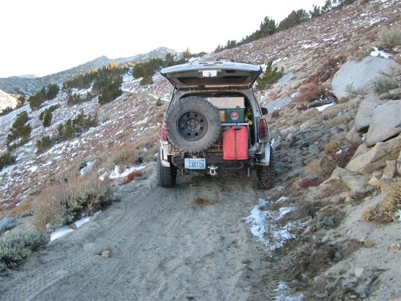
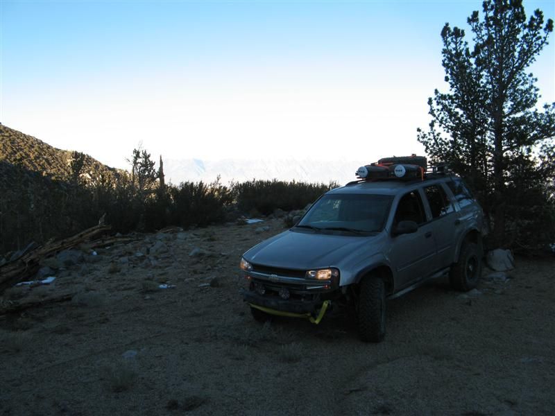
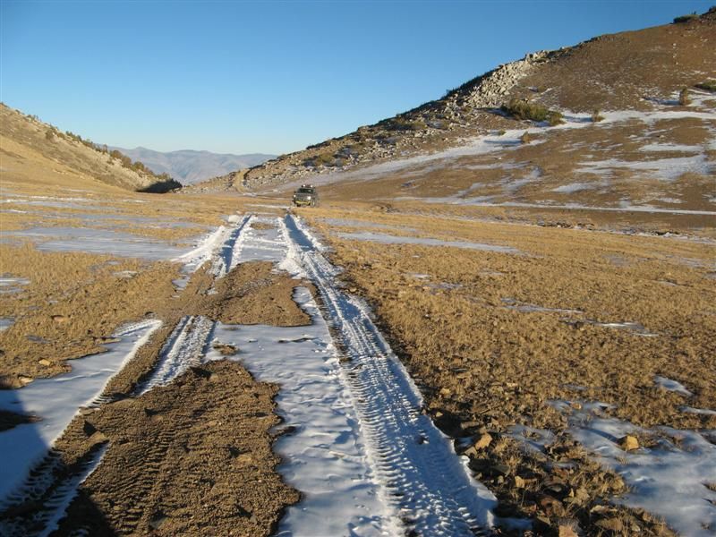
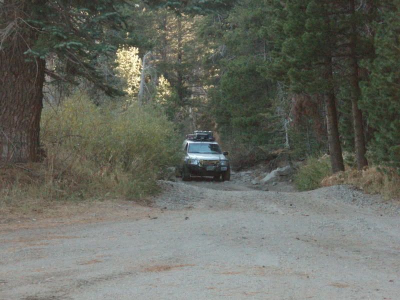
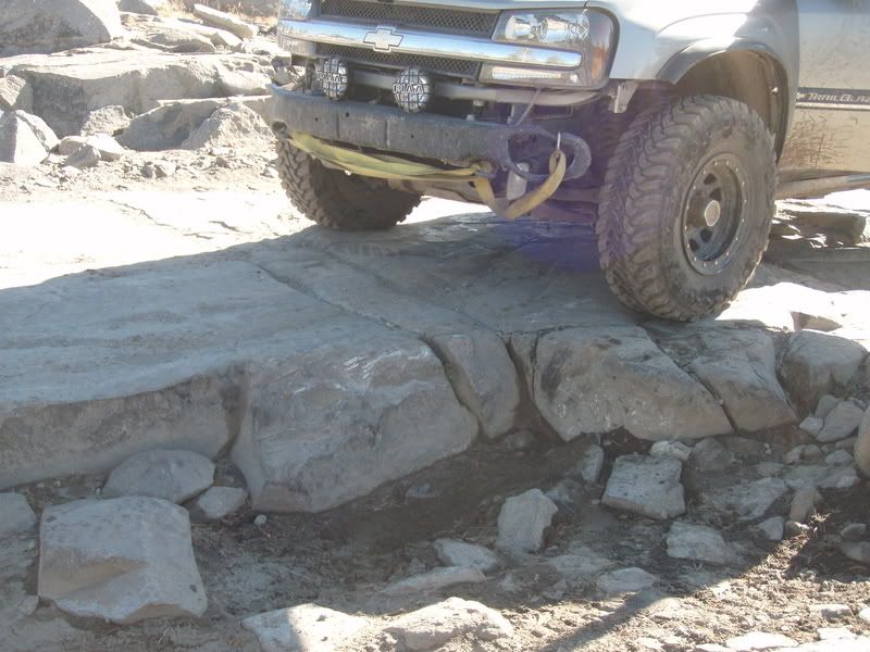
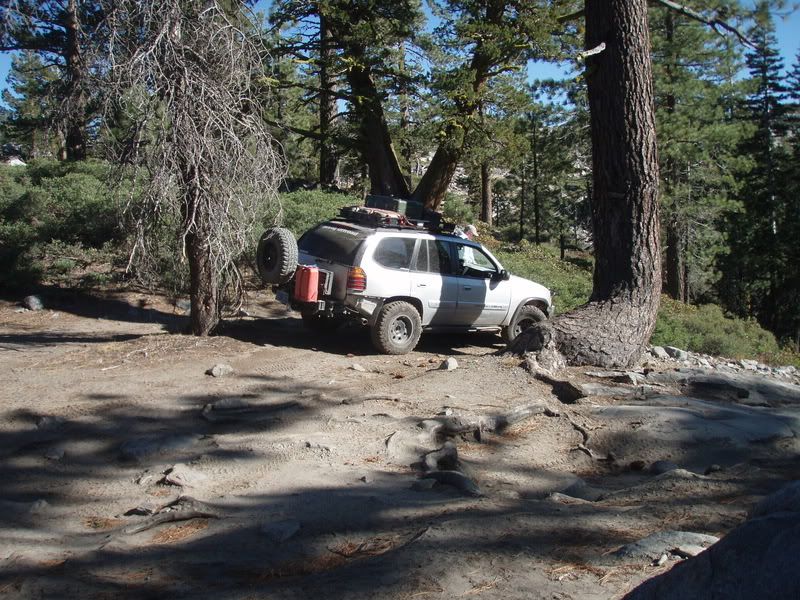
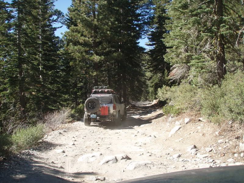
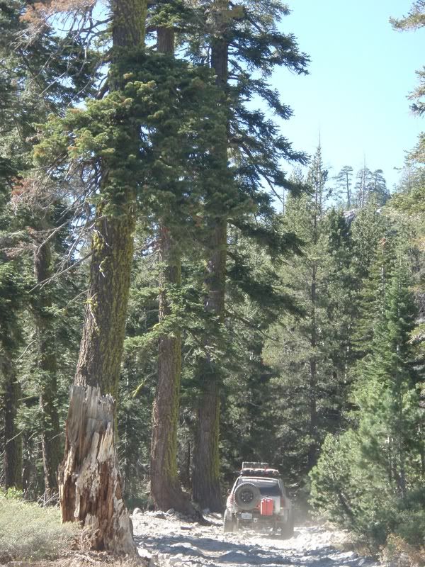
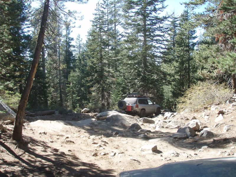
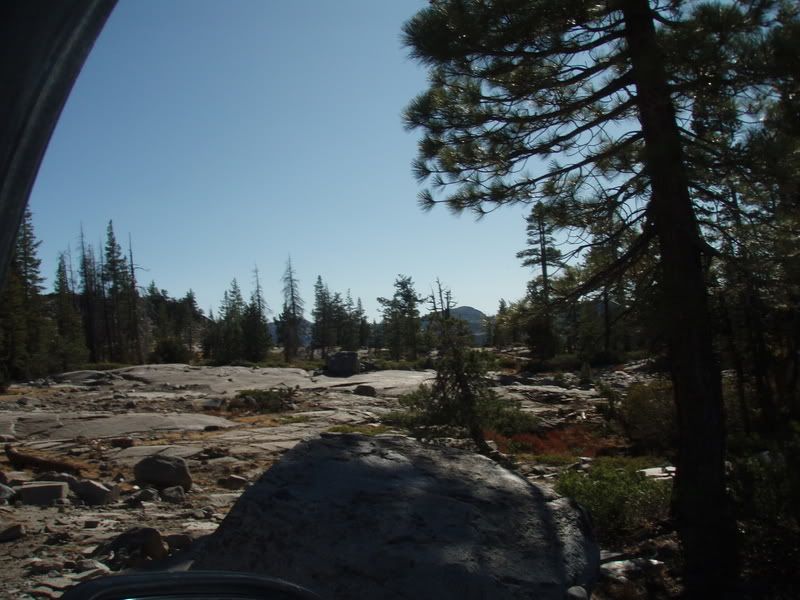
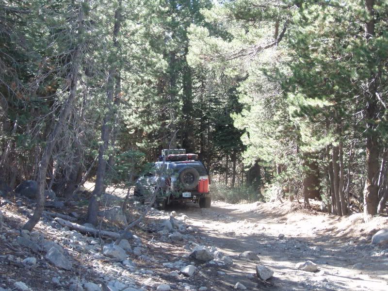
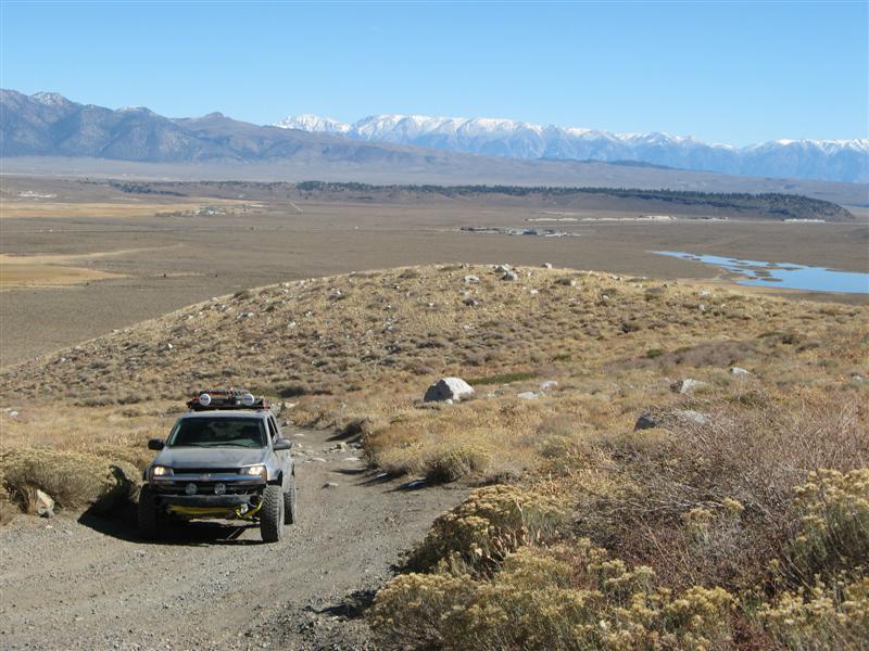
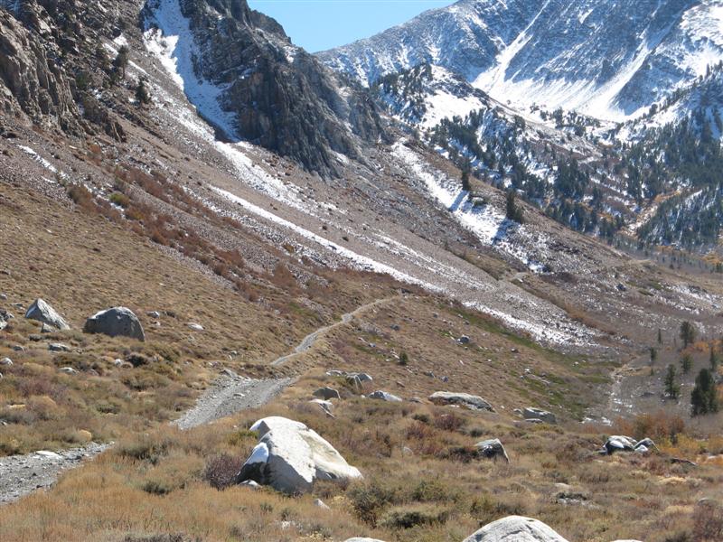
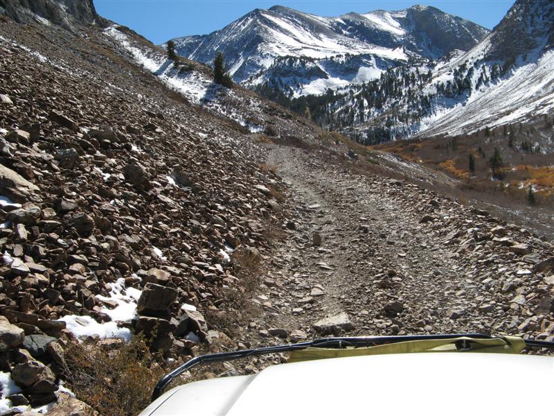
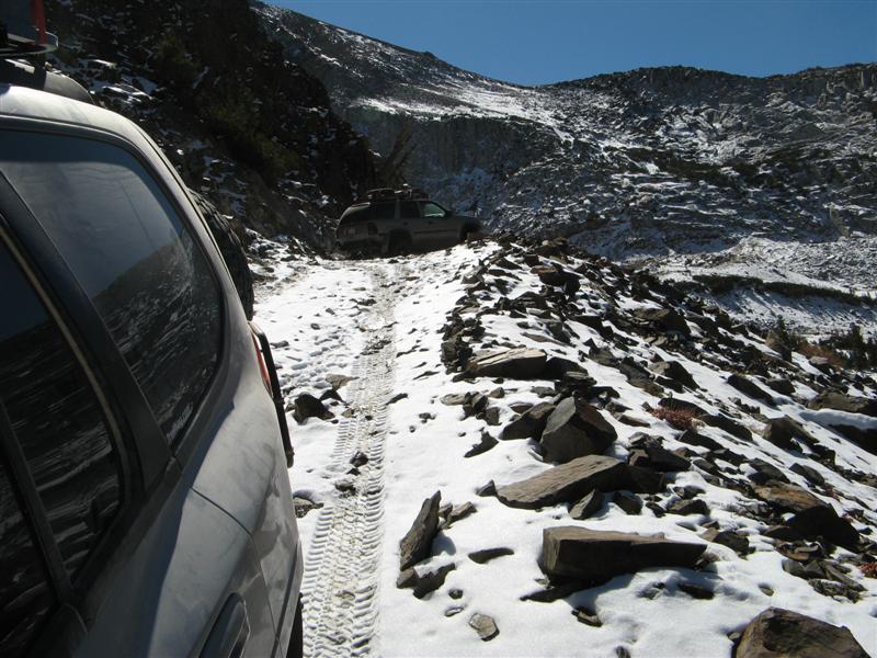
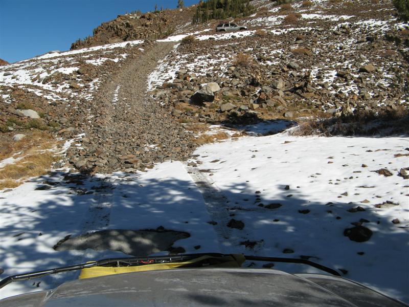
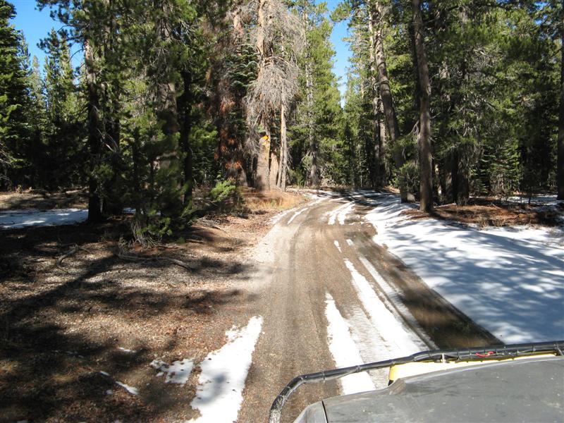
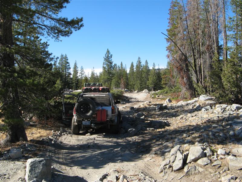
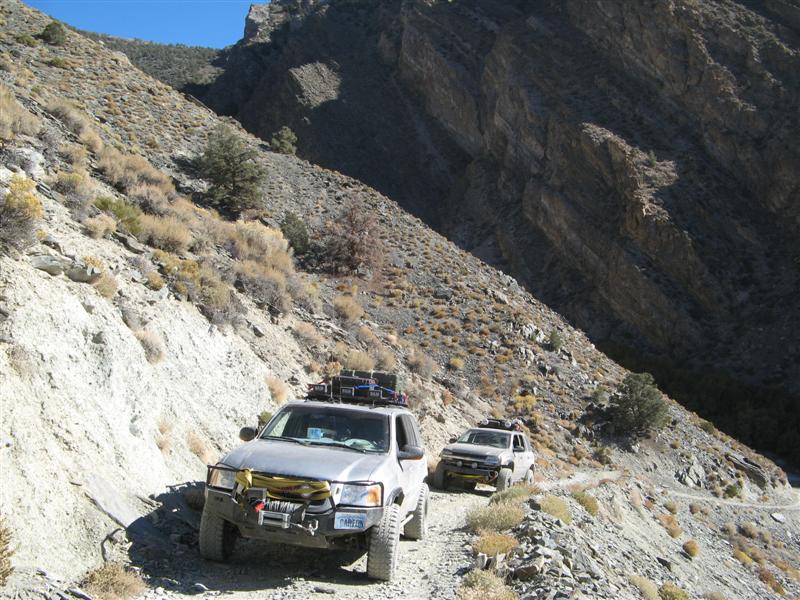
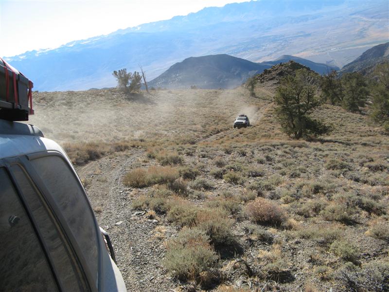
The beginning of the Wheeler Ridge climb involves a brushy trail around the ridge counterclockwise, some rocky sections, but nothing extreme. Then there's a hill climb with multiple switchbacks and ledges, and with the previous weekend's snow showers, there was even 2-6" of snow on the shaded parts of the trail. Last year with Goodyear Wrangler Silent Armor AT tires, I got up with a lot of wheel spinning and auto locker engagement. This year with aired-down MTs, even on snow, Teebes and I had ZERO problems with no wheel spin, and only a few frame or rock slider bangs on the way up. On the way down, there were a lot more scrapes, but that's the nature of going DOWN hills and compressing the front suspension. Besides, we were exhausted and relieved on the way down, so we just didn't care to avoid every possible frame scrape.
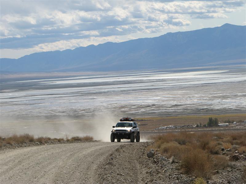
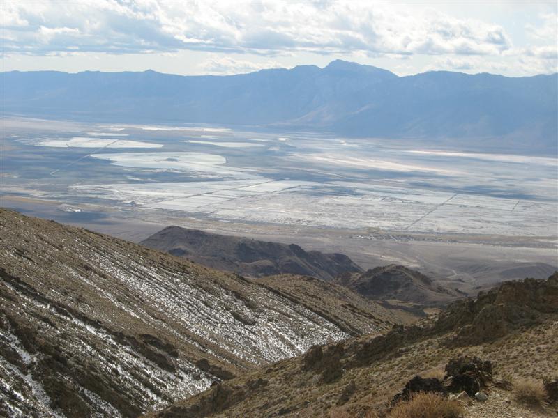
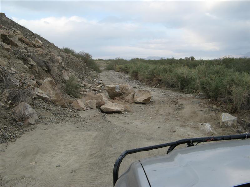
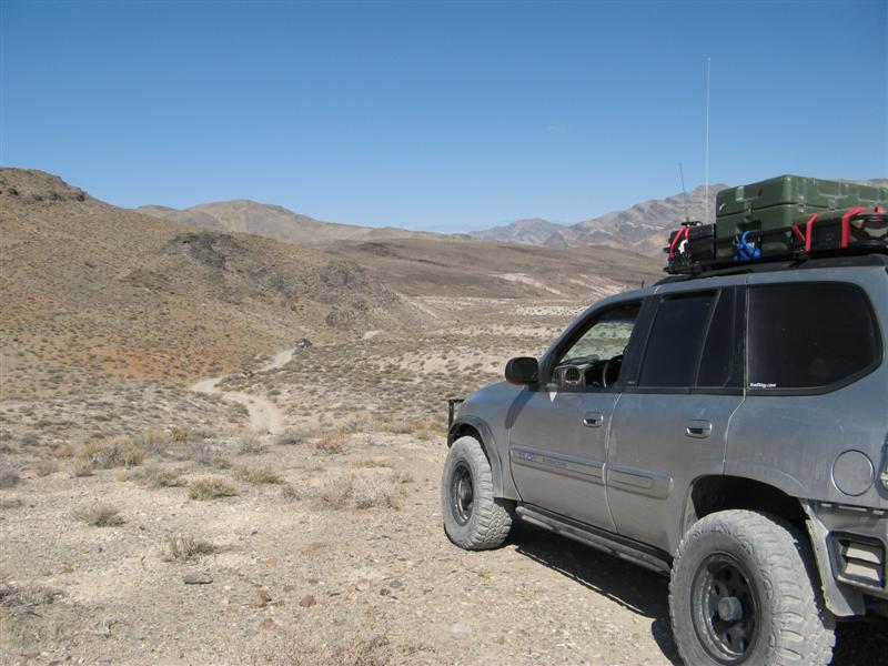
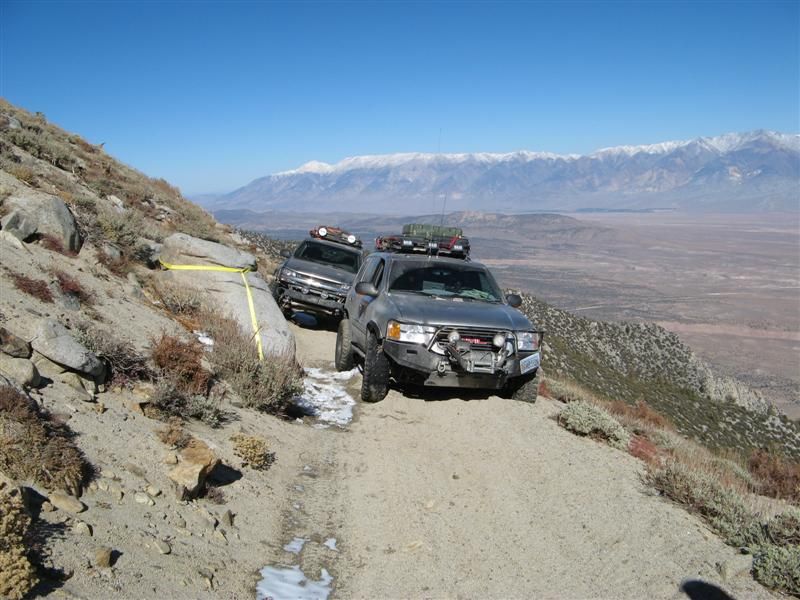
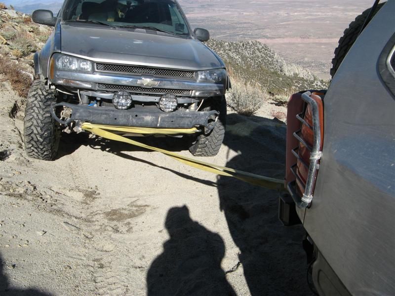
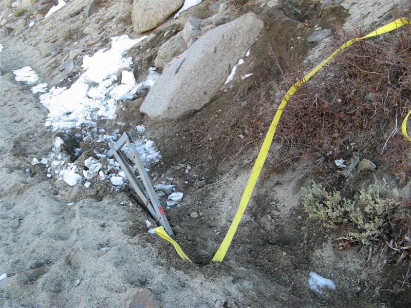
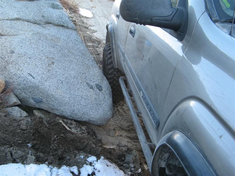
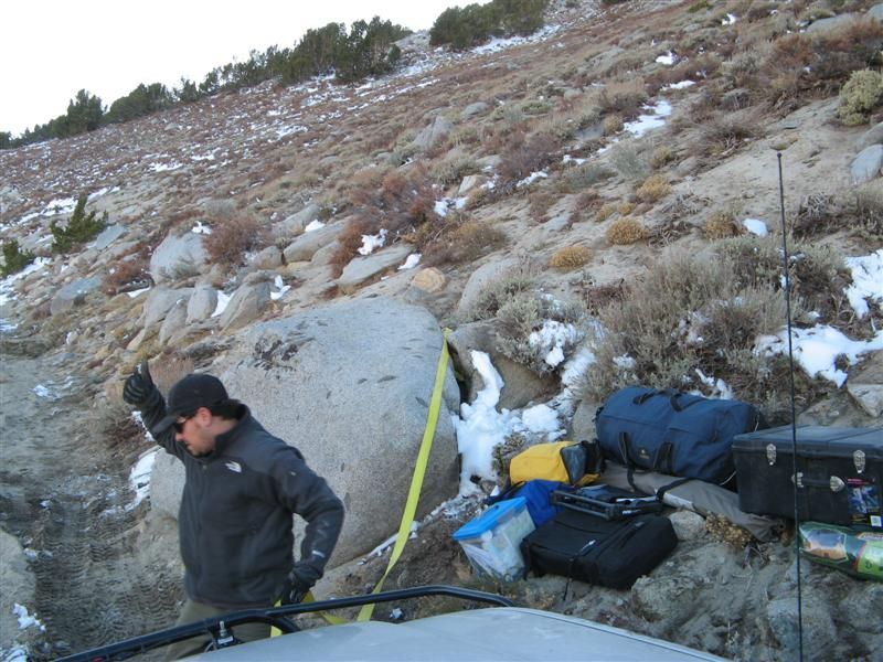
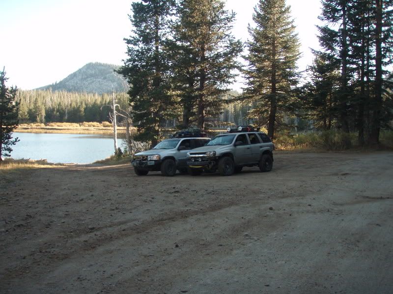
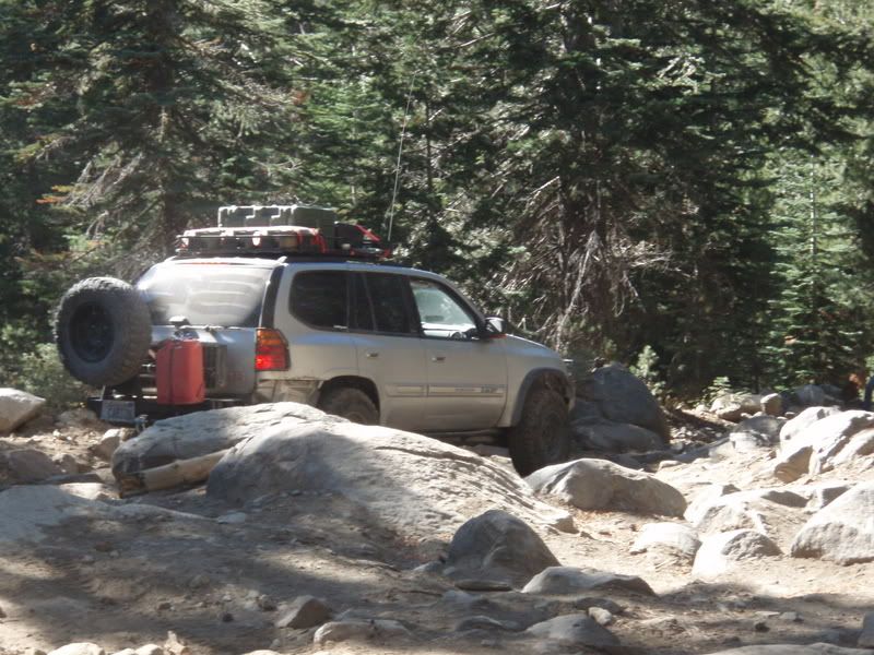
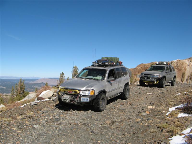
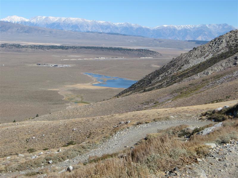
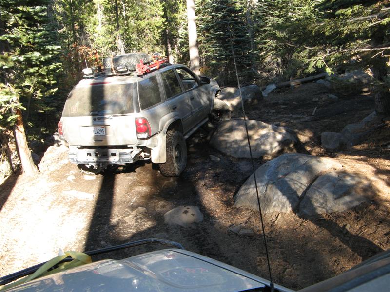
So we get up the hard part, top off at 10,900 feet at a dry lake that's filled with snow melt every spring time, go around the lake to the overlook, then continue onto the sandy shelf. If I had walked the shelf first, the sponginess would have been obvious. What suckered me was that all the shelf roads we normally travel, in the forests or the rocks inthe desert or the Elliot Mine area, are all hard-baked, well-travelled, and very stable. This one was none of the above. When in the middle of the trail - no problem. But a boulder stuck out close to the upper edge, and I didn't kiss it as closely as I should have. I went about a foot away, and started to bog down. Instead of going a foot forward, I went 6" downhill as the sand started to give way on the downhill side. I stopped. Watching the tire, I tried another 6" forward, and went 3" downhill. OK. Stop. Breathe hard. Think. Teebes is 20 feet behind. Keep him there. No closer for a while. Can't go forward. Can't go back. What to do first? Get ready to jump/crawl/slither out the uphill passenger window if it starts to slide on its own. Teebes comes with one of his straps to wrap around the boulder. I look at the strap as a lifeline in case I need to jump out. I take the SPOT emergency beacon from its suction cup dash holder and put it in my pocket in case we have to call for help. Cell doesn't work here, even though there's good line of sight to the town of Bishop. Consider my poor judgement to get into this mess. Etc., etc.
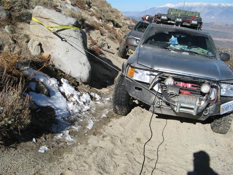
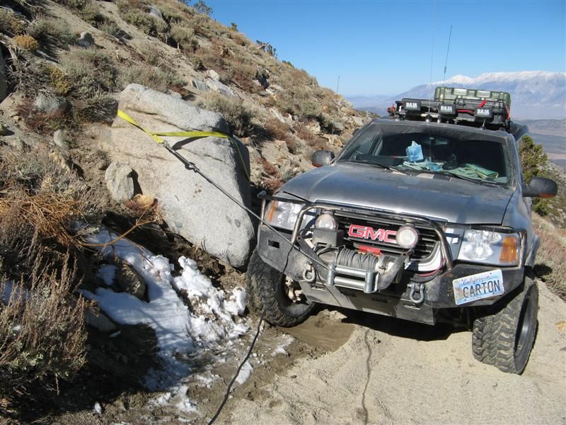
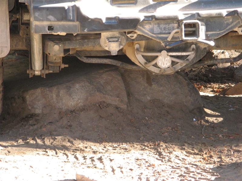
Teebes stabilizes my rear end to his front, now we're convinced we're not going to have a two-car avalanche. I still can't move uphill even at a shallow angle under my own power, so the winch is the only tool that can help. So we arrange the winch to a strap wrapped around the boulder, and start winching sideways. This works well, and doesn't scrape my tire beads off the rims, for about 12-14". Then Teebes notices the BOULDER is shifting! What kind of 6' boulder can't be trusted to stay still?!?!?!?!
OK, so now if we winch against the boulder it might start to slide, taking the Envoy's front with it! Shoot. So next up is plan 2, using the PullPal. I had also worried enough about being stuck in mud or high centered on trails with no trees that I bought a PullPal winch anchor. It folds up, but it's basically works like a plow that dives into dirt, sand or mud to whatever level it needs to dig in and provide traction. In case you don't have a suitable winch point within range of your winch line plus any extension straps or cables you might have.
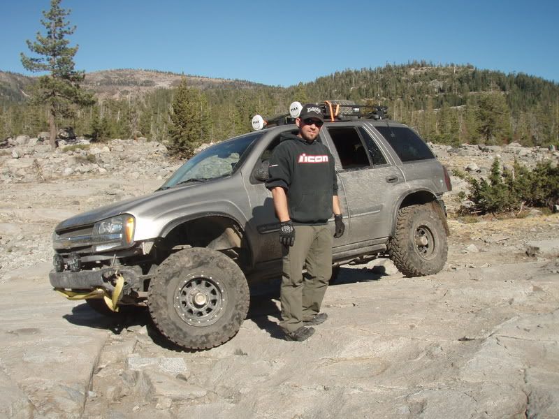
So Teebes takes the PullPal out 50-70 feet to the uphill side of the trail ahead, so I can get a shallow angle pull. But the trail is such crappy sandy spongy looselessness that over an HOUR of placing the PullPal and winching it fail to get it to a point of traction. Oh, and this is all at almost 11,000 feet, below 30 degrees, and did I mention the sun sets on this side of the mountain in about 45 minutes? As I mentioned before, Teebes is doing all the heavy lifting (being about half my age) and I can't thank him enough.
Changing tactics, he finds a better uphill location, and the winch finally bites in and I move forward! I'm still tied diagonally to his truck in the back for safety and to get a bit of uphill slide when I go forward. So every foot forward winching means he has to move his TB forward to match. But that works, and I finally get past the intruding rock to relative safety beyond.
Sneaking around the rock in reverse is yet another challenge, but I kiss it as closely as possible and Teebes spots me around it. Then we have to back off the now-shaded shelf to the safe overlook - a couple hundred yards of knowing you're on a spongy sandy shelf that could avalanche at any time from our weight. We get to the overlook. shiver with the cold, take a few dozen more pictures, get back into the sun at the dry lake, bang down the rocky ledges as the sun sets for real, and 90 minutes later we're back on pavement.
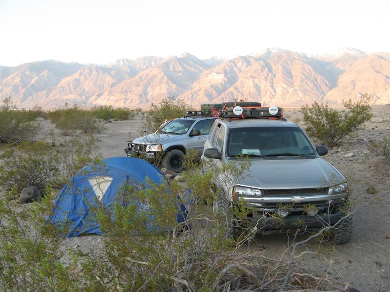
And we agree to drop a dime and spend the night in a hotel, get cleaned up and go have some BBQ and beer, and consider our good fortune as a reward for clean living.
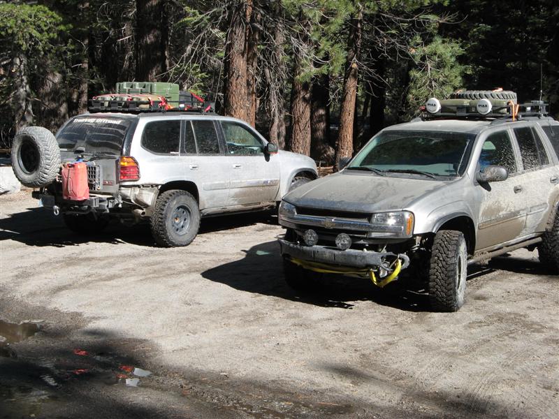
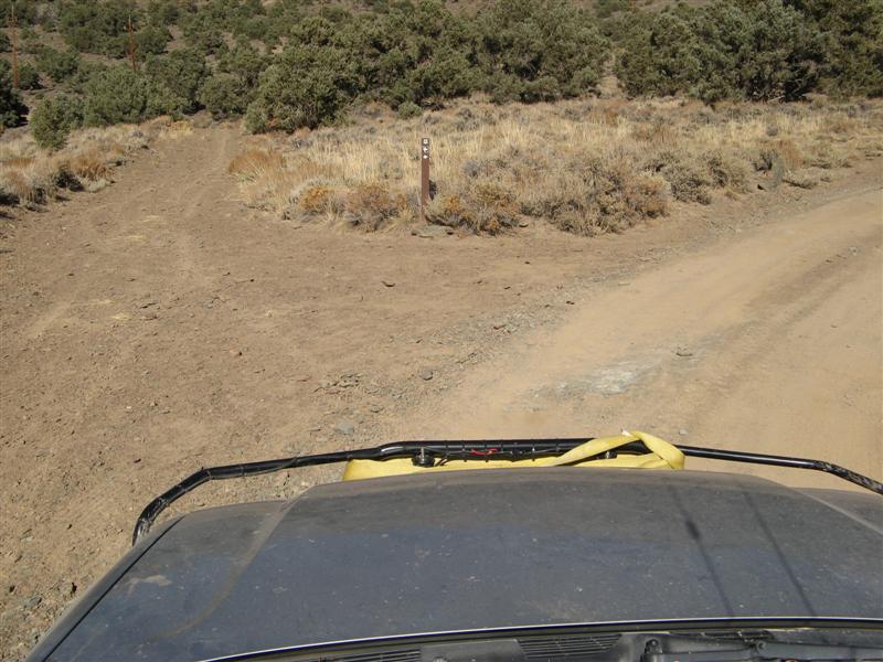
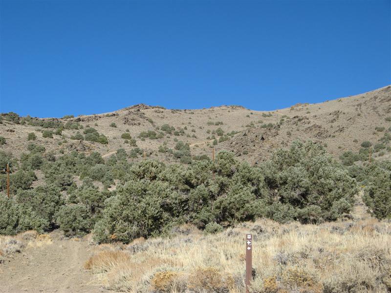
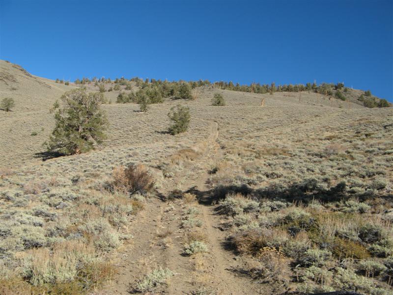
Pics:
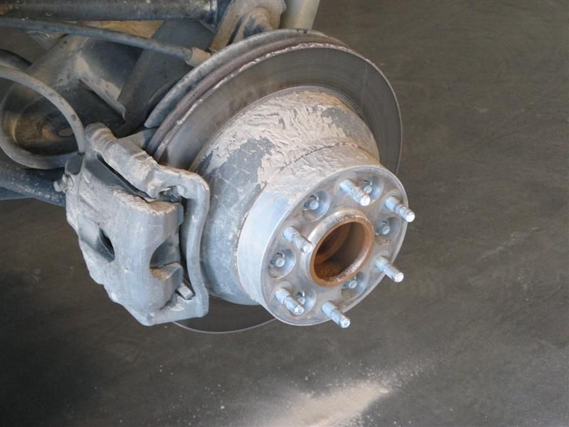
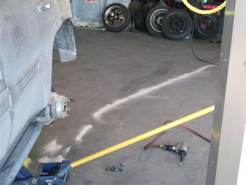
In the tire store, getting a proper internal patch put on the plugged puncture. This is the fine dust from some low points that collect silt after a rain.
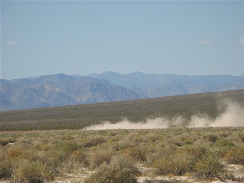
And this is the dust trail that ran out from the wheel as they rolled the tire to the back shop.
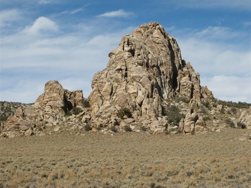
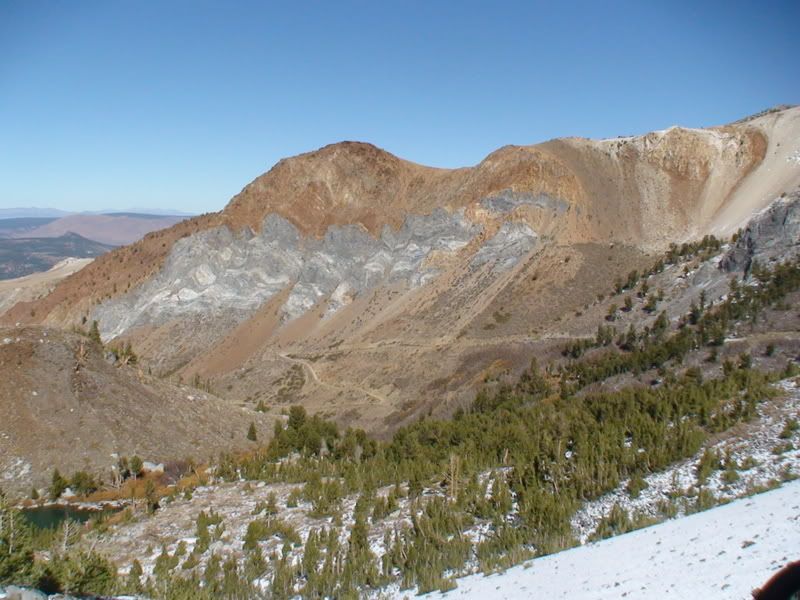
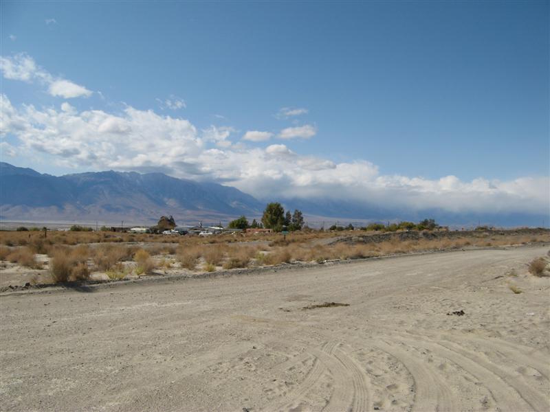
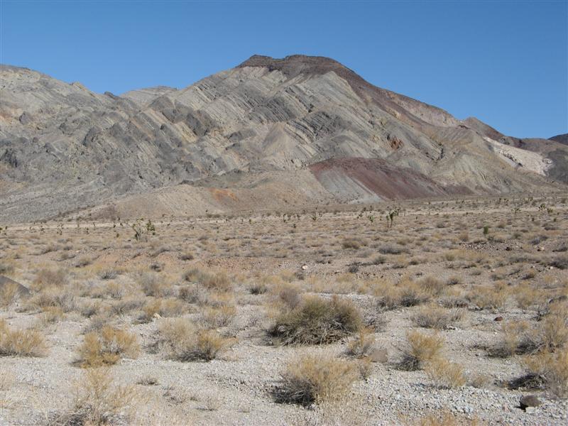
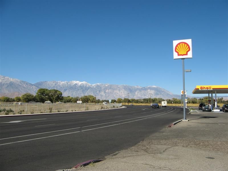
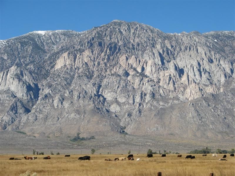
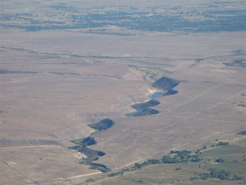
View of the meatloaf pan-shaped Wheeler Ridge from the tire store
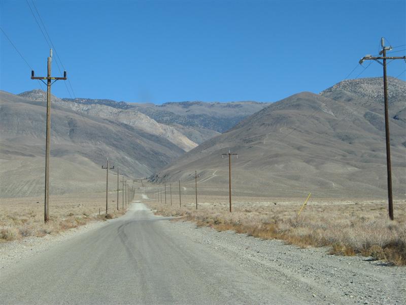
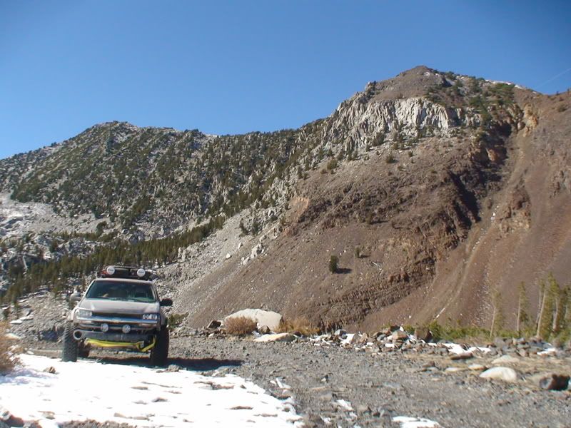
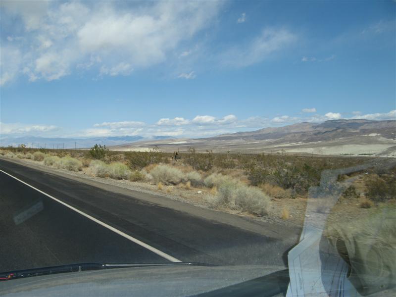
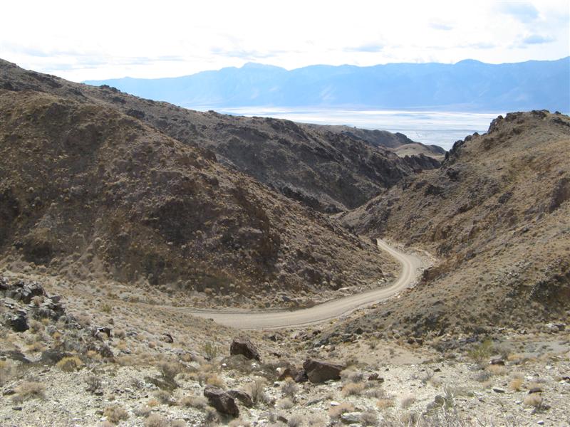
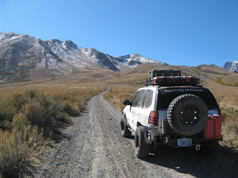
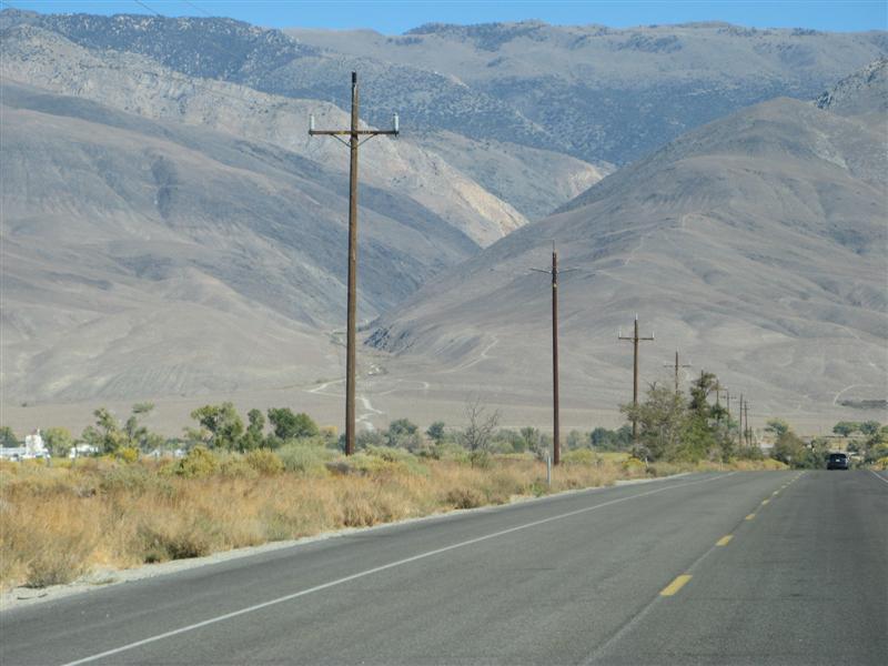
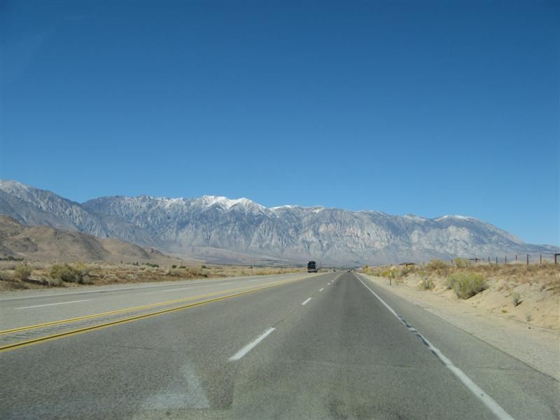
From the road.
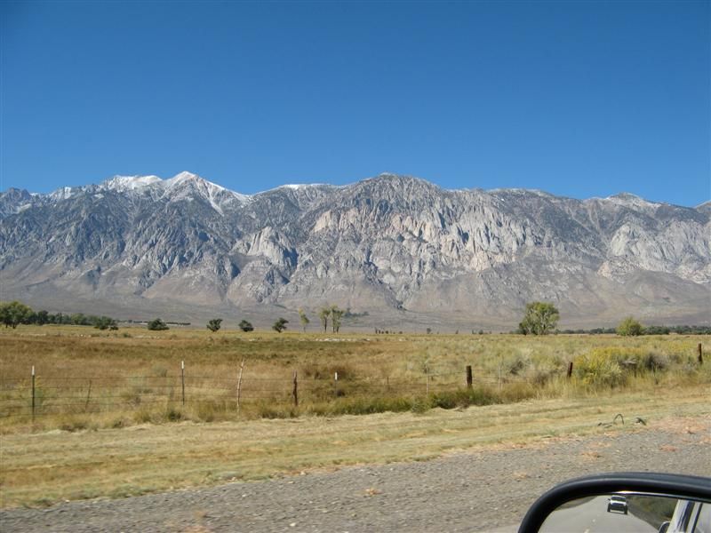
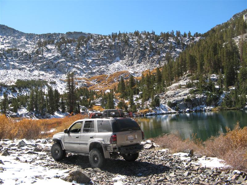
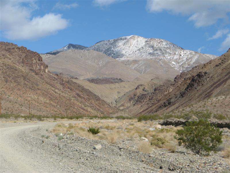
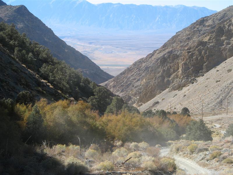
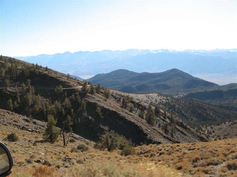
From the top of Rock Creek Canyon.
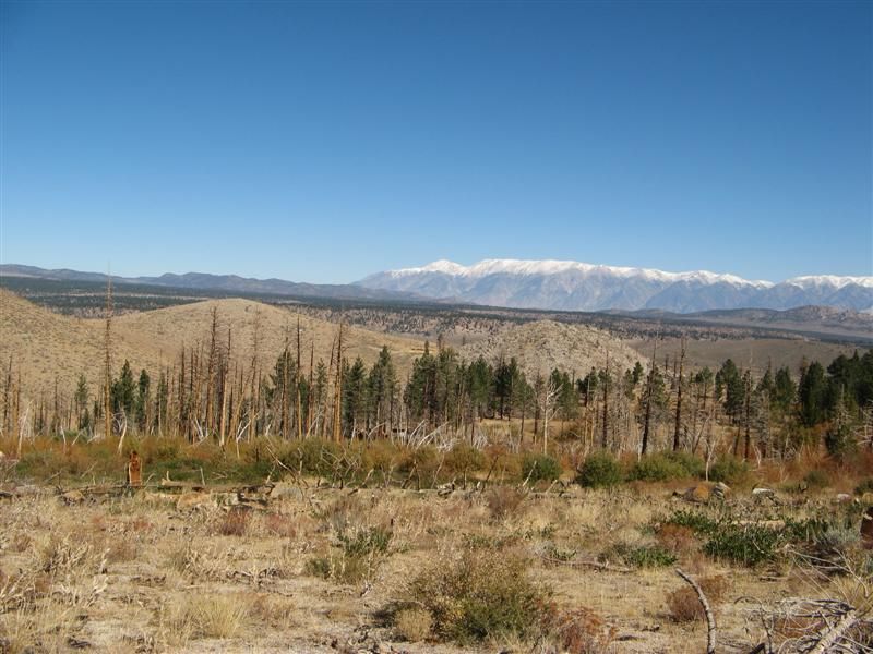
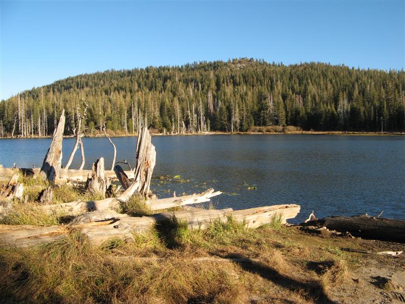
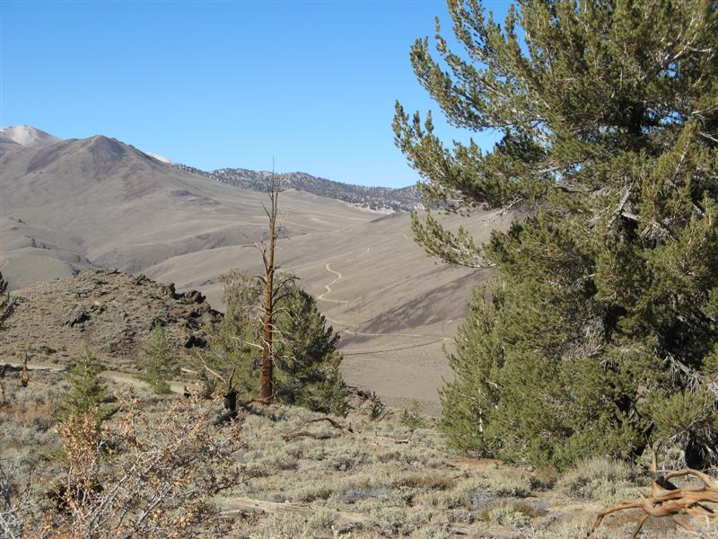
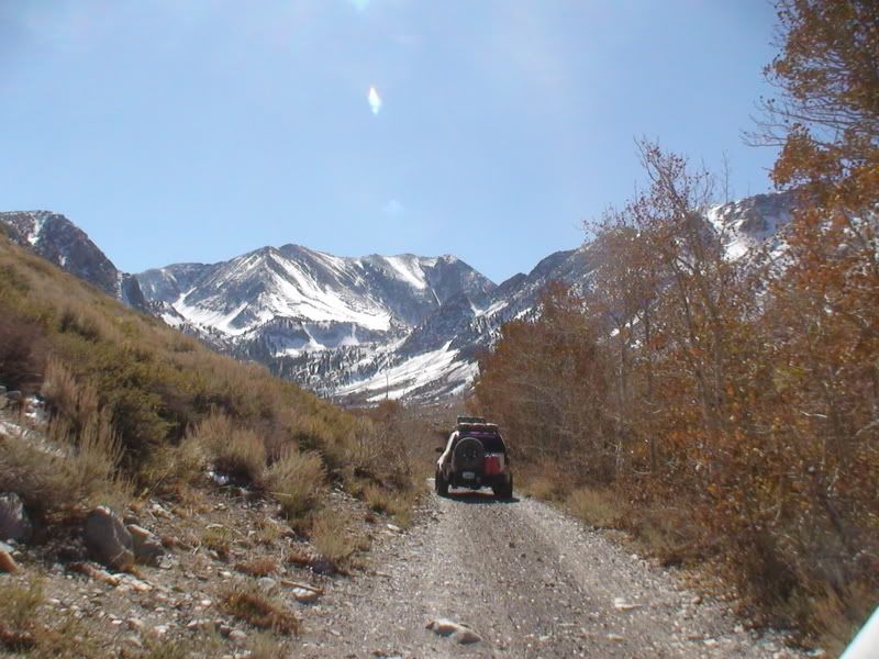
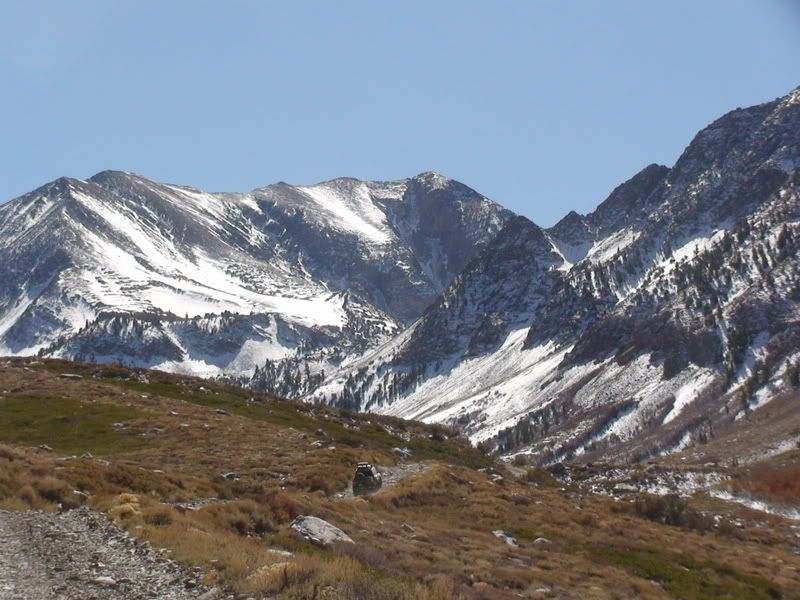
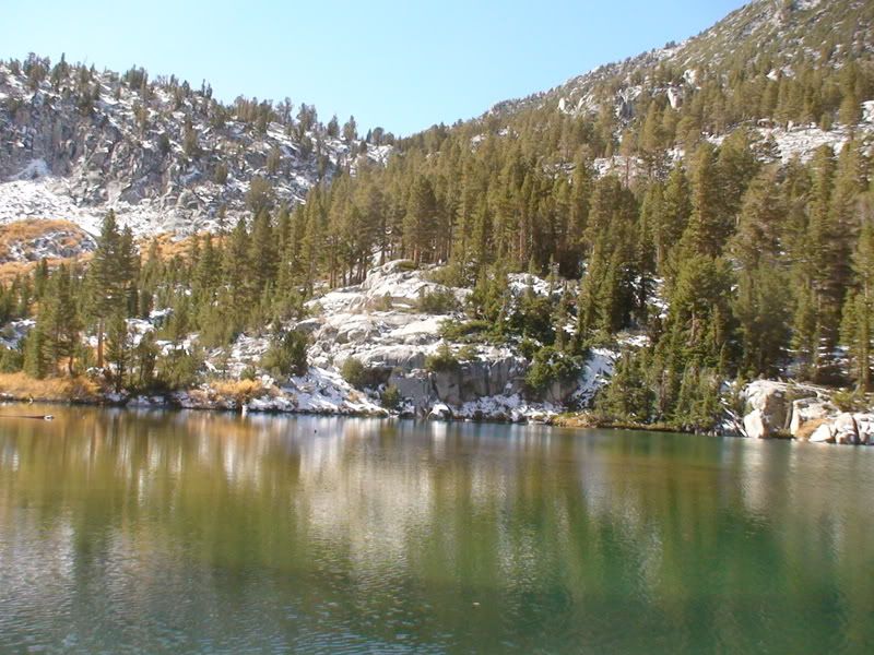
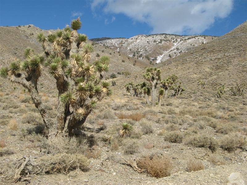
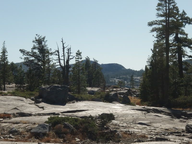
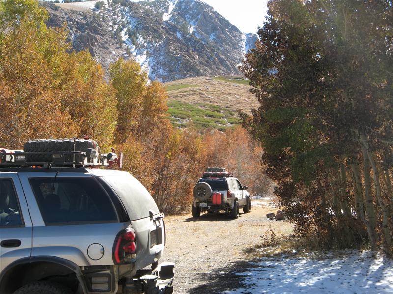
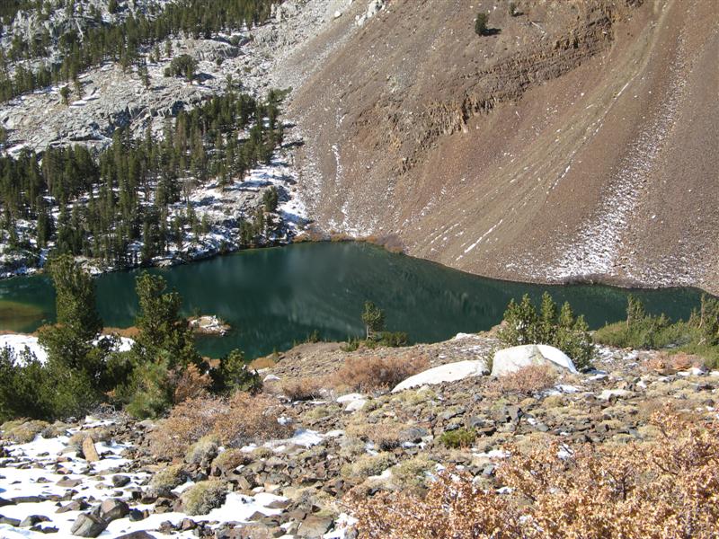
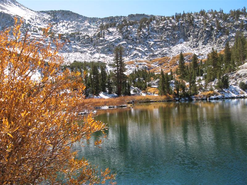
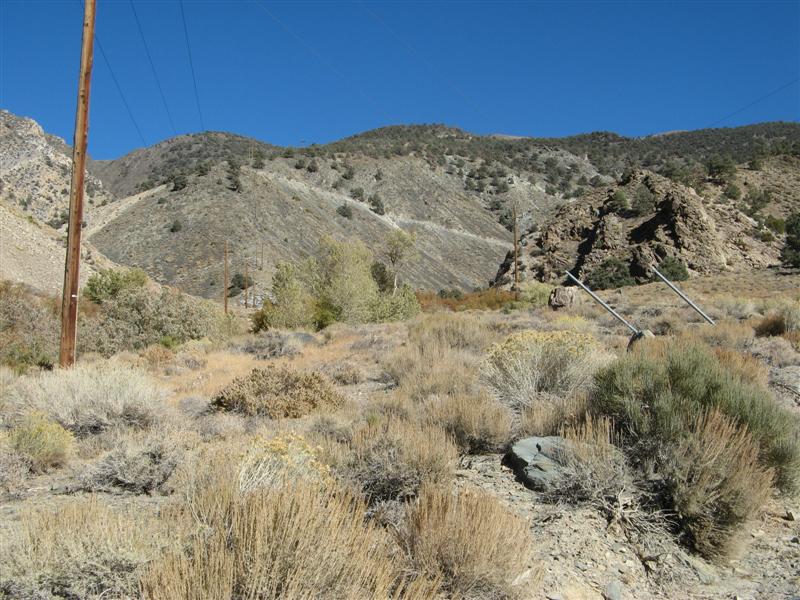
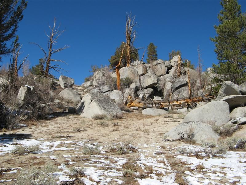
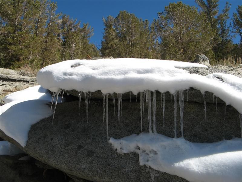
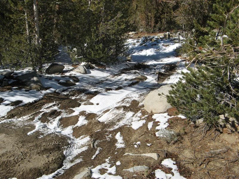
Alpine scenes
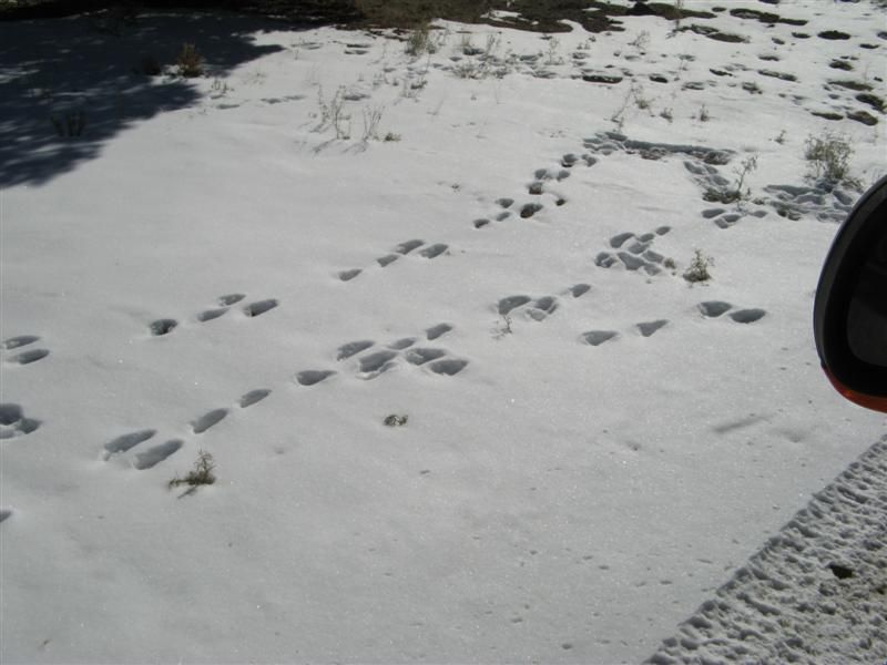
Last day of deer season
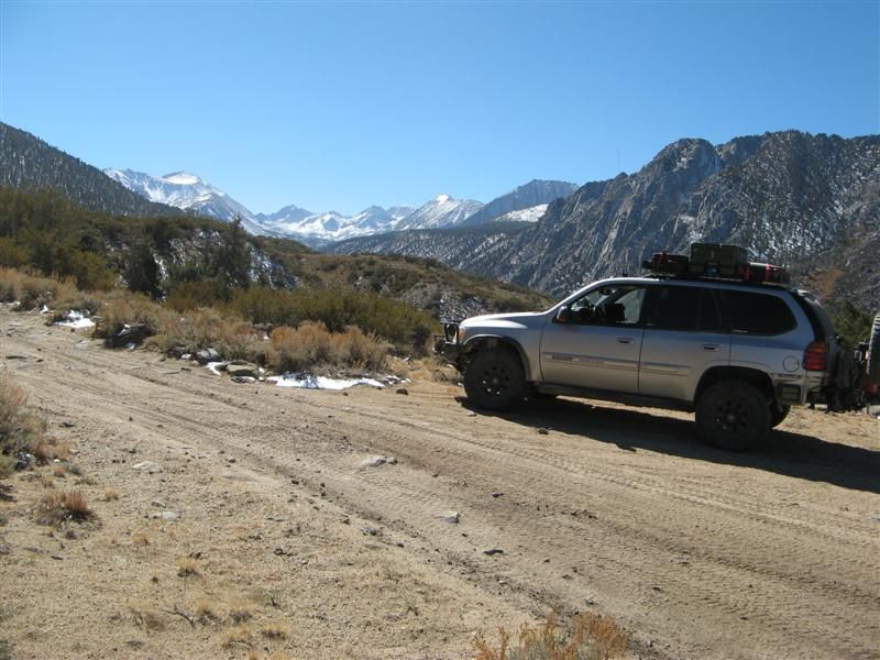
In the hard climb.
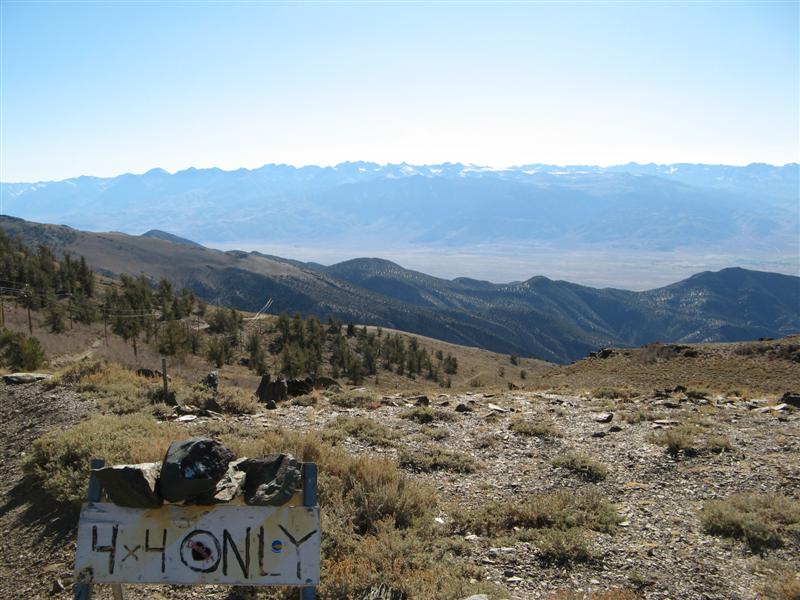
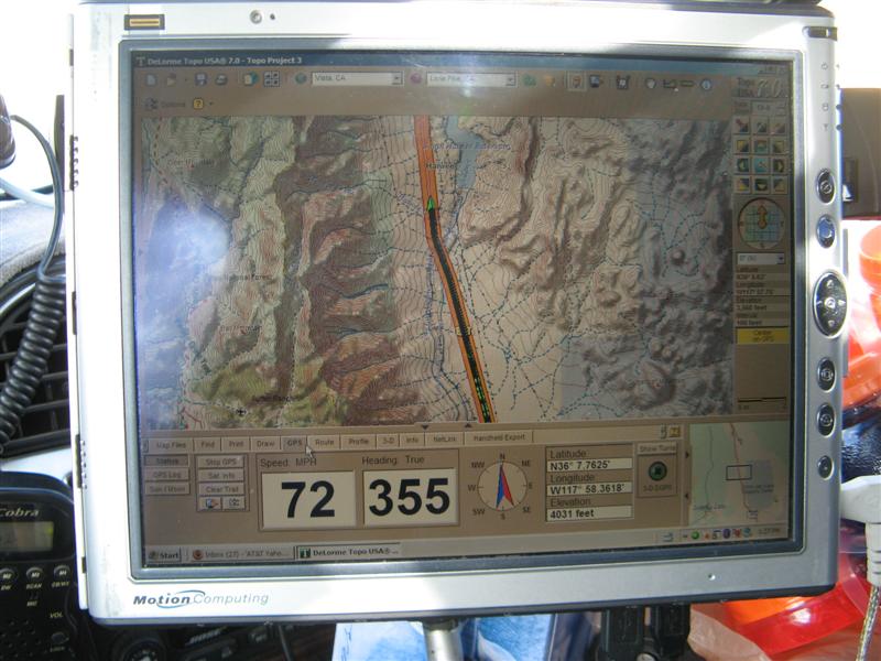
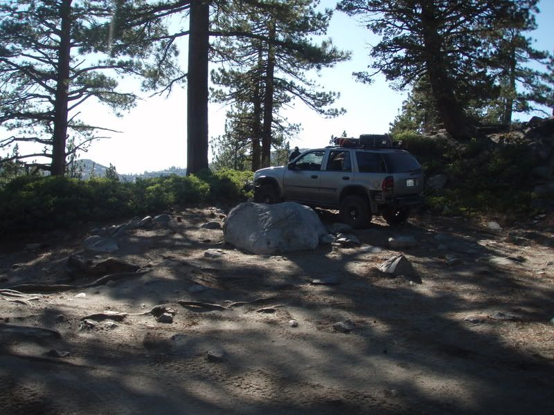
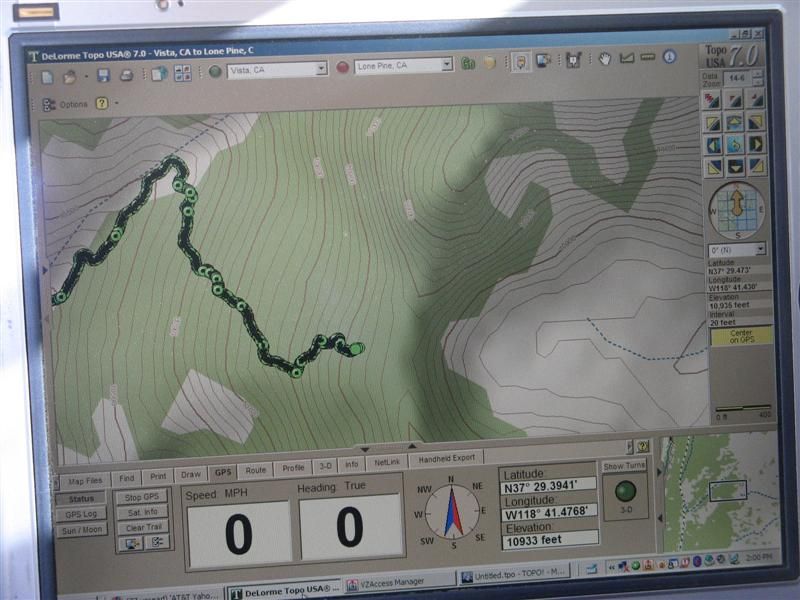
Topo near the top
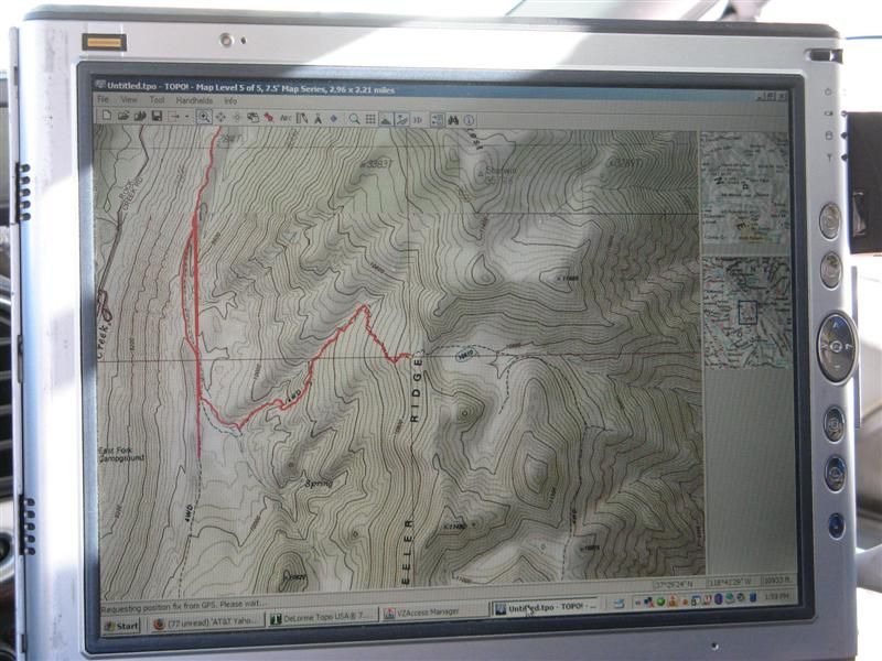
10,933 feet.
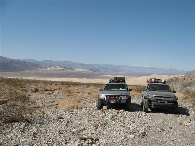
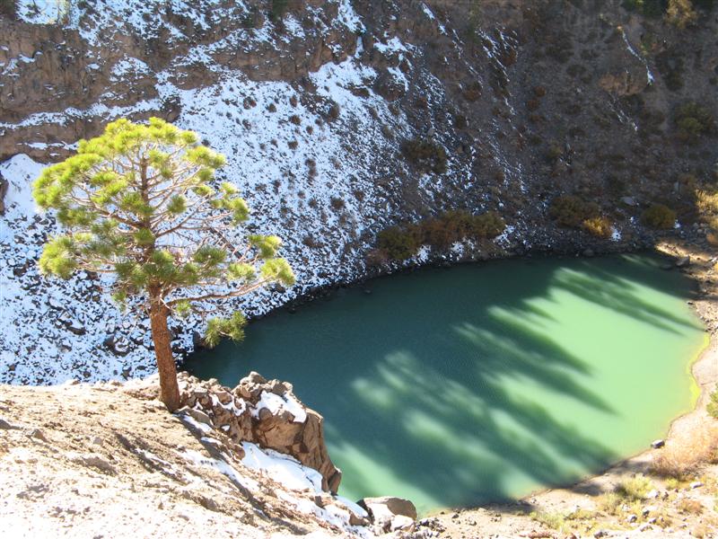
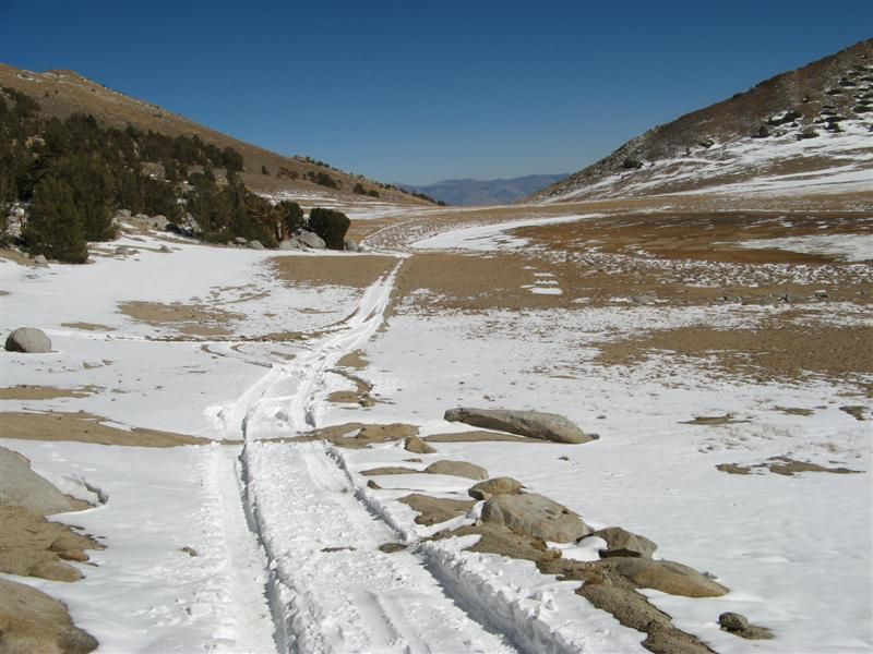
Dry lake on top
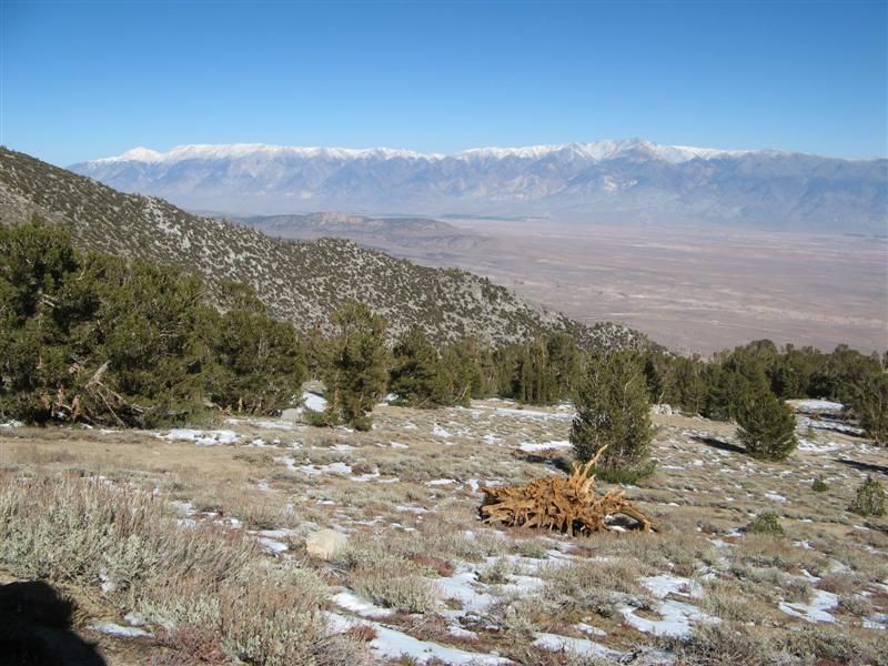
White Mountains across the Owens Valley
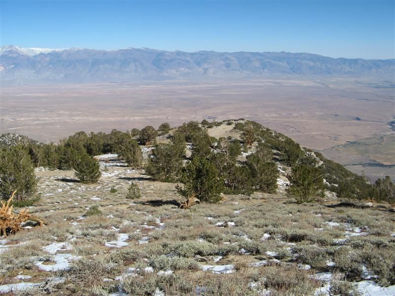
The overlook
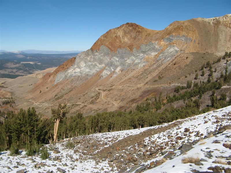
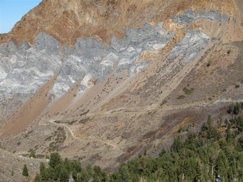
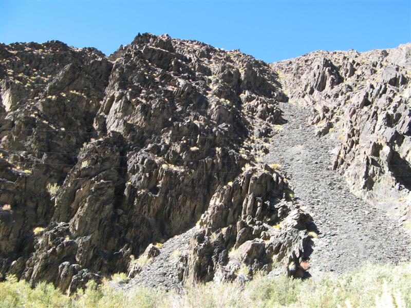
Escarpment caused by ancient earthquake.
Pics continue....